This post will cover stops 10, 11, 12, and 13 as I explore California.
Elk Prairie Campground
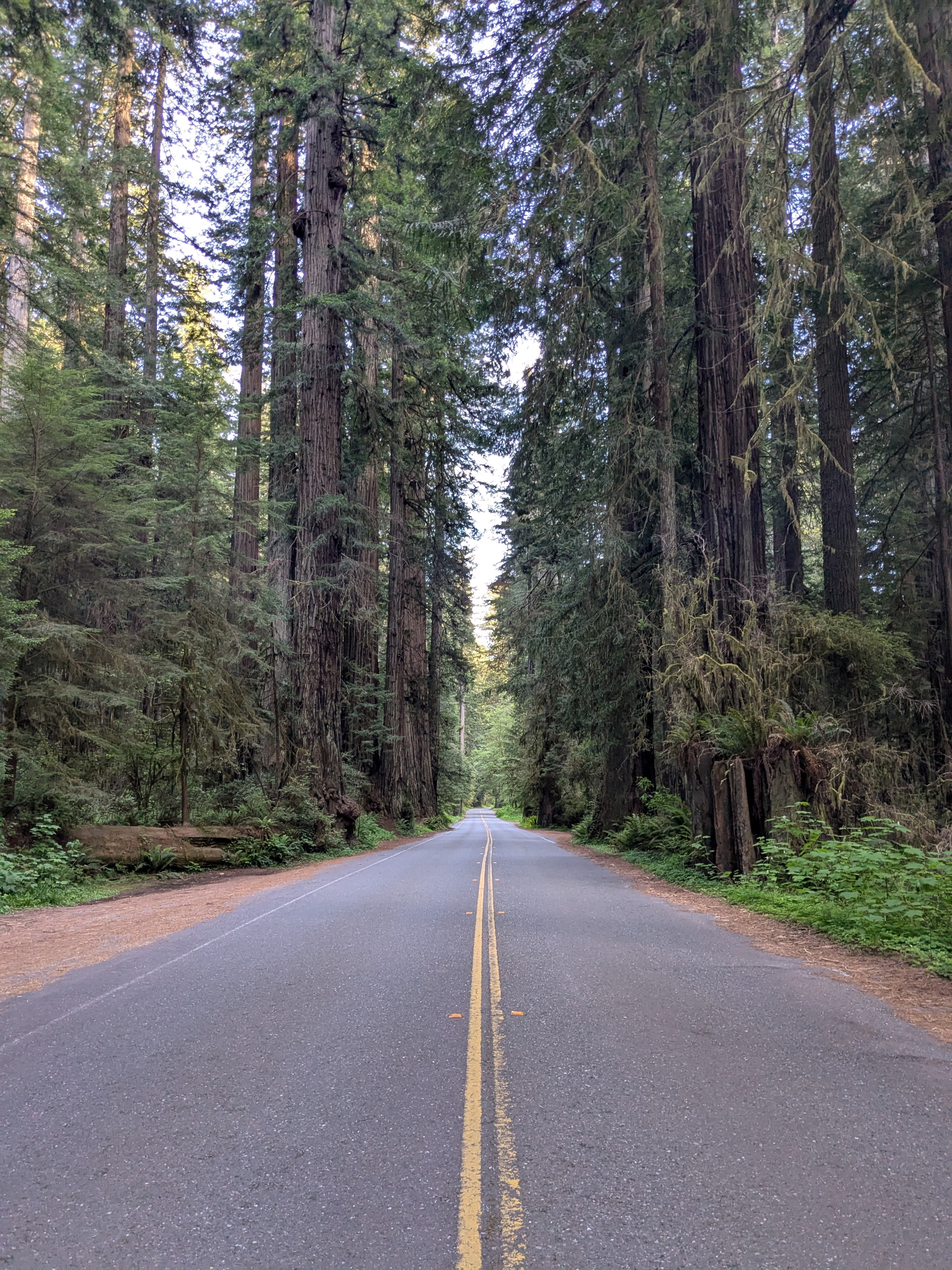
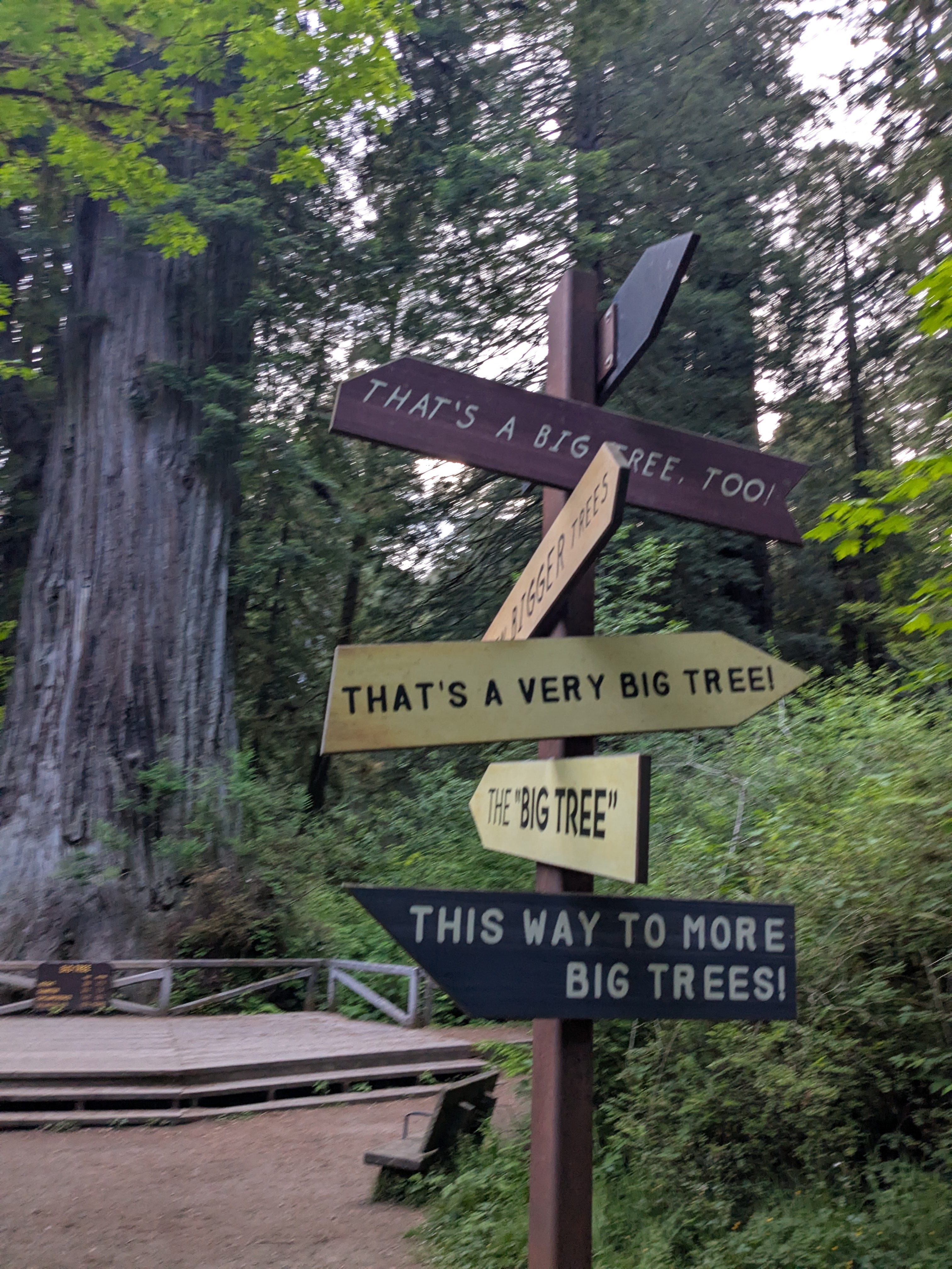
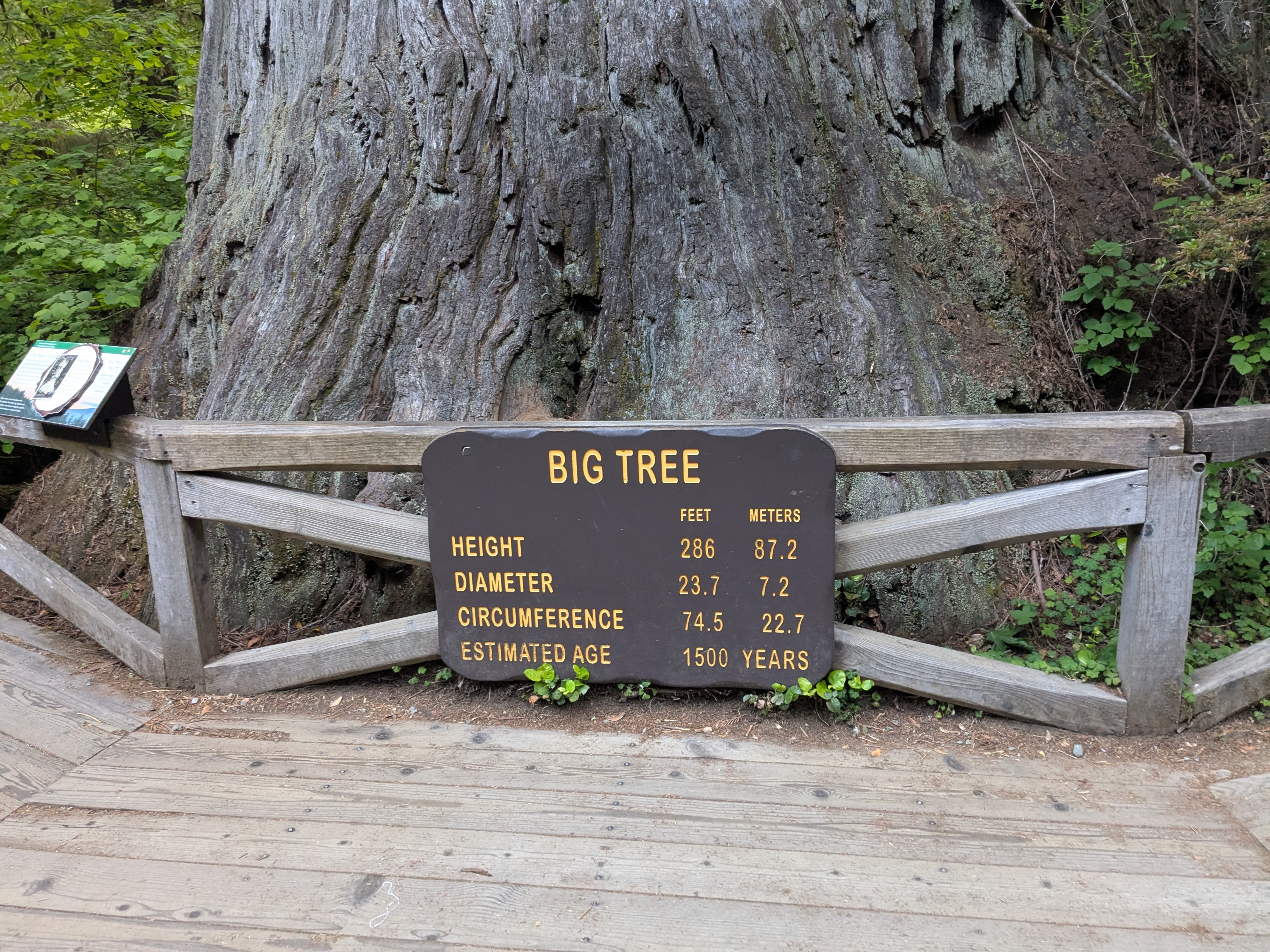
The redwood forests of California contain many massive trees that are older than every city in America. Unfortunately, I had relatively few pictures from this time. This is another instance where I was so focused on the hike that I wasn’t taking many photos.
But when I returned to my campsite, I found out why it’s called “Elk Prairie Campground”, as I found a group of 4 elk casually grazing in the prairie.
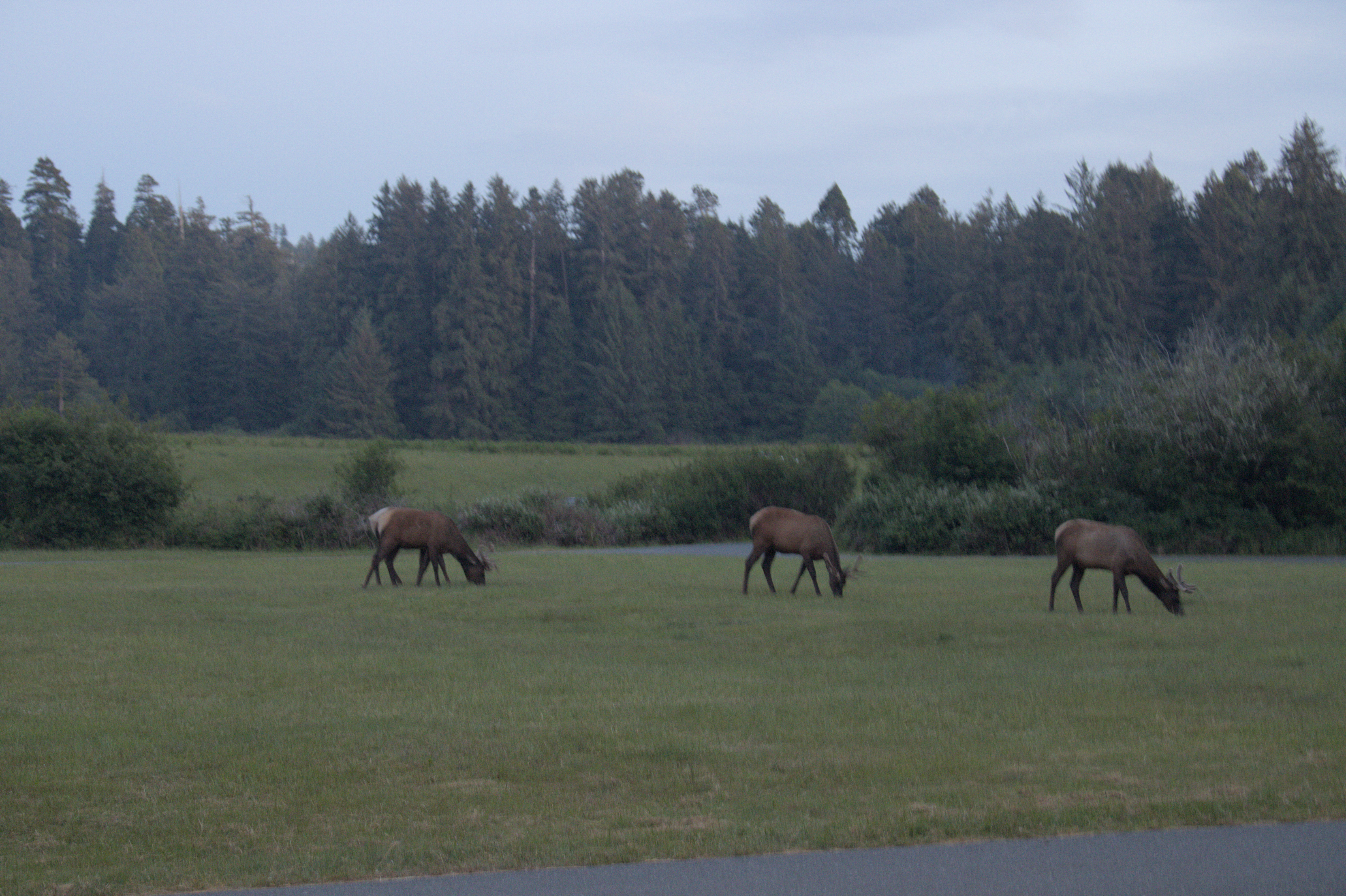
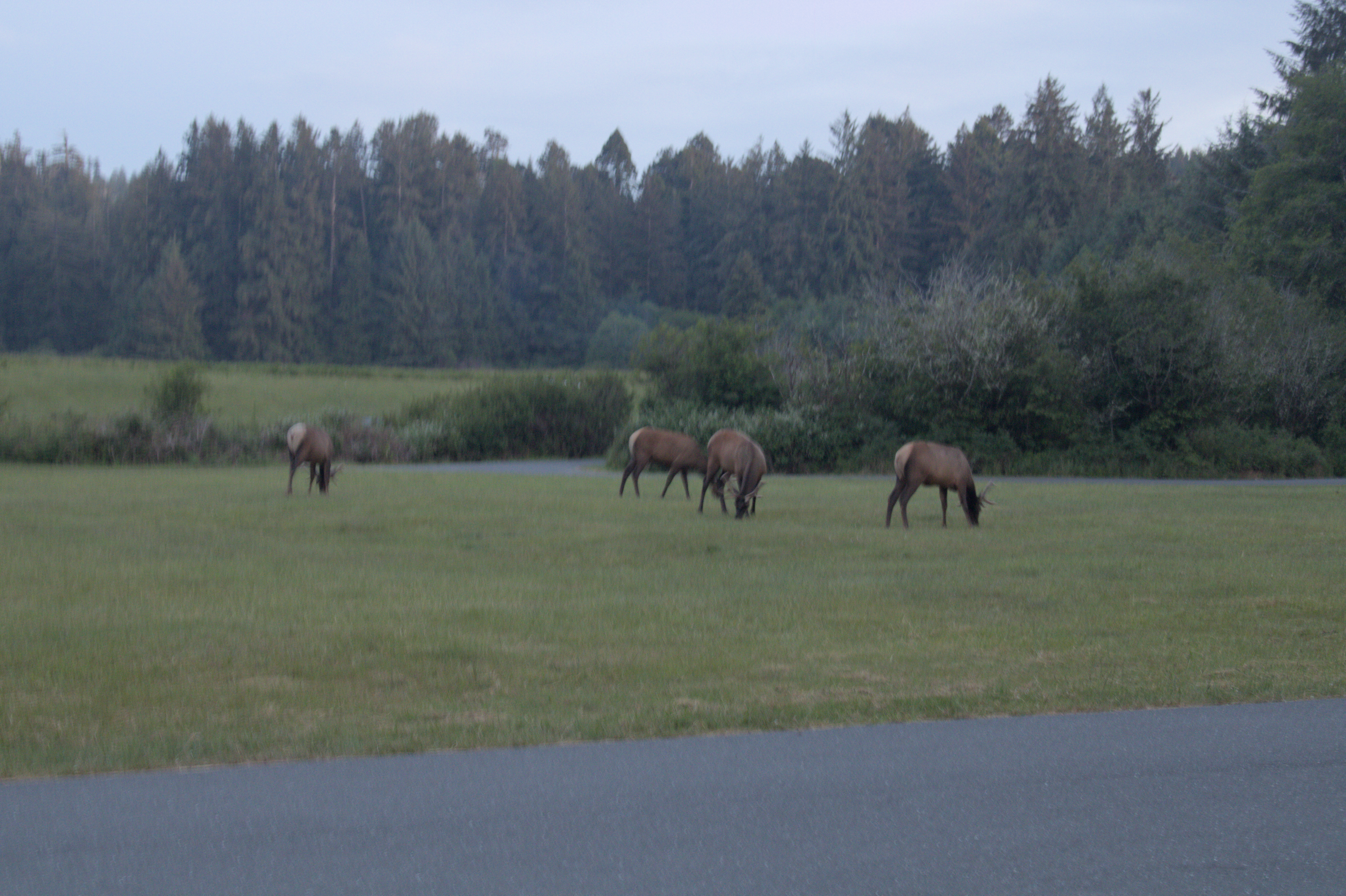
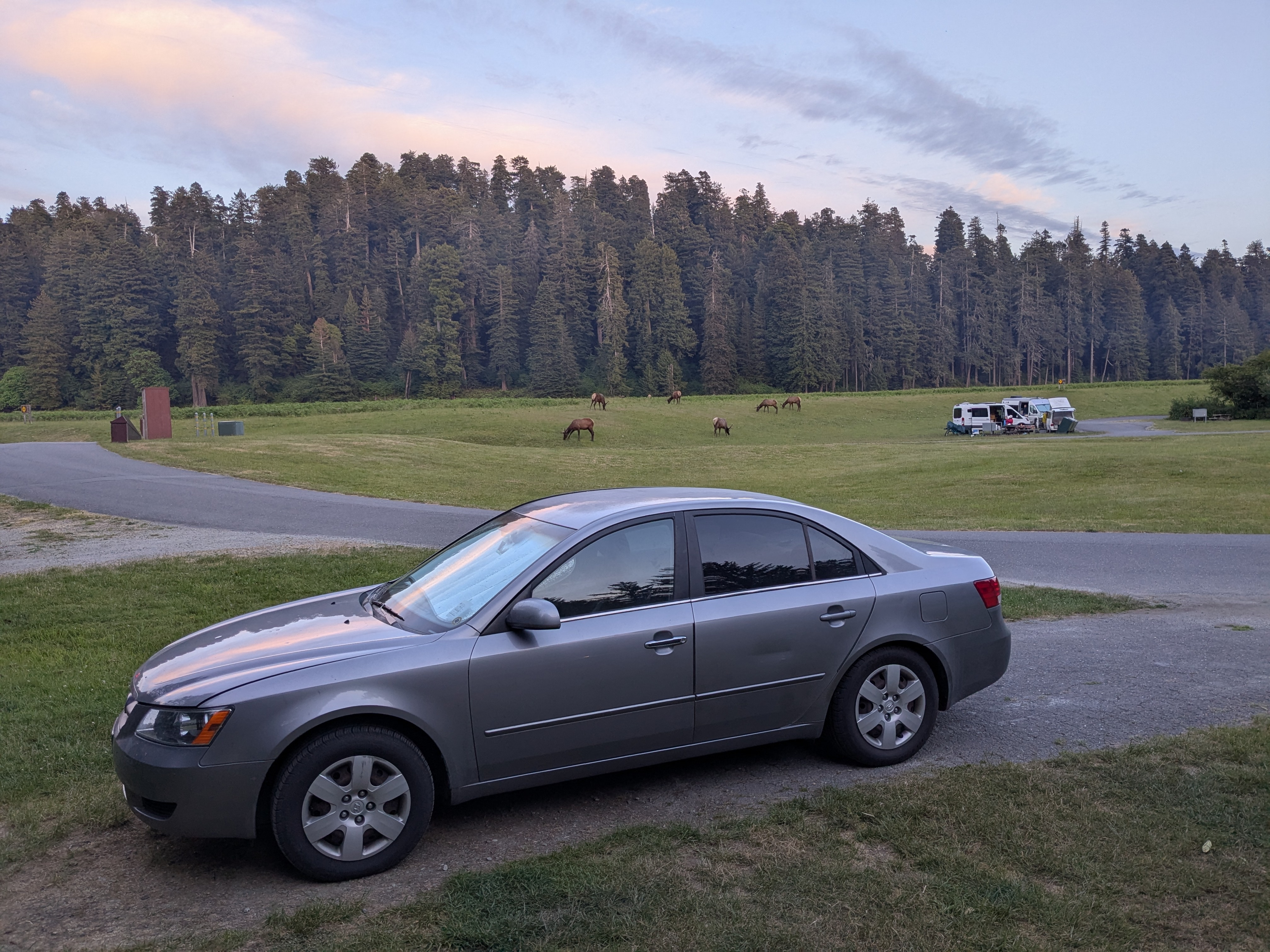
I love going out in nature, but it’s even cooler when it comes to me!
San Francisco & Daly City
I left Elk Prairie Campground at around 9:30am PST. With about a 6.5 hour drive, this meant I had the good fortune of getting the real San Francisco experience by showing up just in time for rush hour!
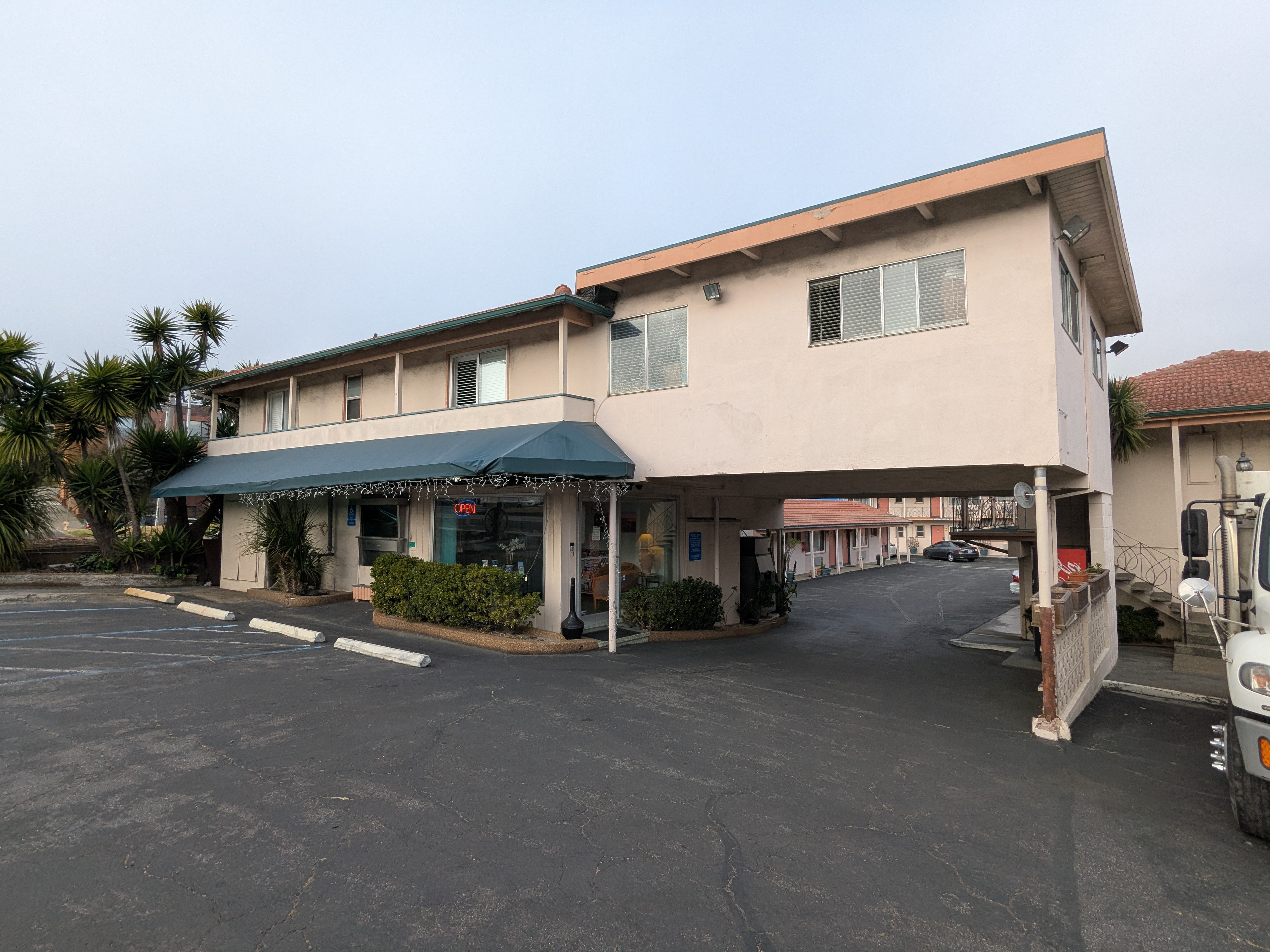
I entered via the Golden Gate Bridge, and made my way through San Francisco to my hotel in Daly City. You see, I used the same plan as I did in Portland: Get a cheaper lodging outside the city center, and take public transit anywhere you want to go. I chose Daly City specifically because it was also covered by Waymo, so that I wouldn’t have to drive much, except to go visit family.
Also, for my first meal, I gained an appreciation for how much Californians appreciate In-N-Out. I’d heard people mention that In-N-Out is the best fast food you can get, so I figured I’d check it out.
On my walk to In-N-Out, I passed by a Wendy’s, which was clearly open. I could see one person inside eating dinner. As I passed, I figured that I must’ve missed the dinner rush. But, when I got to In-N-Out, I found out I was totally wrong. Every seat was filled, and there was a line of cars spilling into the intersection. I’ve never seen a clearer example of consumer preferences in my life.
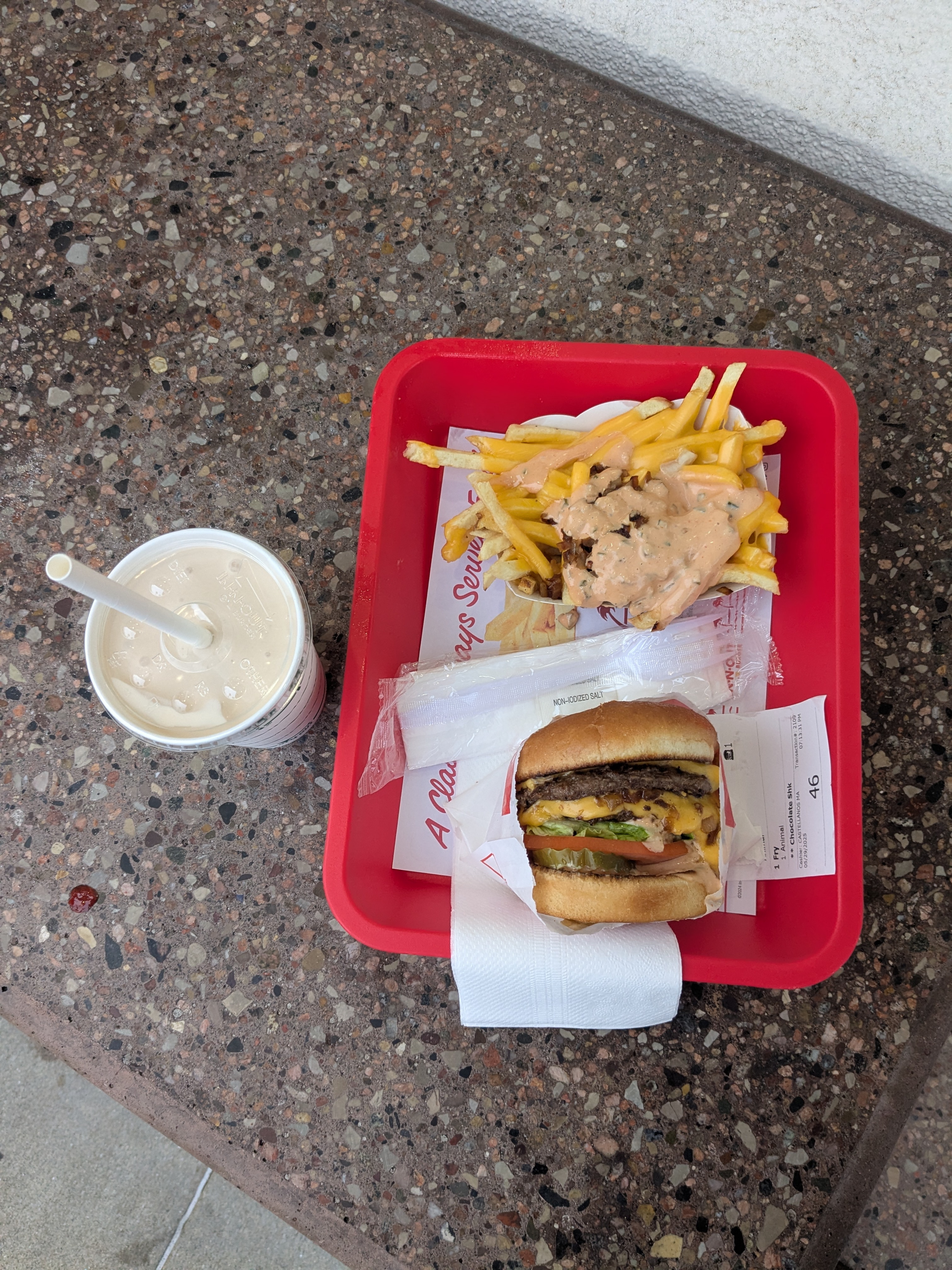
I got a Double Double with Animal Fries and a chocolate shake. It was delicious.
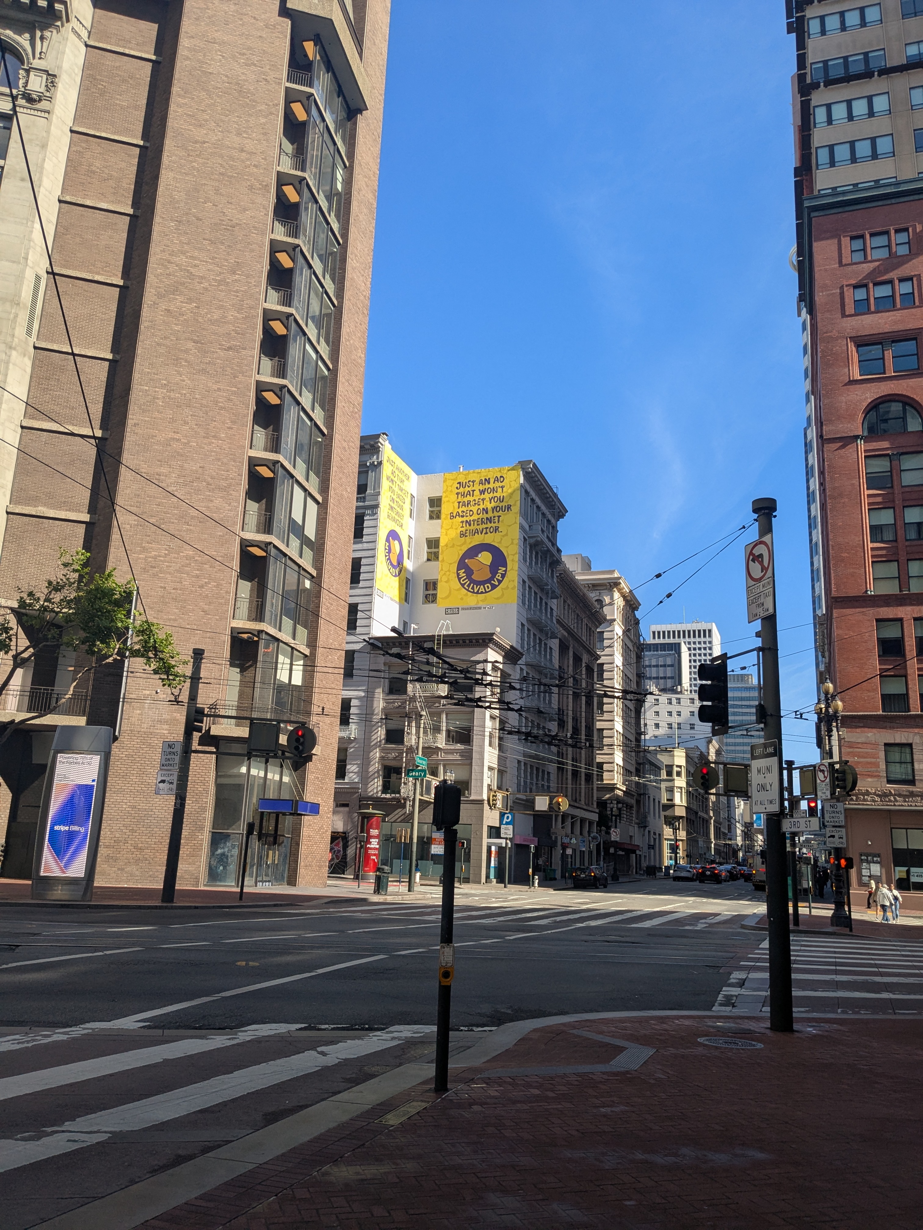
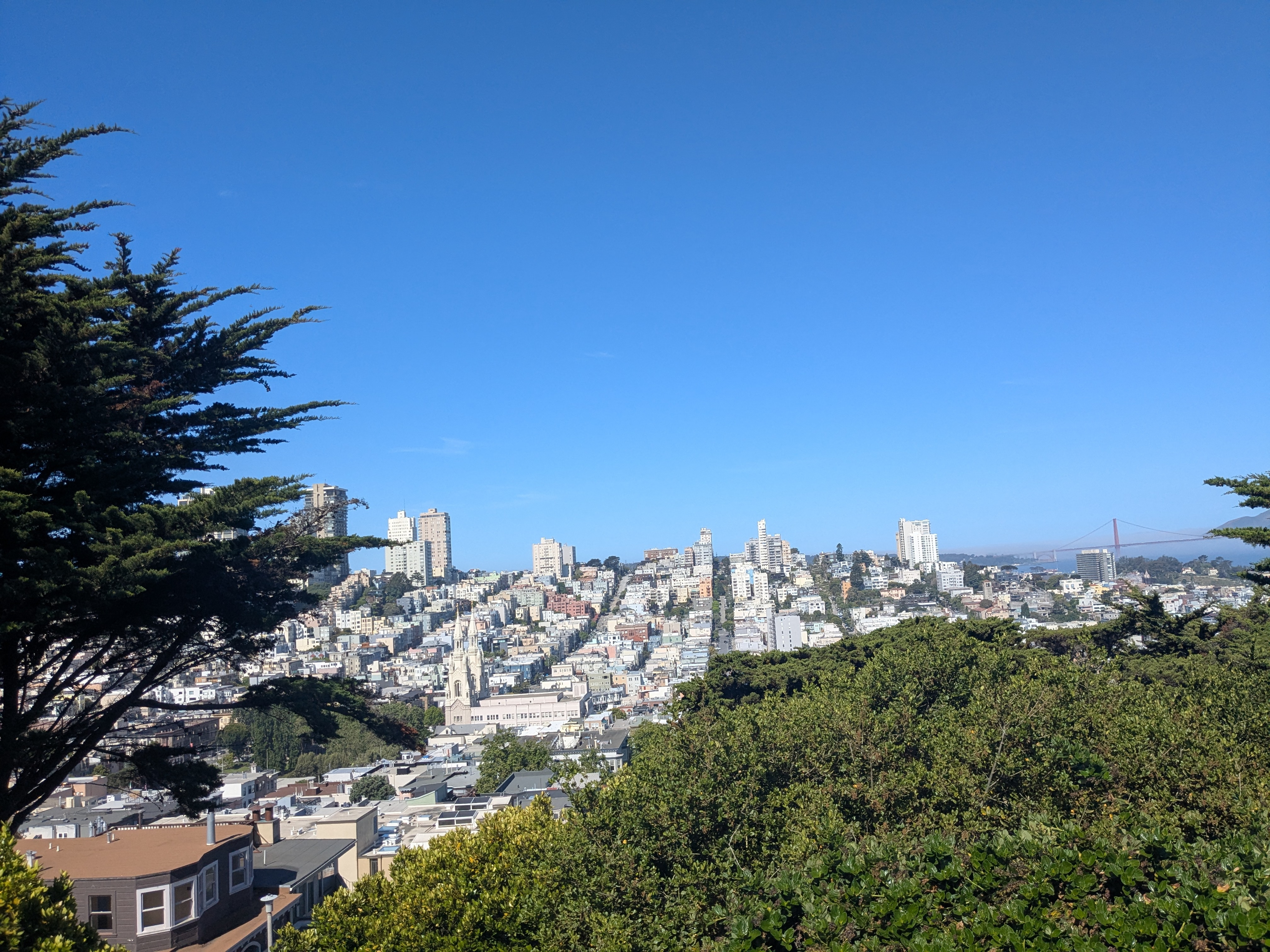
Anyway, for my first foray into San Francisco proper, I hopped on the BART line, and headed to downtown San Francisco. Compared to my reference point of New York City, I was surprised how few people there were while I was walking about. My anecdotal experience is correlated with the observed trend of shrinking activity in downtown SF. It was really interesting to see first-hand how big cities are struggling to recover after COVID.
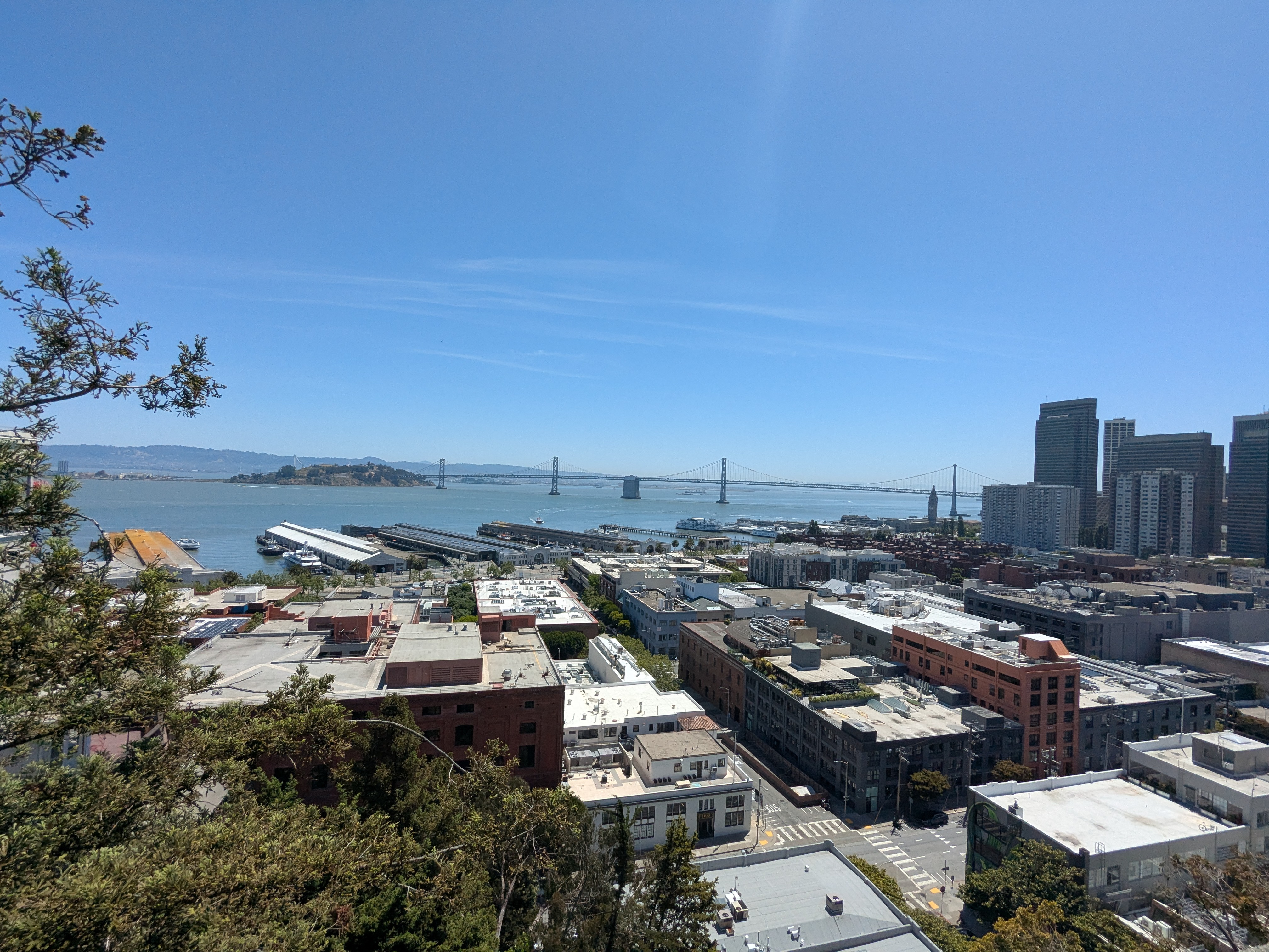
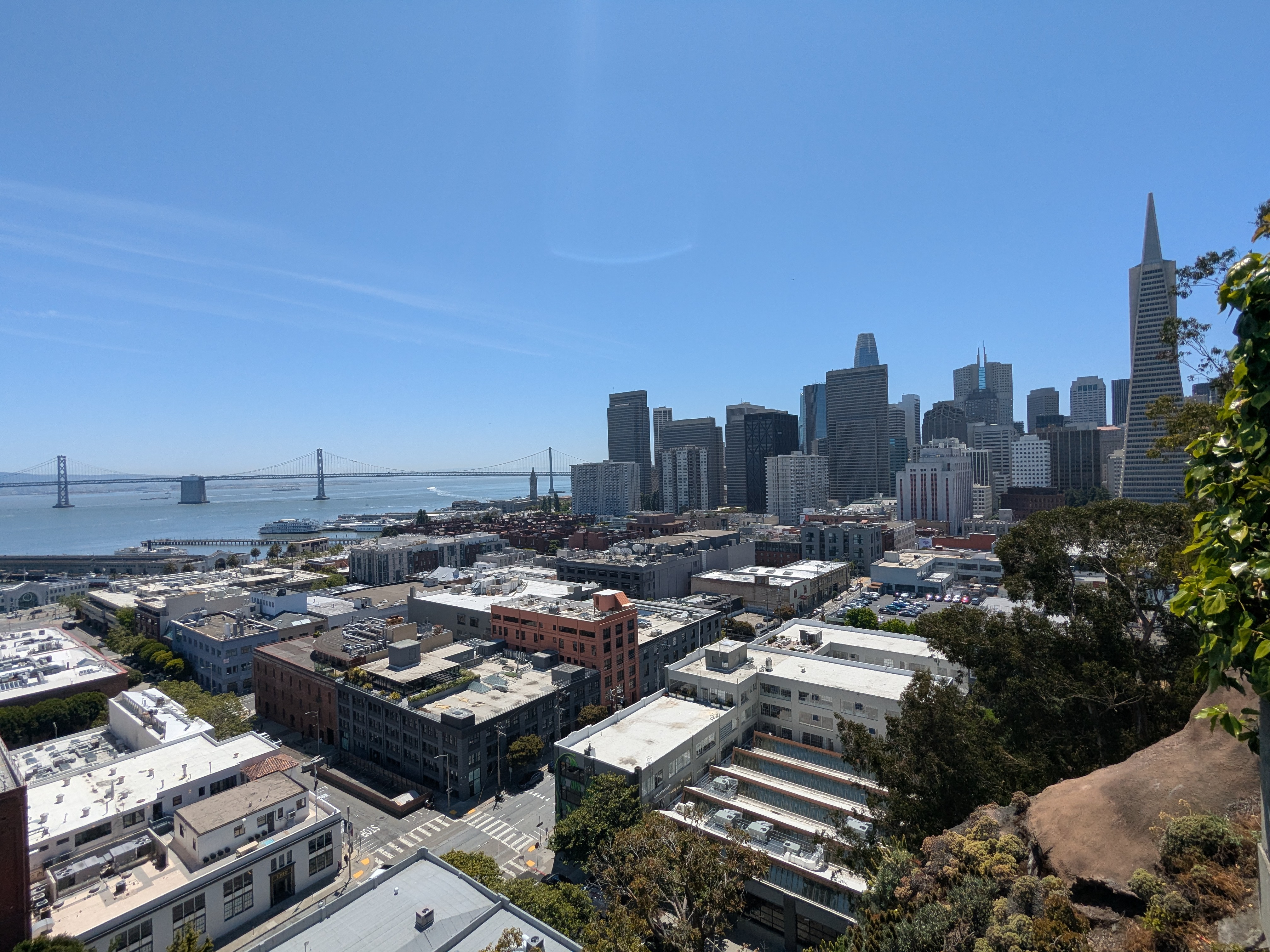
Telegraph Hill
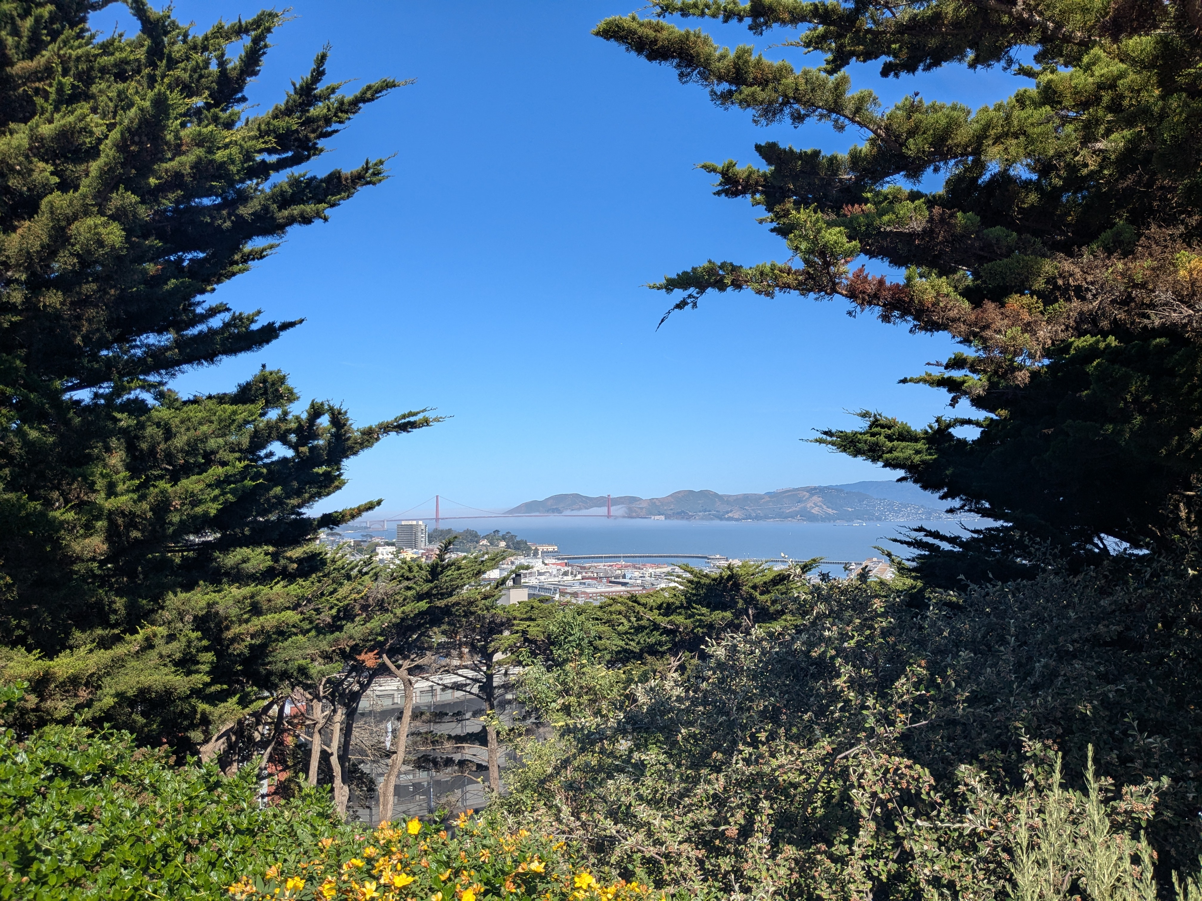
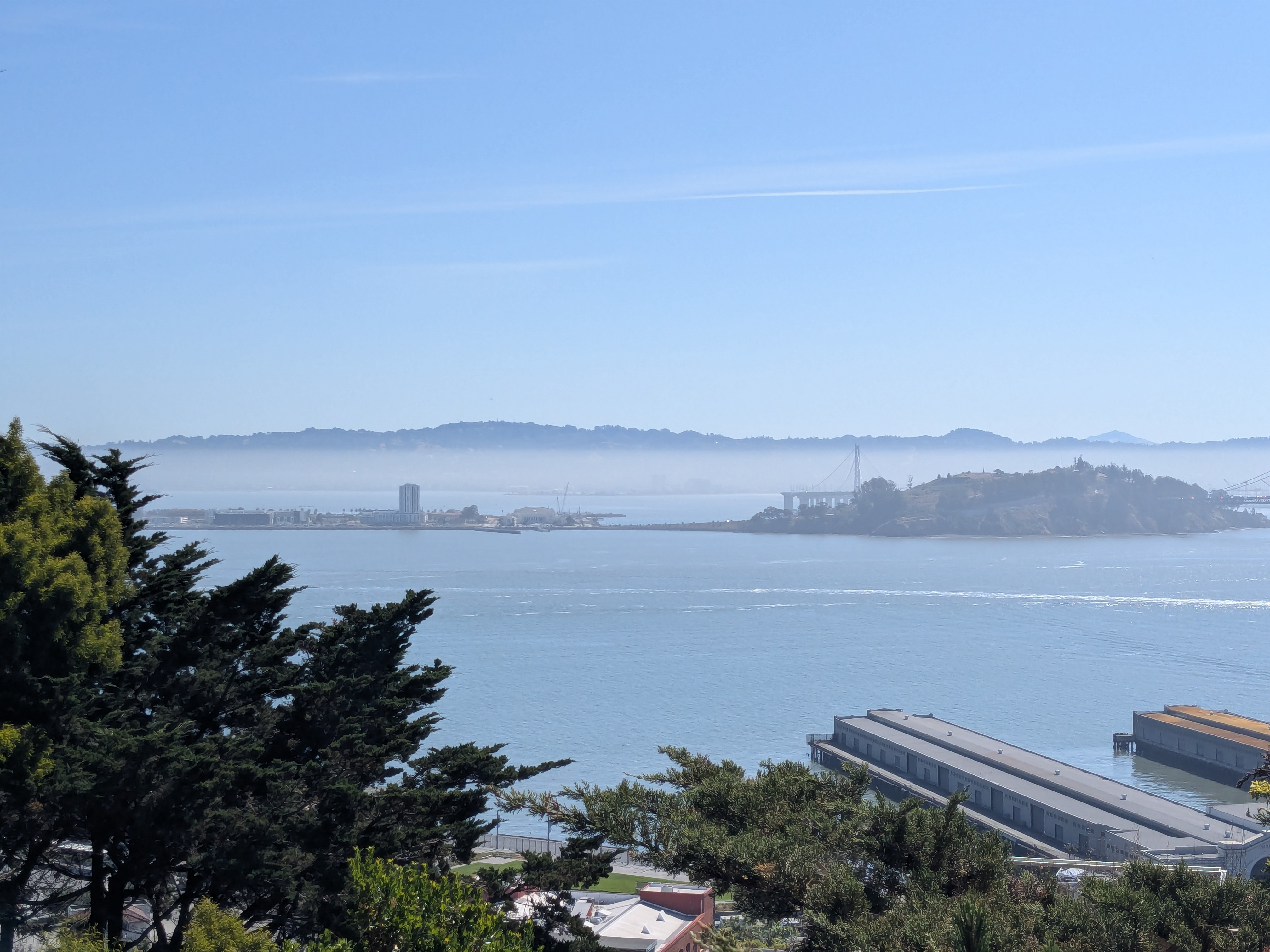
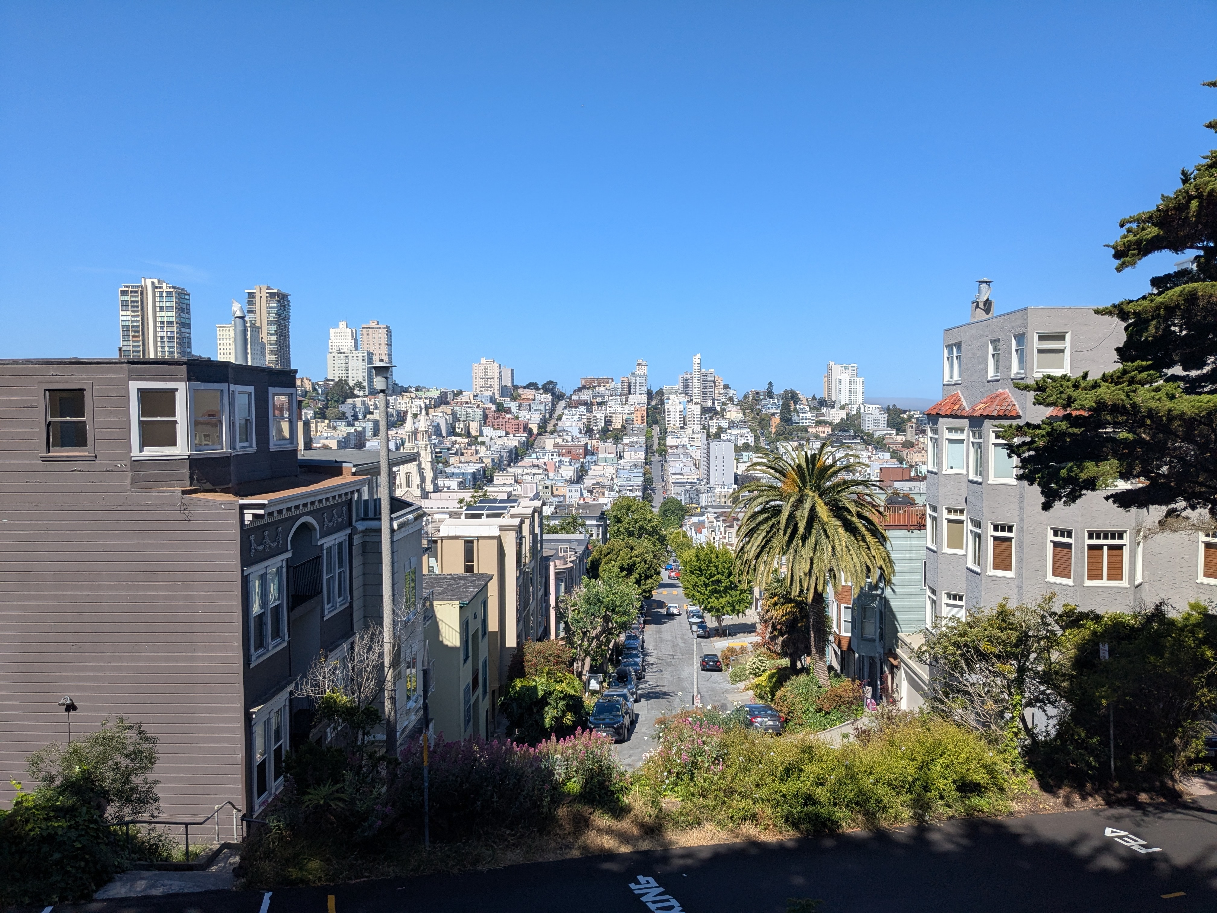
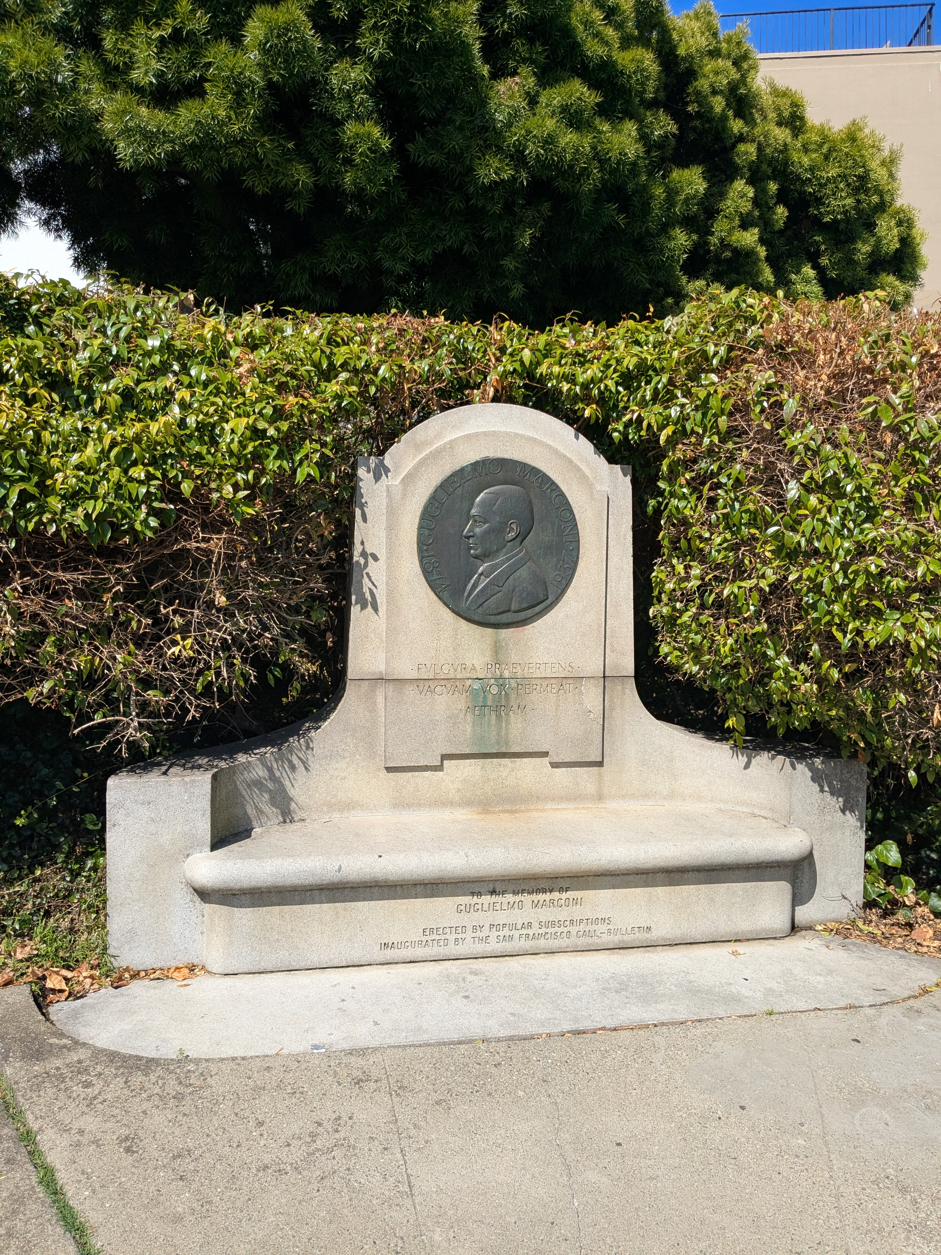
But, I was on my way to the Marconi Monument on Telegraph Hill, for my tour with the San Francisco City Guides. I totally recommend this organization; they offer free volunteer-run tours (with a requested donation of $20). I really enjoyed my tour group, as it was a great way to meet people from the area, as well as other tourists.
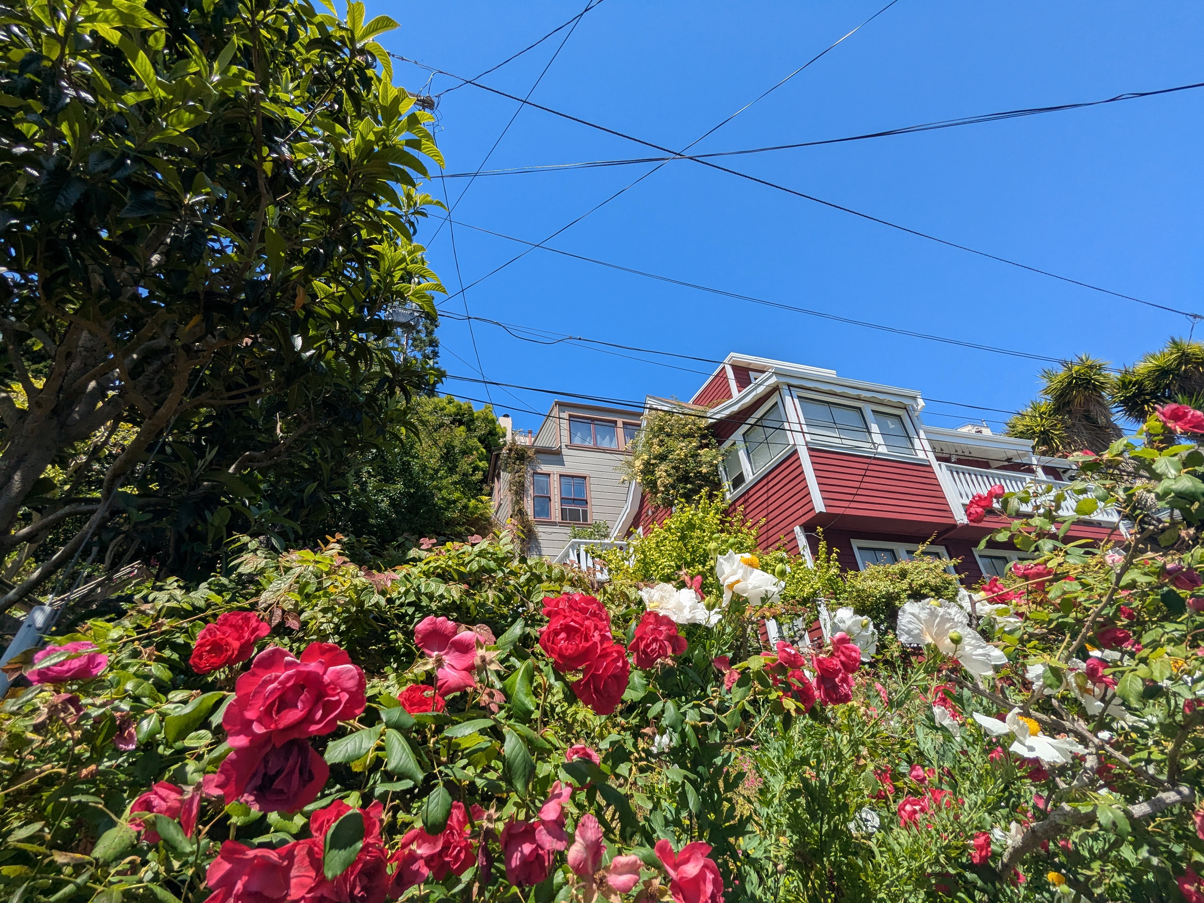
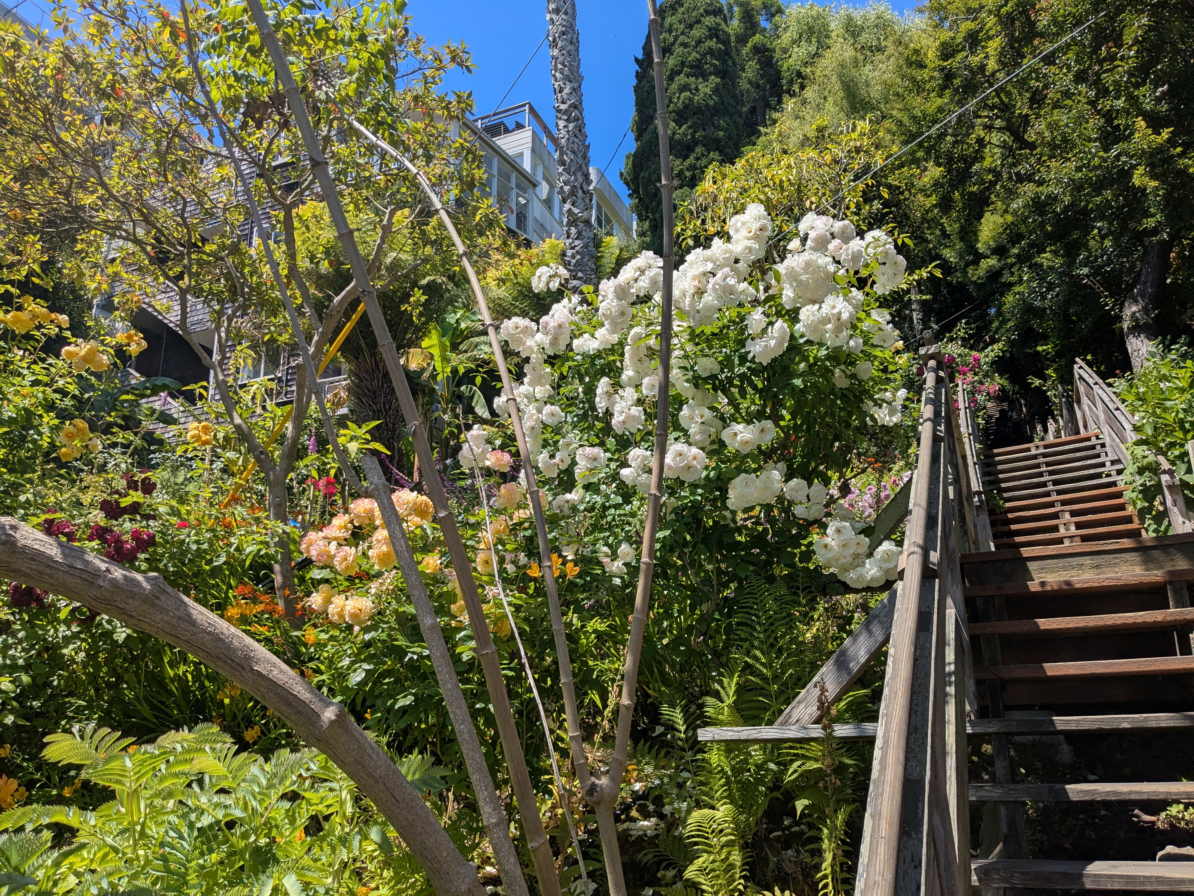
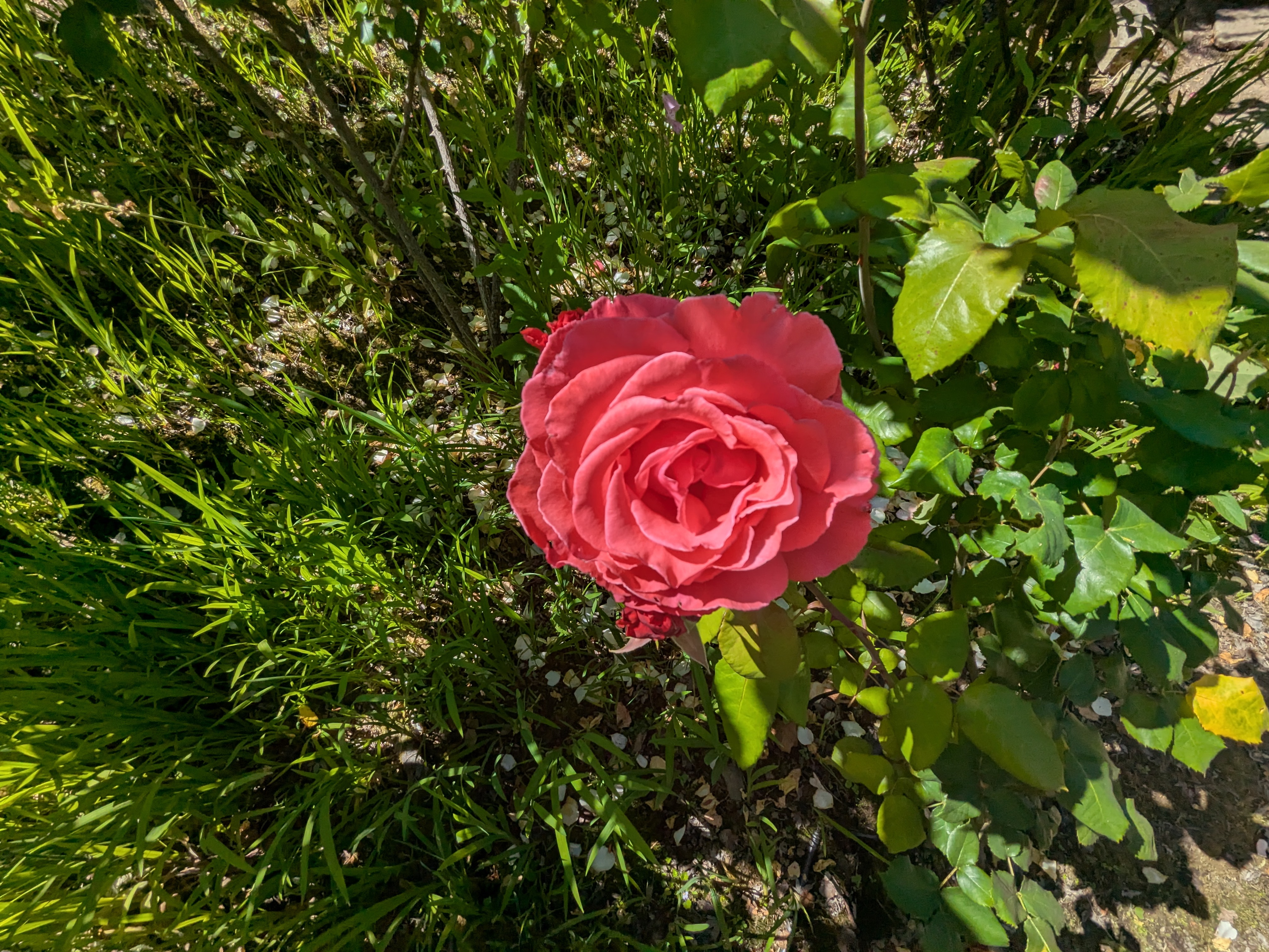
These flowers are part of Grace Marchent Garden along Filbert Street. Now, if you’re like me, you’ll hear “street” and assume it’s a place you can drive your car. However, the Filbert Steps are a victim of the fact San Francisco’s street grid was laid out without respect to any silly concerns like “incline” or “geography”. As such, it’s much too steep to drive, and instead is home to a set of wonderful wooden steps that are simply called a street. I saw some FedEx workers making deliveries while I was there. It’s my belief that this is the place with the fittest delivery people on earth, constantly hiking up and down these long flights of stairs.
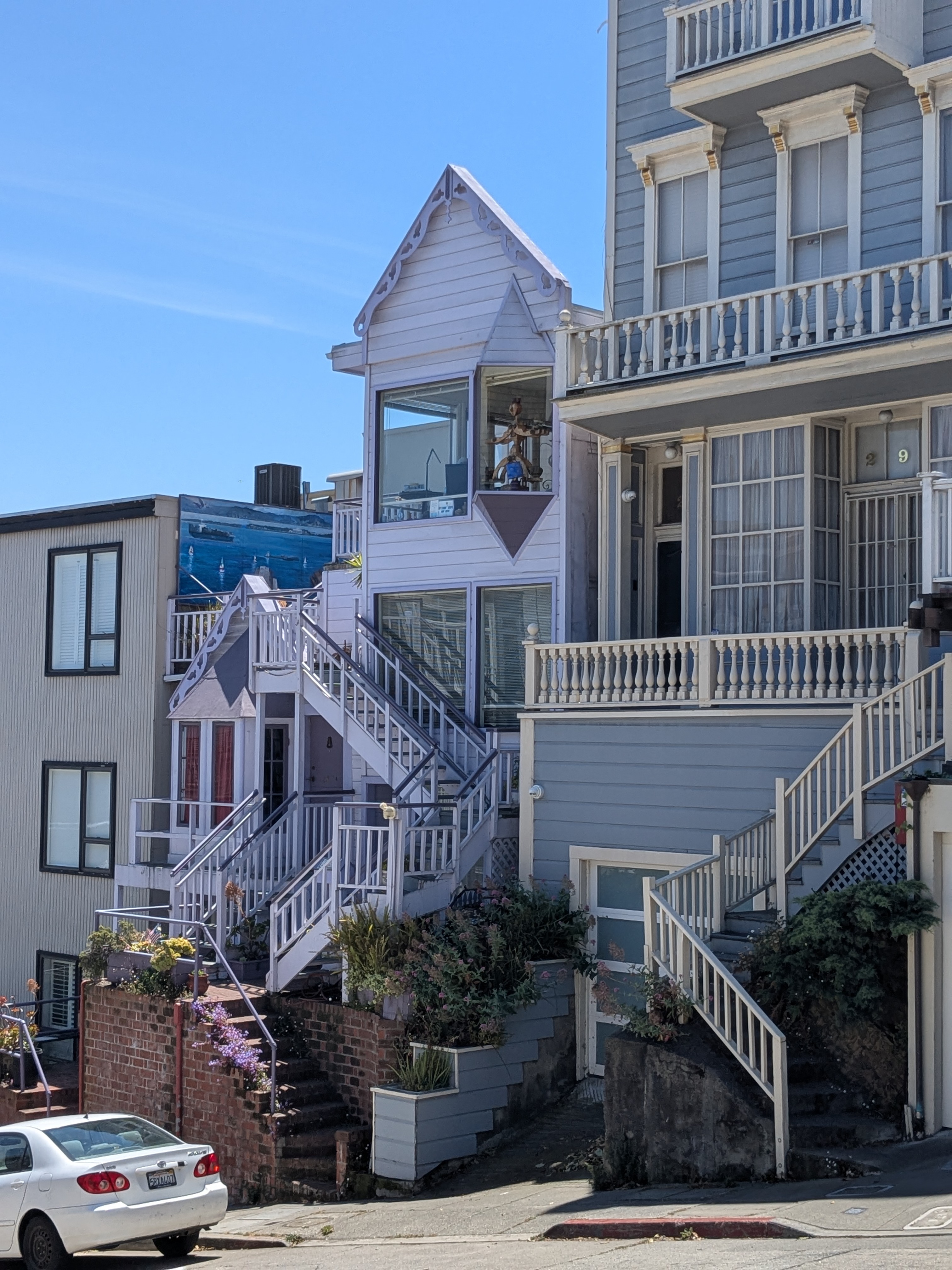
I think the last photo there is a prime example of the history that makes San Francisco special. The building looks like every other commercial building I’ve seen. It’s not clear there’s anything special about it. But, it turns out that building is 202 Green Street, where Philo Farnsworth invented the television.
You can’t walk far in San Francisco without tripping over something historical. Telegraph Hill was originally influential as a location for old-style telegraph operators to operate a wooden semaphore system, describing the ships that entered the bay.
It’s also the filming location for movies like Robert Wise’s “The House on Telegraph Hill” and Alfred Hitchcock’s “Vertigo”.
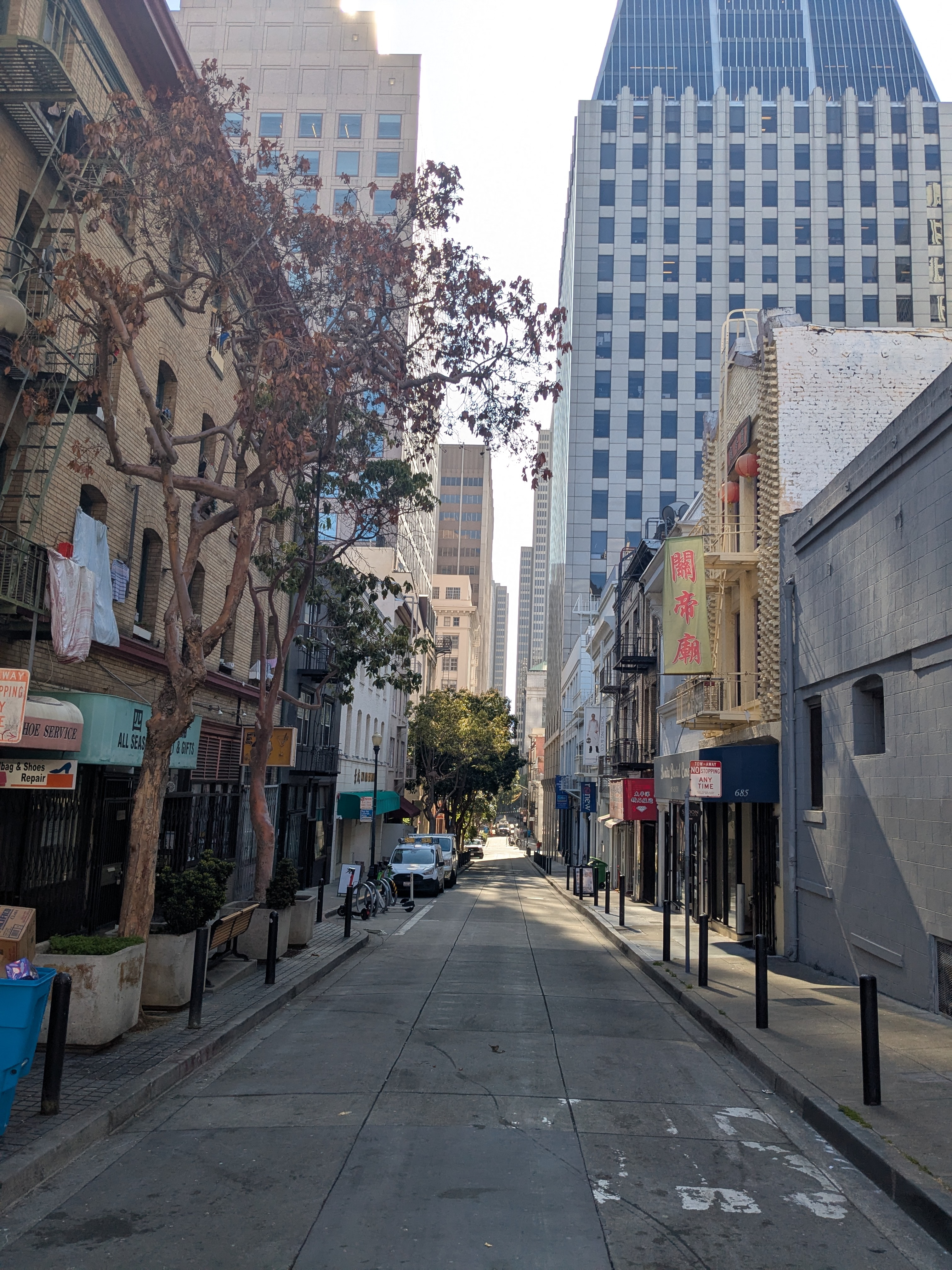
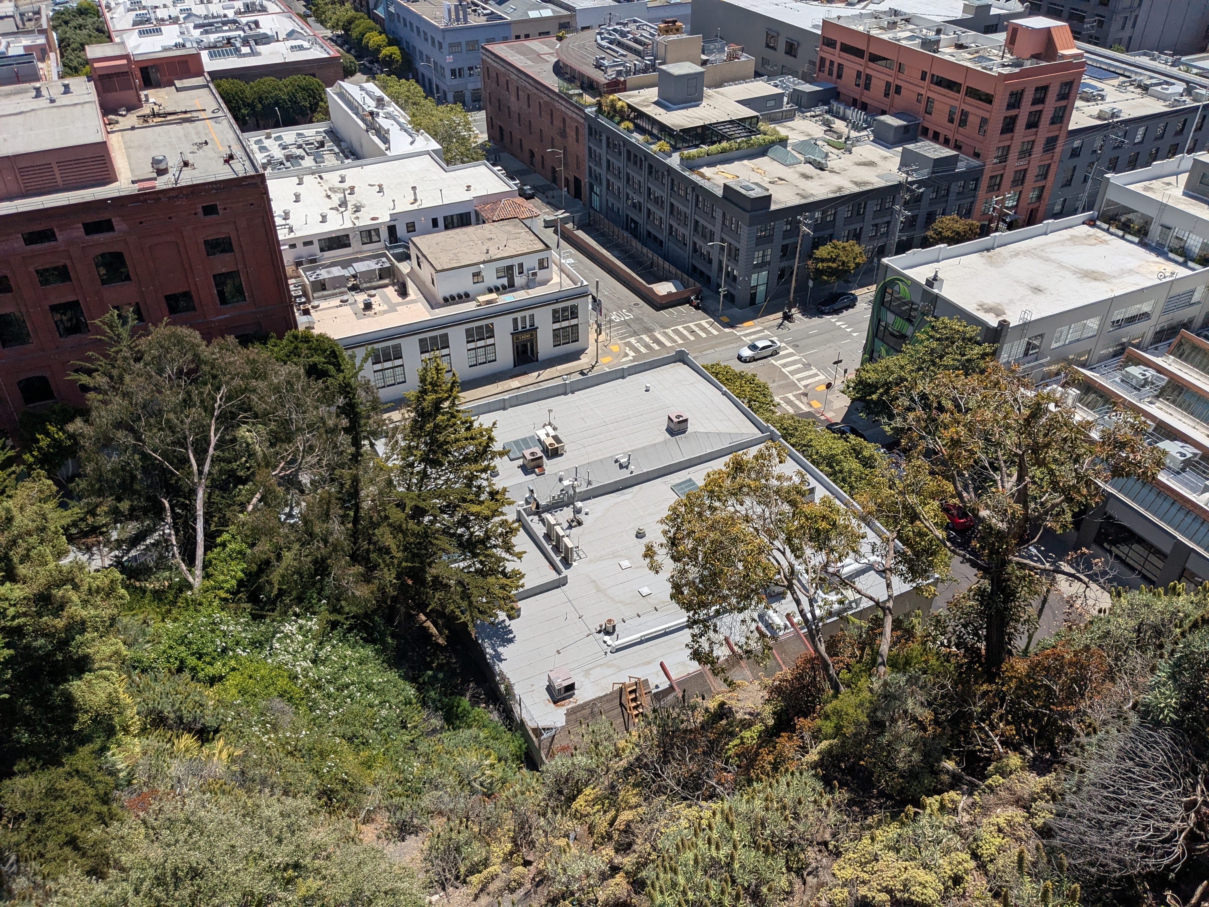
But, with end of my tour, I began the start of a spontaneous 11 mile hike around San Francisco, beginning with Fort Mason and the Marina District. As I explored, I’d be surprised by how everything felt normal. But then, I’d be even more surprised by the startling differences. Like, the design of an intersection is the same in San Francisco as it is in Cincinnati, Ohio. It’s just the traffic passing through it that stands out:
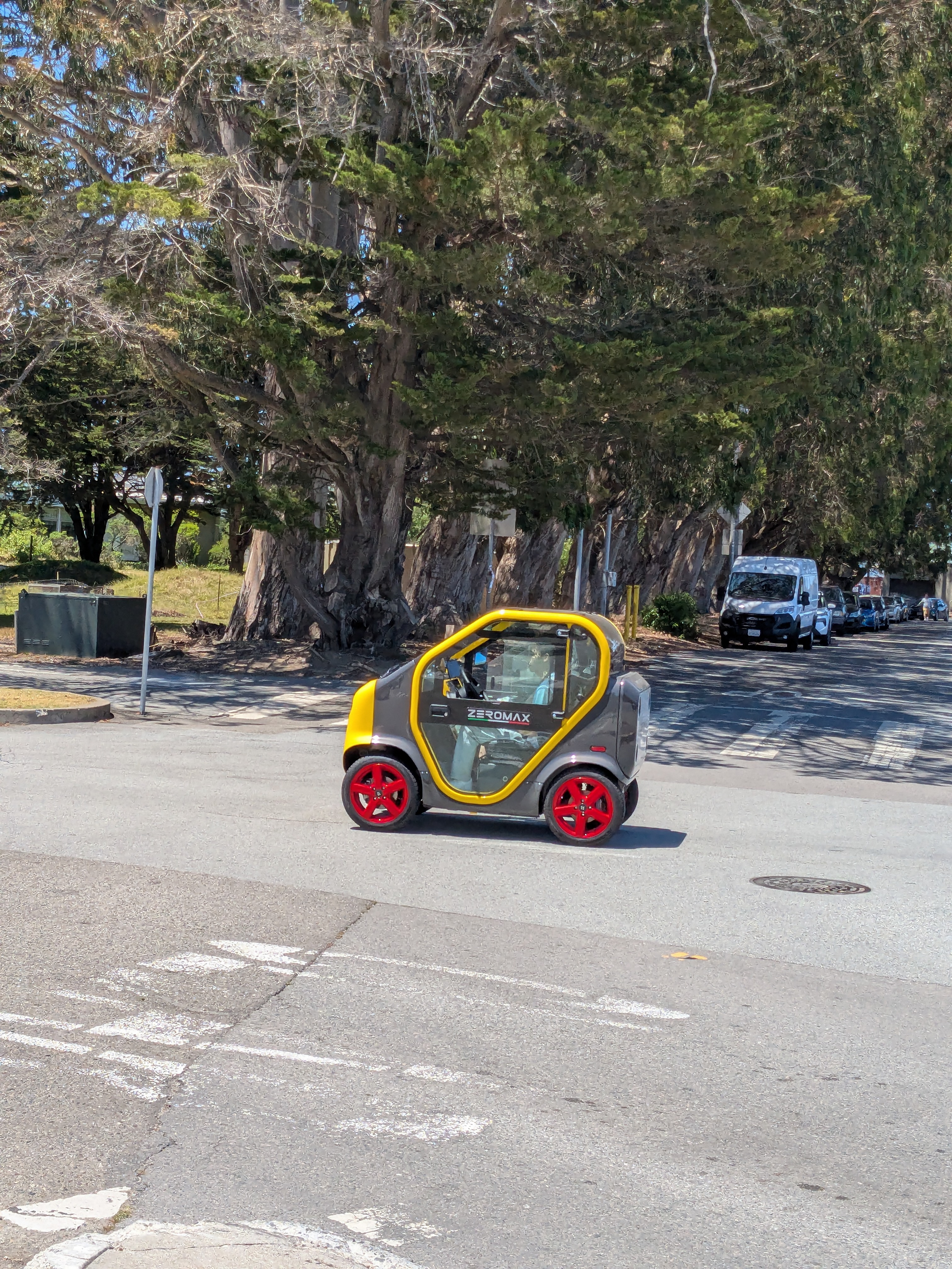
And so it goes with things like grocery stores and fast food. Like, we have the same designs for big box retail and pad site quick-service restaurants in Cincinnati. It’s just that in San Francisco, there’s ten times the amount of people.
Palace of Fine Arts
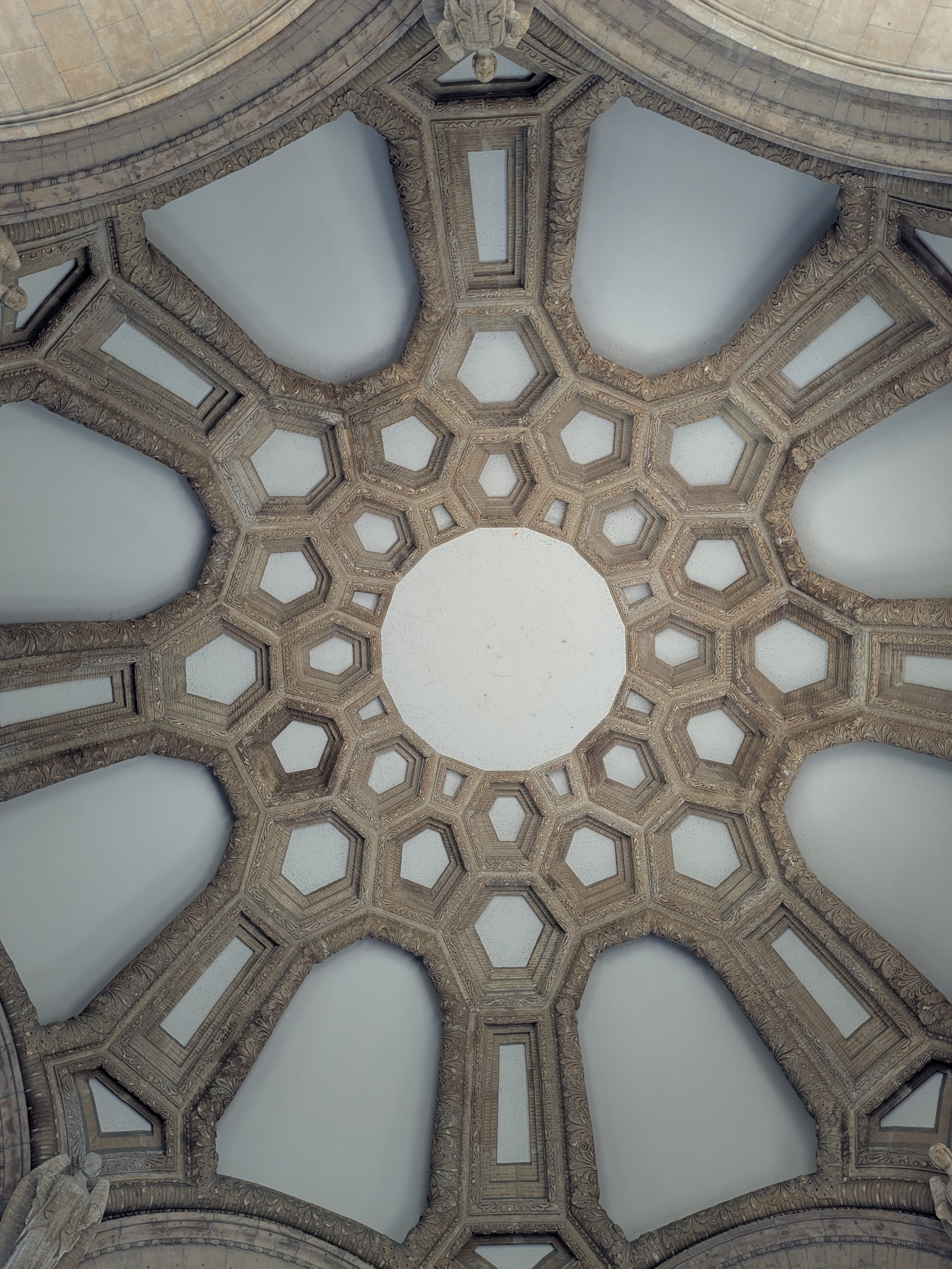
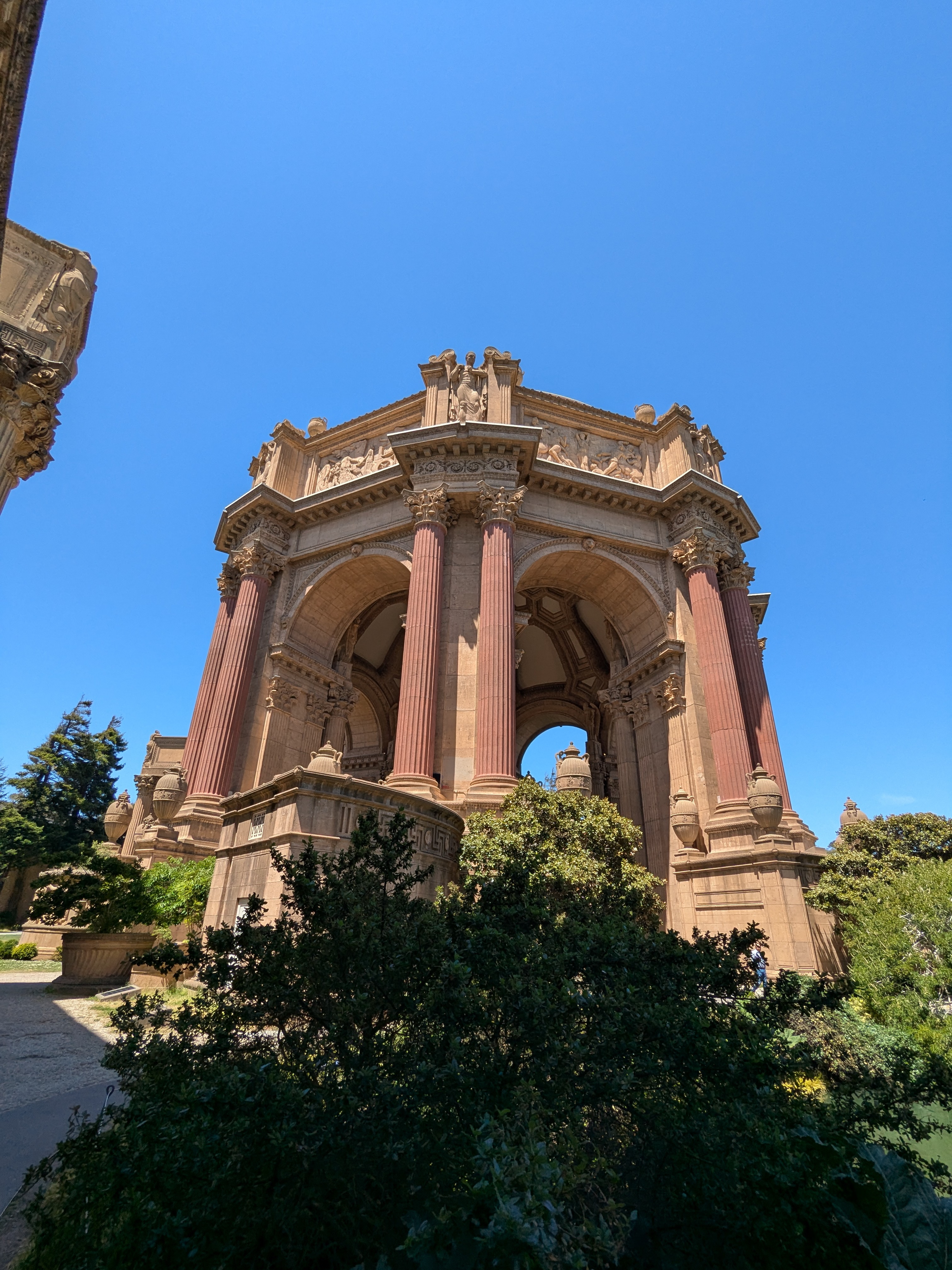
I wandered into the Palace of Fine Arts, and was taken aback by the massive scale of 14 acre complex, which contrasted with the general packed-in feel I got from the rest of the Marina District.
Having Waymo Fun
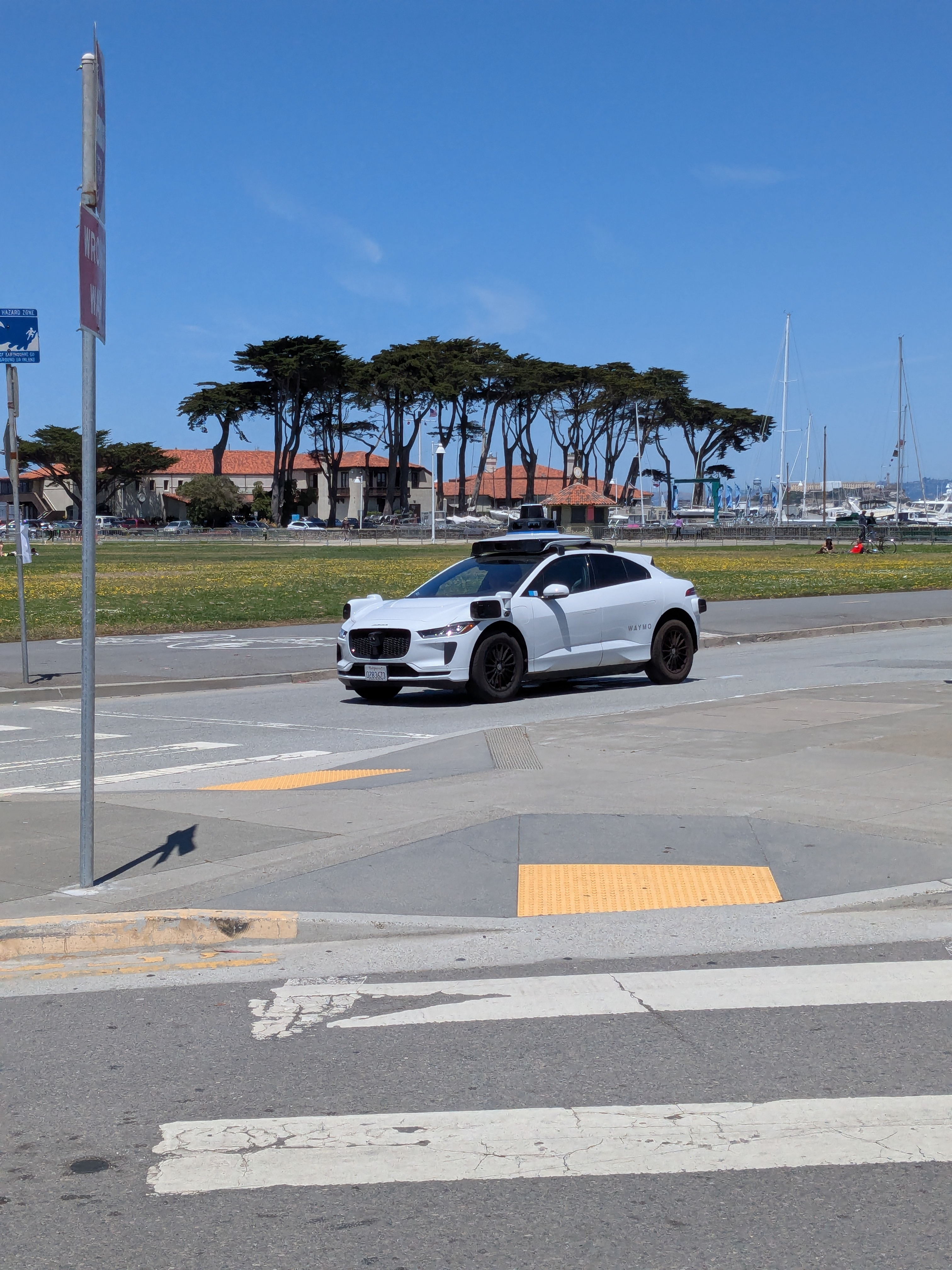
On my way to the Golden Gate Park, I decided it’d be a good time to try hailing a Waymo. Originally, I’d planned to use them as a primary mode of transportation, but I didn’t realize how expensive they’d be. Even short trips are $30, with longer trips easily reaching $60. This contrasted with the BART line, which could take me from my hotel in Daly City to Downtown SF for around $4.30.
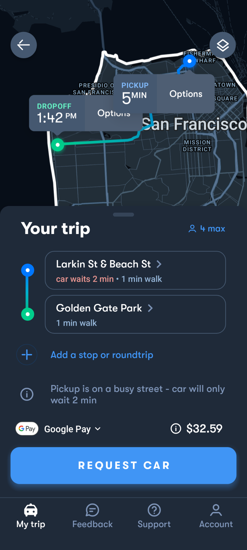
After this, I walked a little bit further to save a few more bucks. But, I was excited as I waited for my ride to arrive. Fully autonomous cars have always felt like a far-off dream of the future, and the fact that they’re real enough to cope with the traffic of San Francisco is tremendously exciting. My ride arrived quickly:
I got in, and it took off! The ride started with an automatic safety briefing, reminding me to use my seatbelt and warning me that my actions may be recorded. After it was over, it defaulted to playing lo-fi hiphop music, with options to choose different music from a selection or via my phone. Overall, it was a comfortable and reliable experience, and I’d definitely choose it over Uber if I had the option.
Here’s a video of it effortlessly navigating a car parked in the right lane:
But after all, Waymo has proven its reliability over time. According to Waymo, they’ve supported over 22 million rider-only miles in San Francisco, and over 71 million rider-only miles in all areas combined (as of March 2025). Self driving cars are here to stay.
Talking with locals and other tourists, it was interesting to get a variety of perspectives. From a tourist perspective, the response was unanimously positive. Waymos are easy to use, and enable further mobility outside public transit. However, when talking with people who live in the area, I recieved more mixed reviews. While some people referred to them as “the future”, others considered them annoying to drive around, as they had different driving characteristics to the average San Francisco driver. That is, the Waymo Driver prioritizes being safe and obeying the law, which conflicts with other drivers’ priorities of getting places quickly. I was told that the Waymo Driver can be slow to accelerate and generally doesn’t break the speed limit, even when everyone else does. However, it seems to me that the the cost of driverless vehicles mildly annoying impatient drivers doesn’t outweigh their benefits. But then again, I don’t have to deal with them every day.
After taking this ride, I continued my 11 mile hike by walking through Golden Gate Park to the beach, and taking a long walk along Ocean Beach.
When it was time to go home, I thought about taking a Waymo, but it was cheaper and easier to take the bus.
Visiting Family
Thanks to Noreen, Sam, and Katrina for being such wonderful hosts!
It was great to see you again!
Visiting Friends
I also had the opportunity to meet up with a friend for boba at the Urban Ritual Cafe!
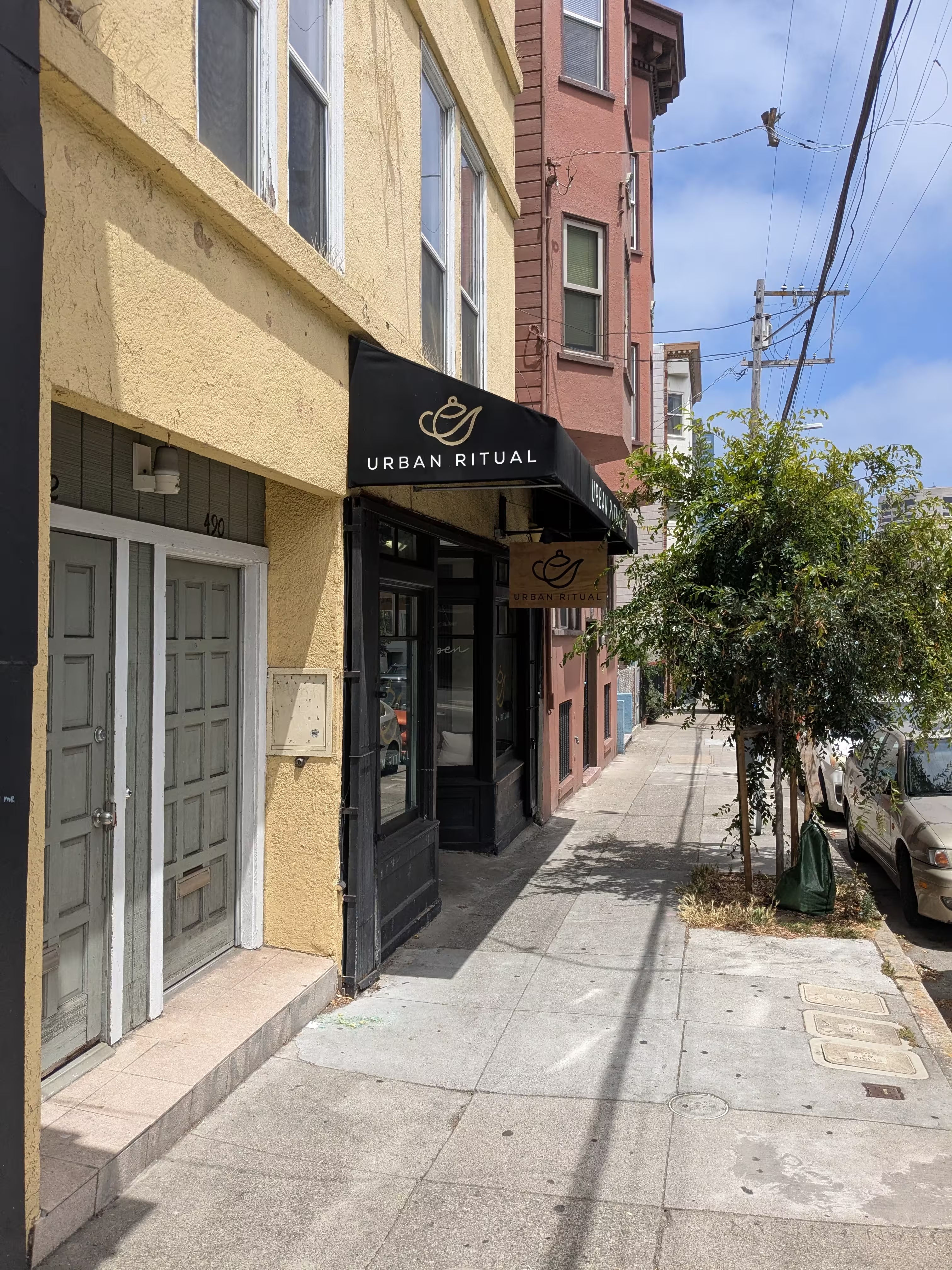
Thanks Ayushe! I appreciated the opportunity to catch up.
Boba Rating: 10/10
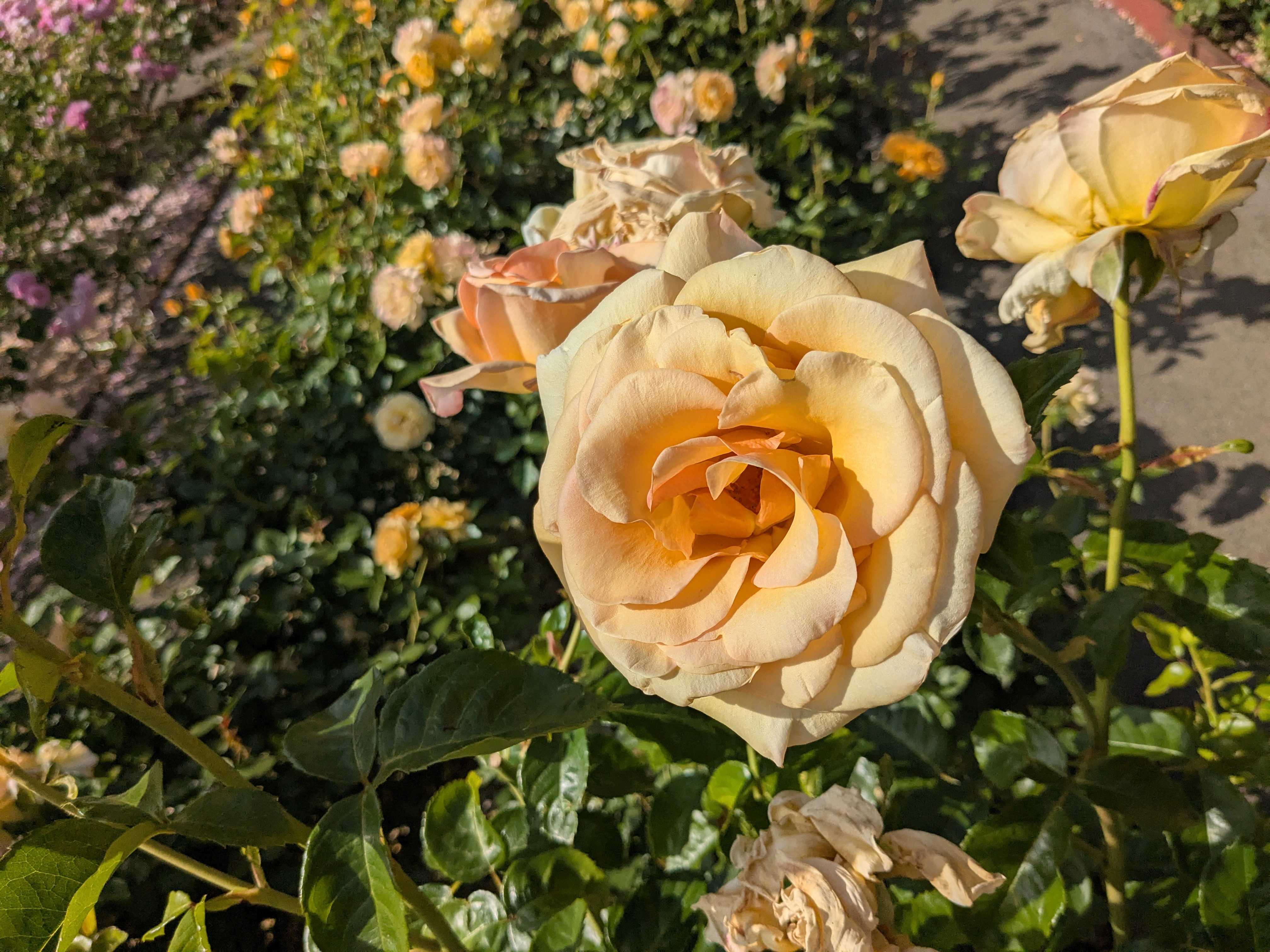
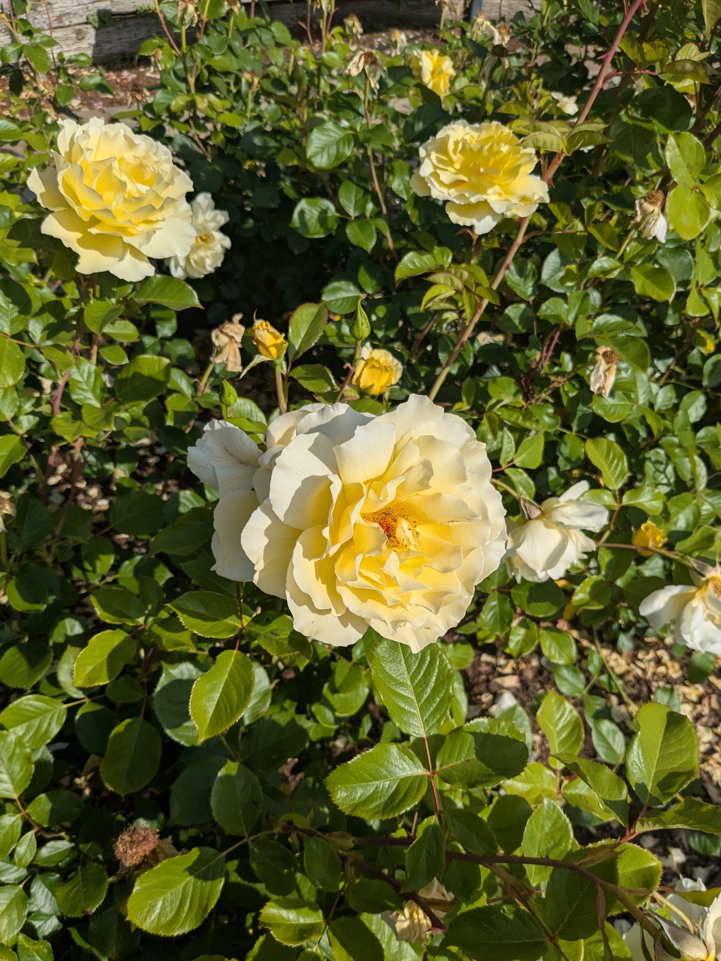
Berkeley Rose Garden
And, after a bit more wandering, I found myself in the Berkeley Rose Garden, which was a fun comparison to Portland’s rose garden.
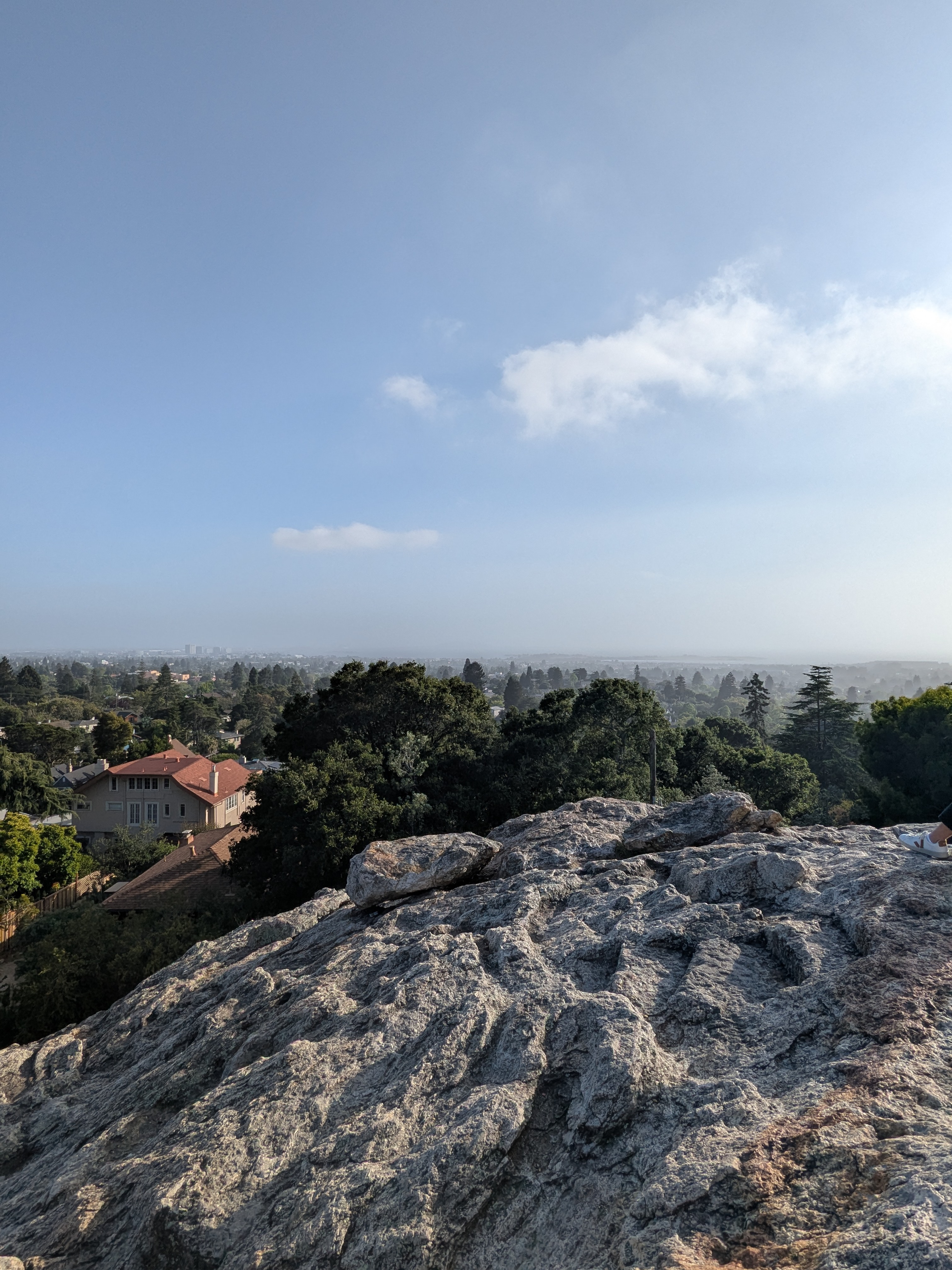
Indian Rock Park
Berkeley also has a rock climbing park nicely nestled in its suburban neighborhood. It was reasonably active with climbers, and it had a fair view of San Francisco.

Walking through UC Berkeley in May made me wish I’d brought a truck. People were just throwing away tones of things as they moved out, including furniture and 70” TVs. Given my limited packing space, I only walked away with some fridge magnets and an expansion pack for Cards Against Humanity as “souvenirs”.
Yosemite
Yosemite is America’s third national park, and puts up a good fight with Yellowstone in its beauty and grandeur. It’s also only about three and a half hours from San Francisco, making it remarkably accessible for many urban residents.
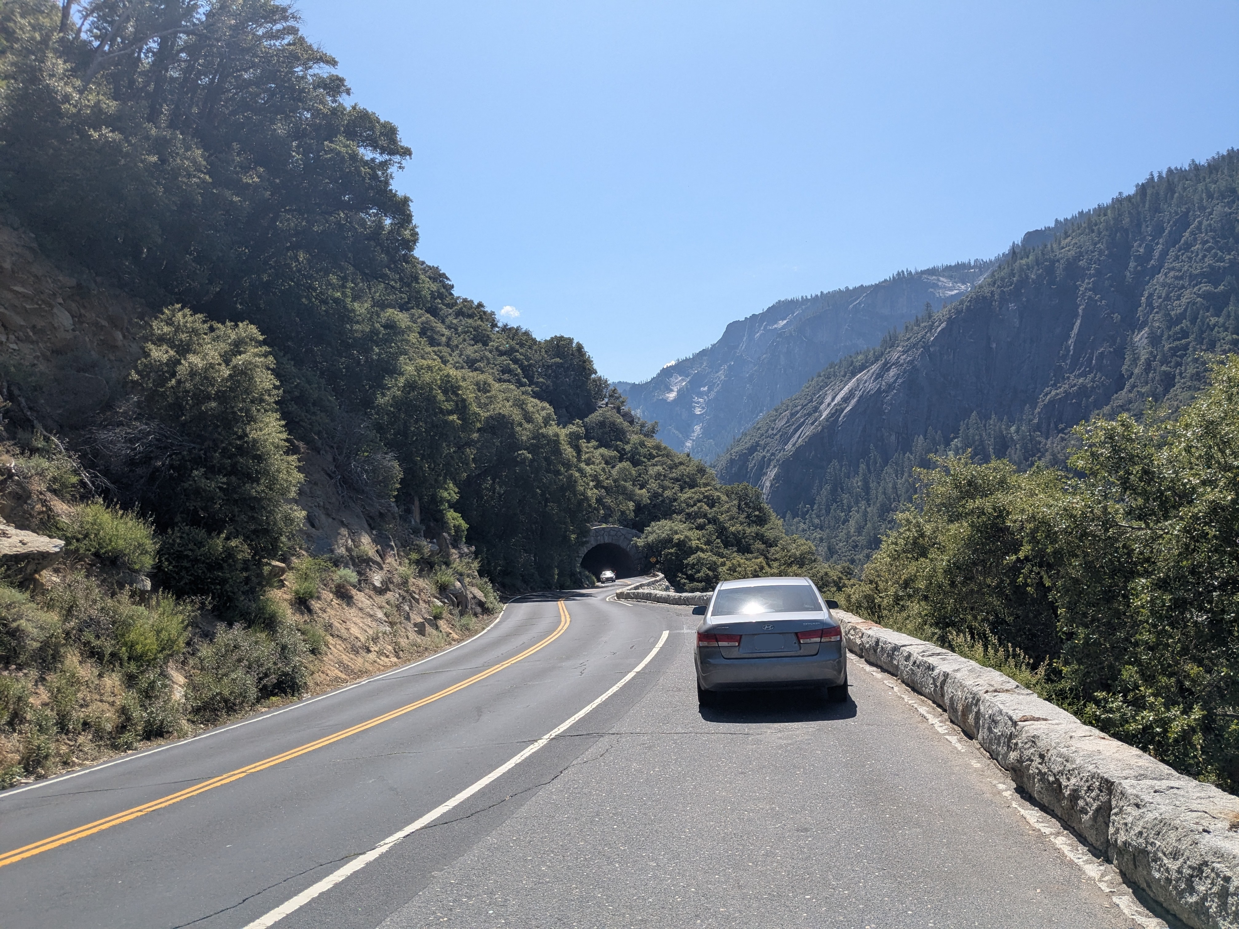
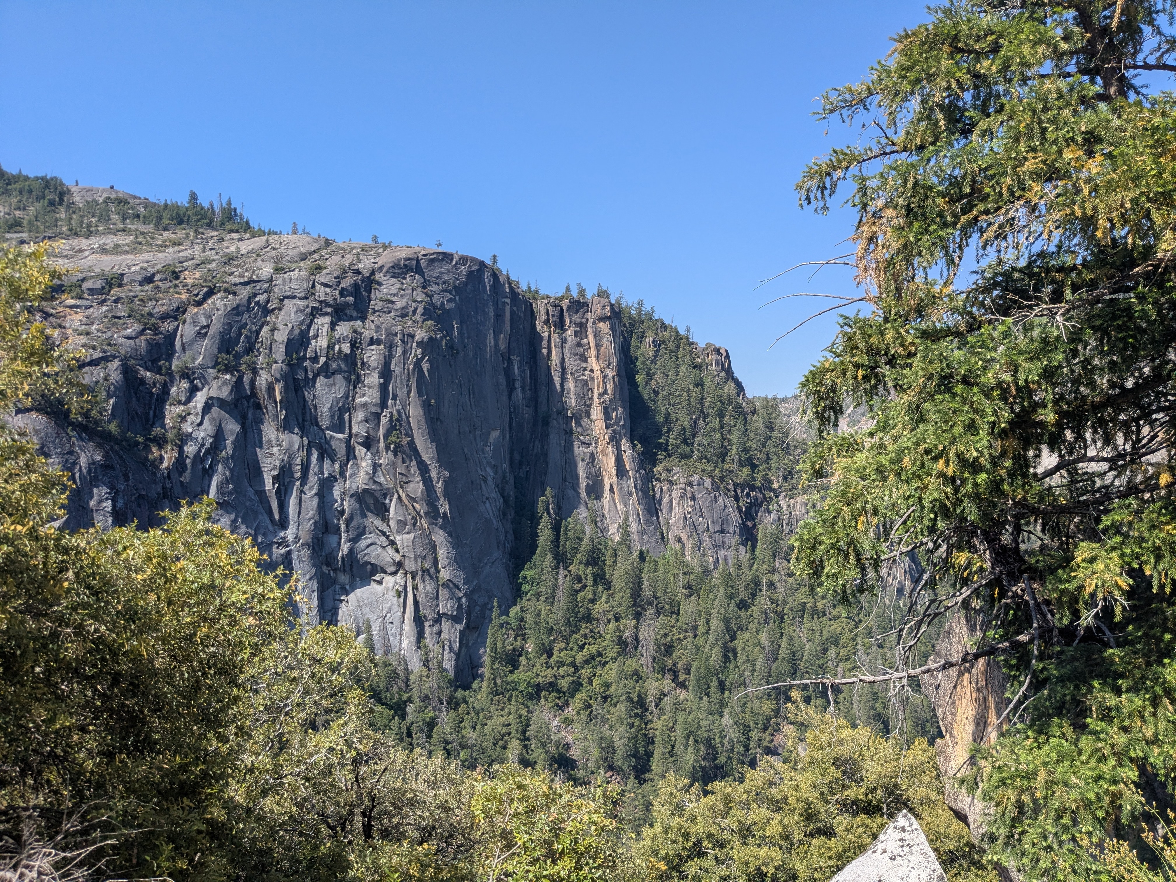
Driving in Yosemite
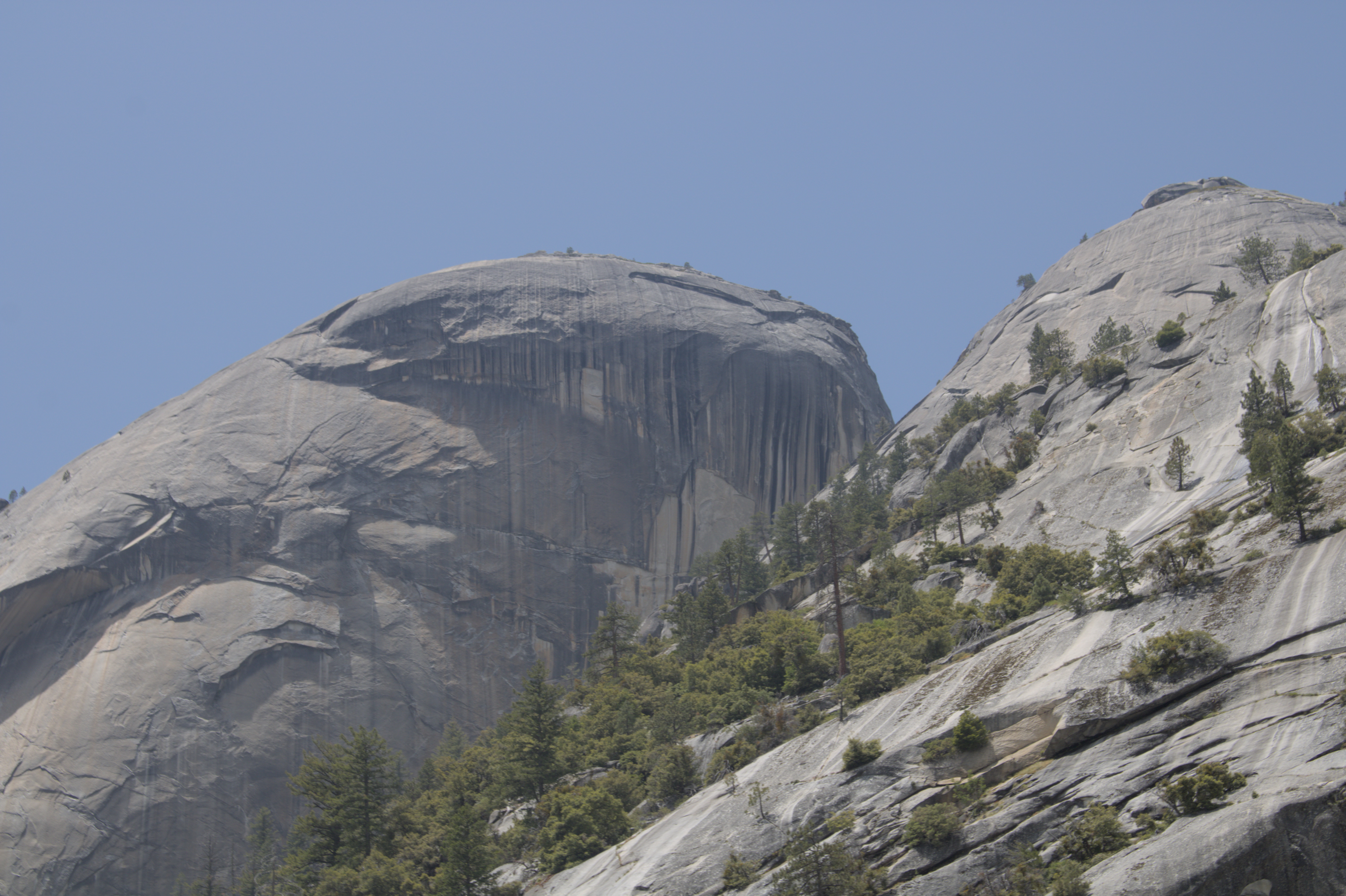
Driving in Yosemite is a rewarding experience. You’re beset by both beautiful vistas, and the implied doom of driving over the edge on the winding mountain roads.

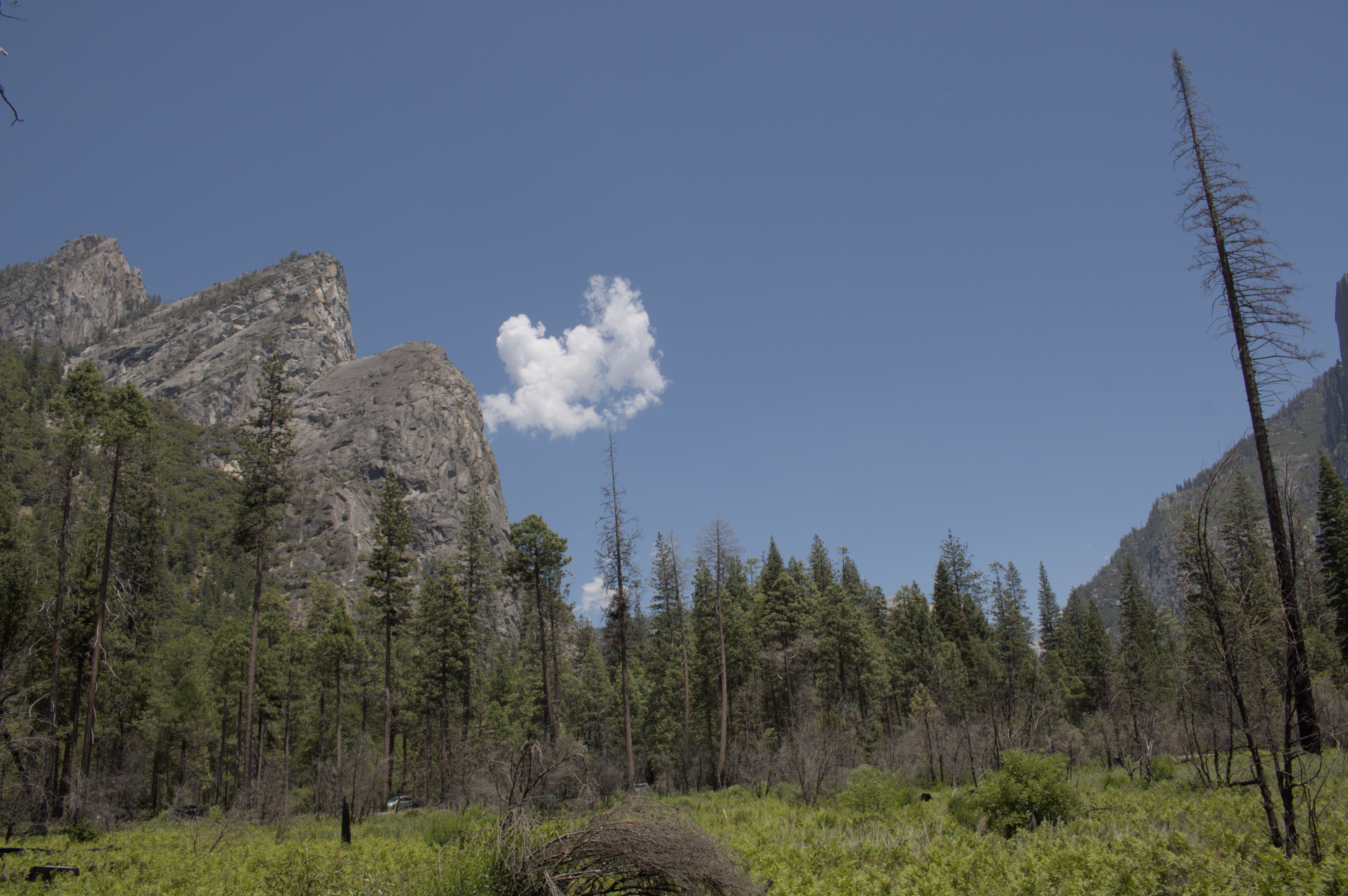
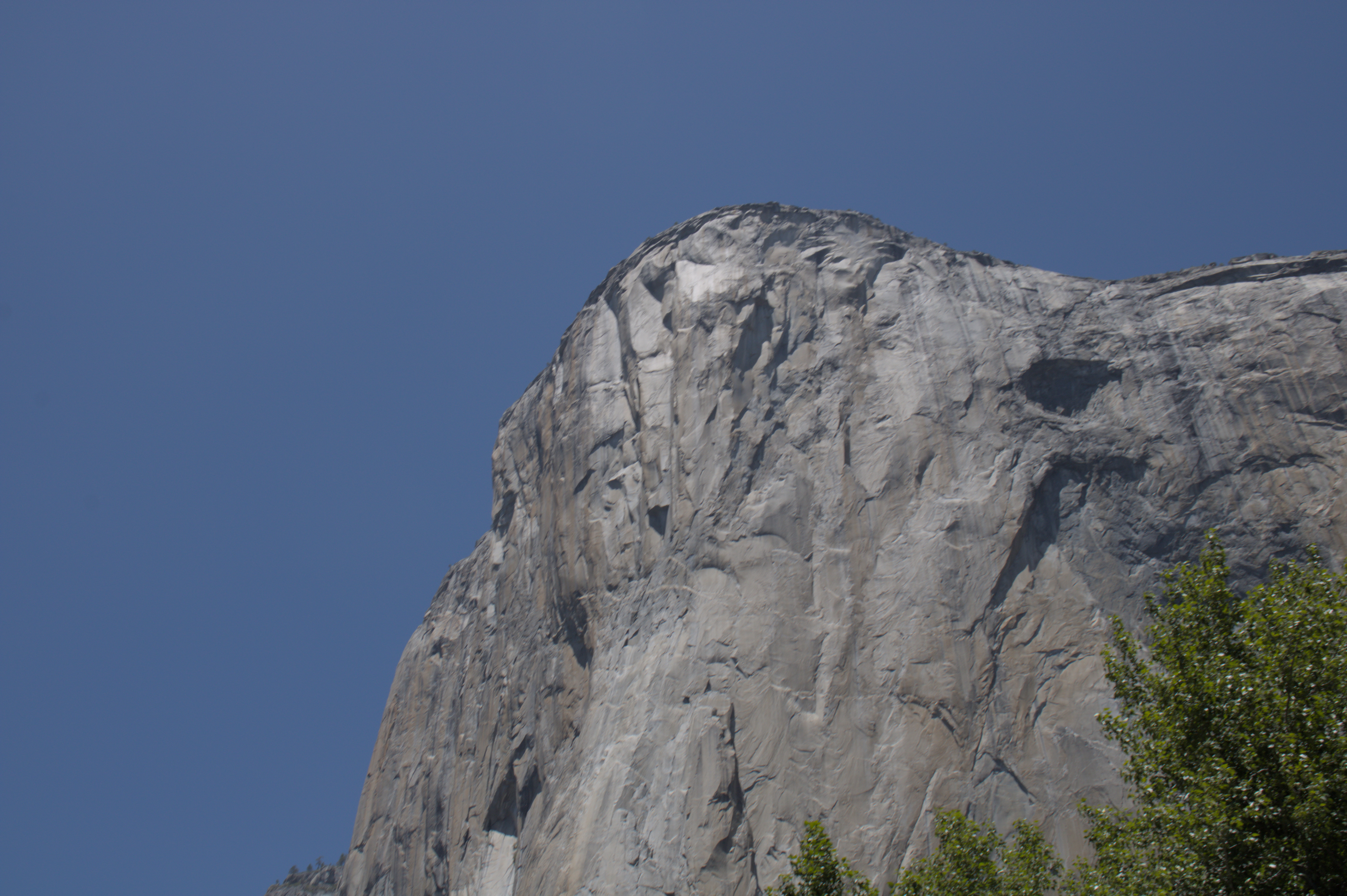
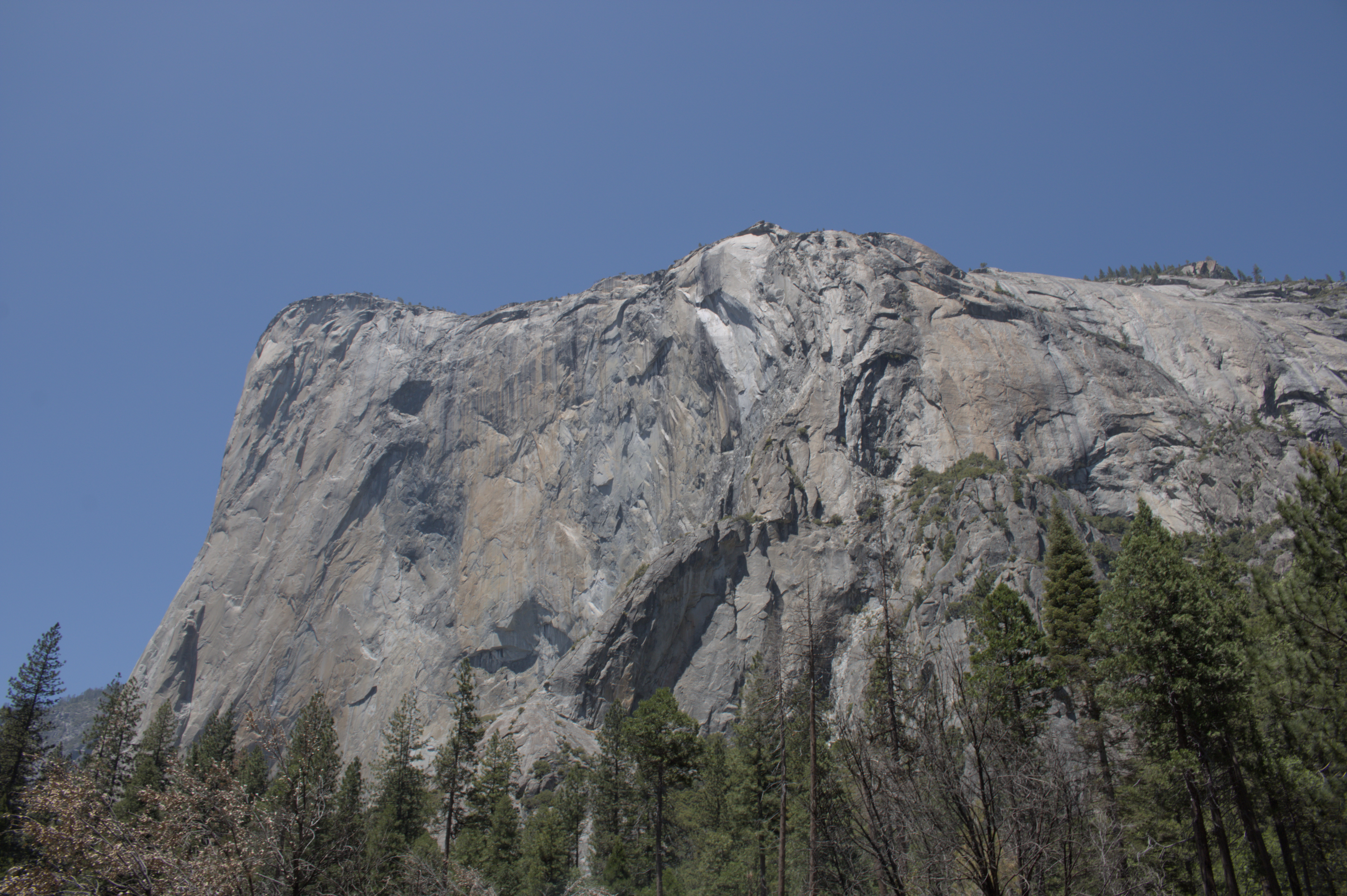
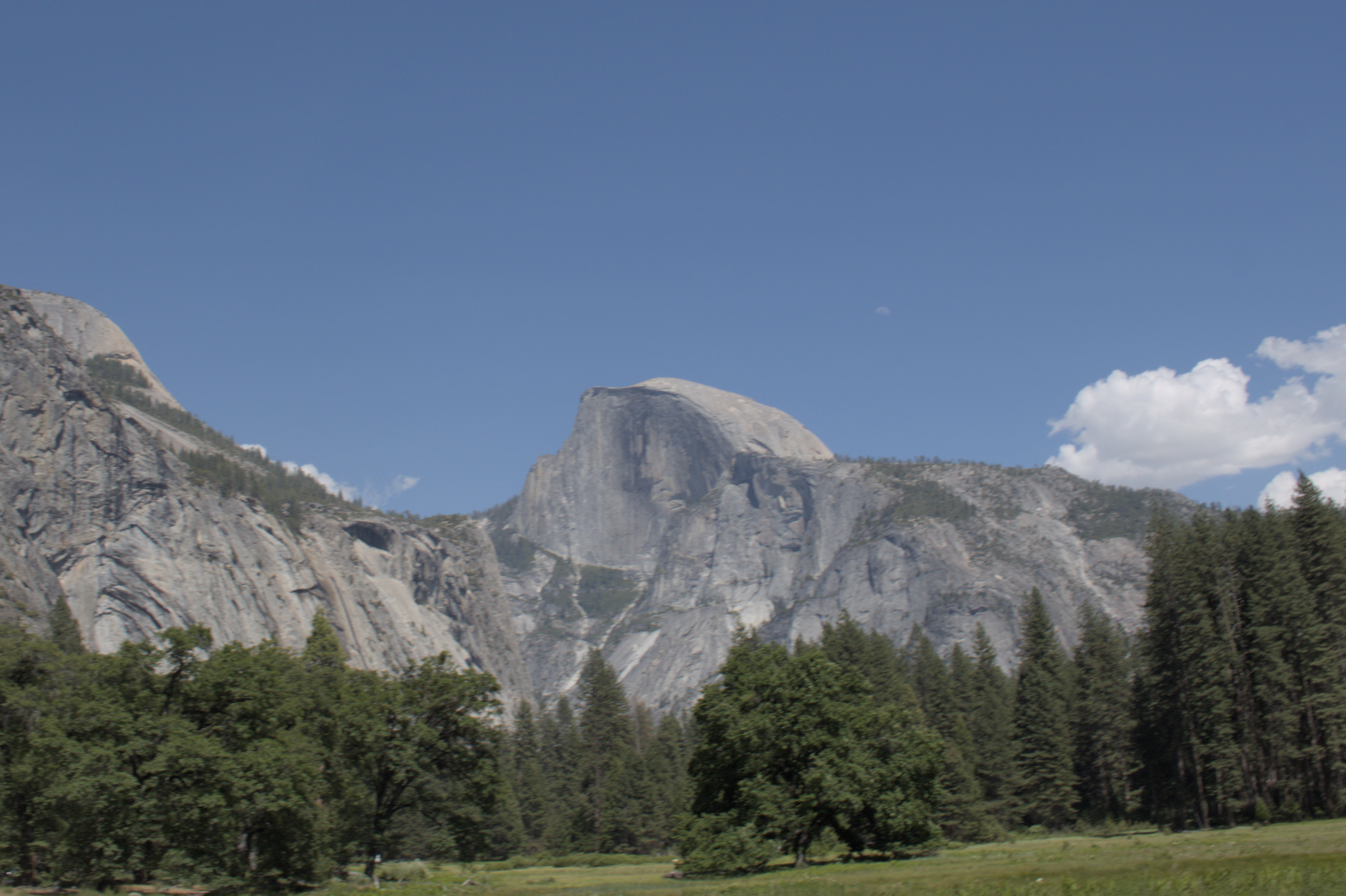
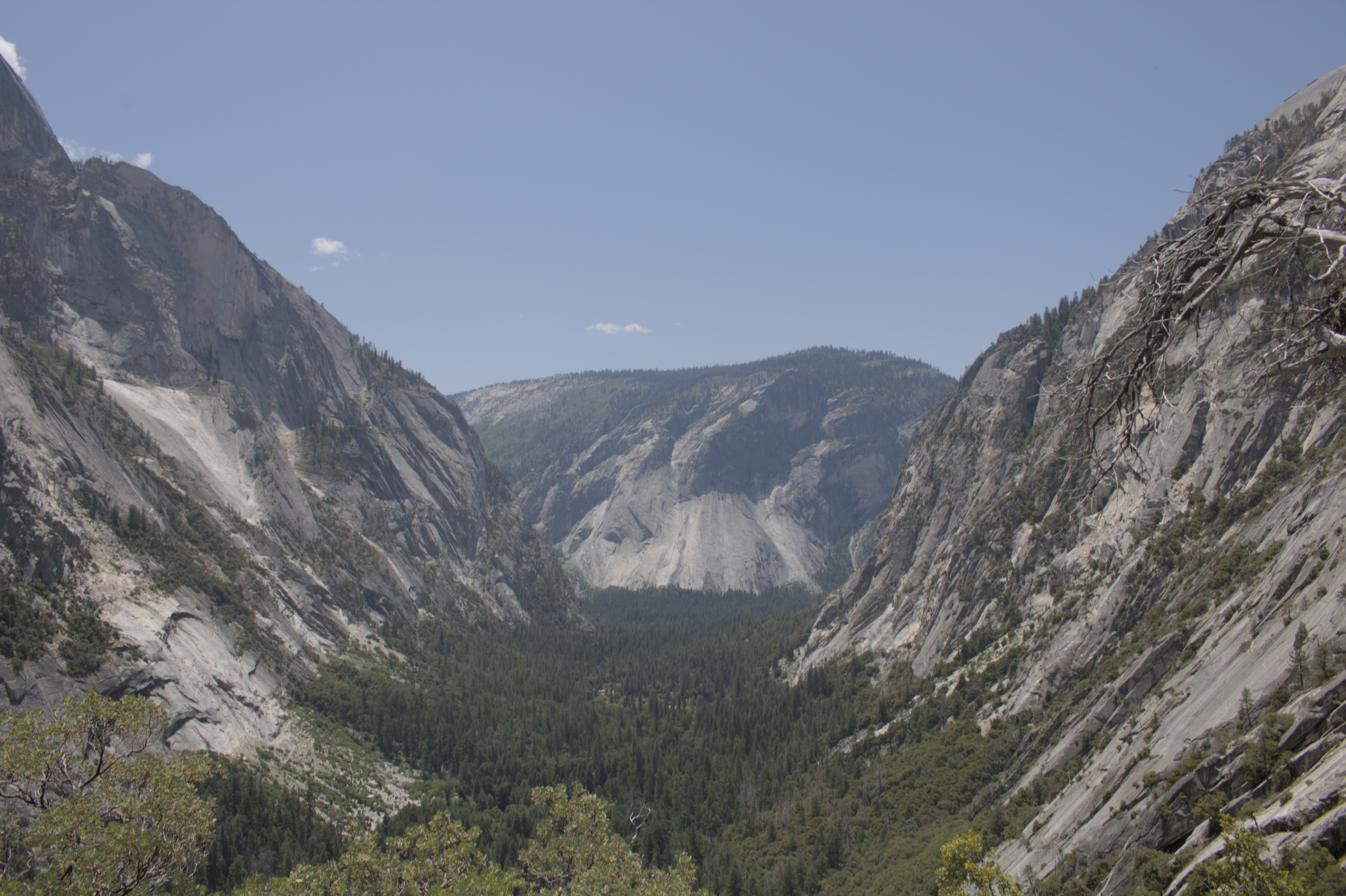
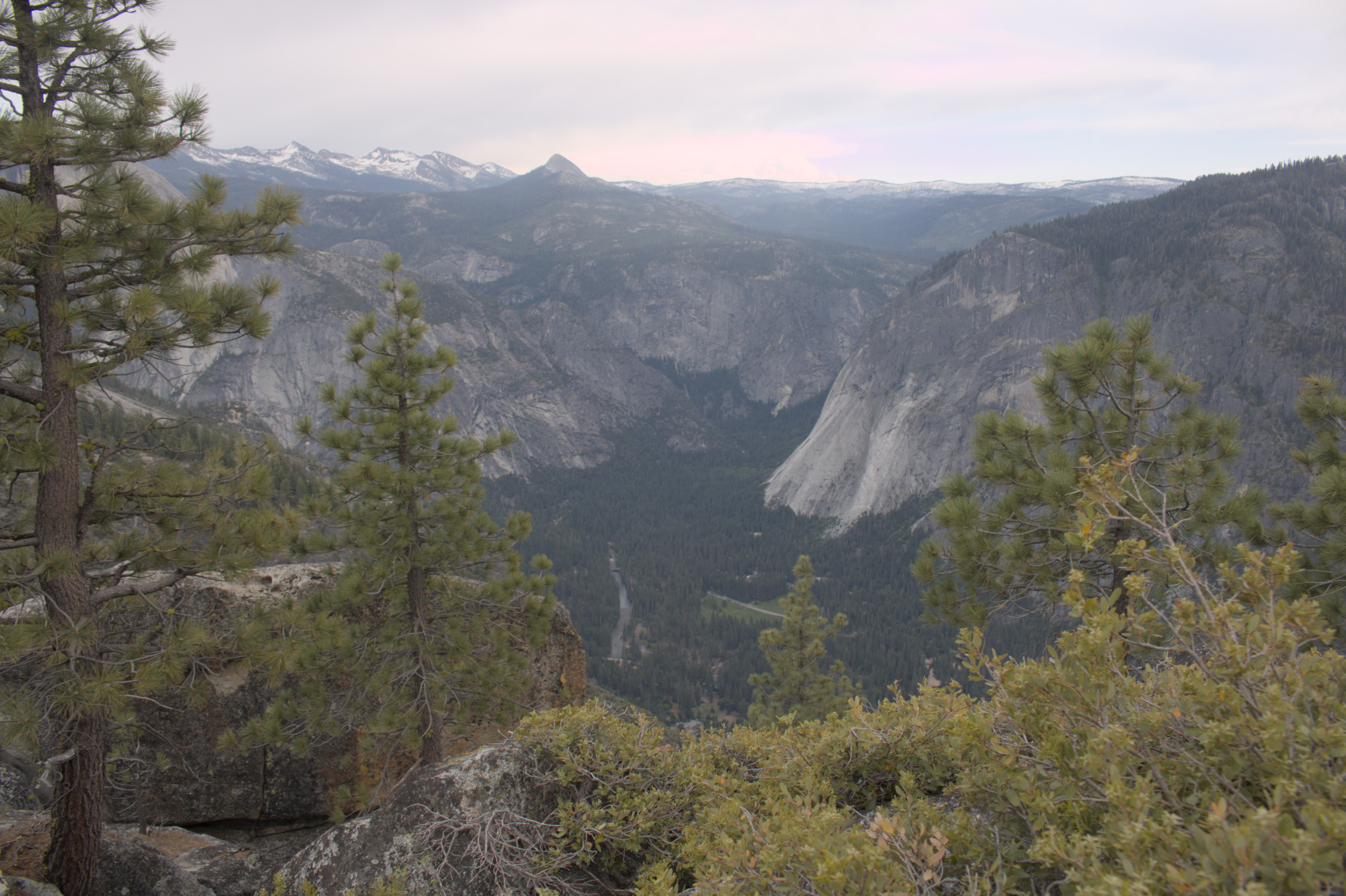
Exploring the Valley Floor
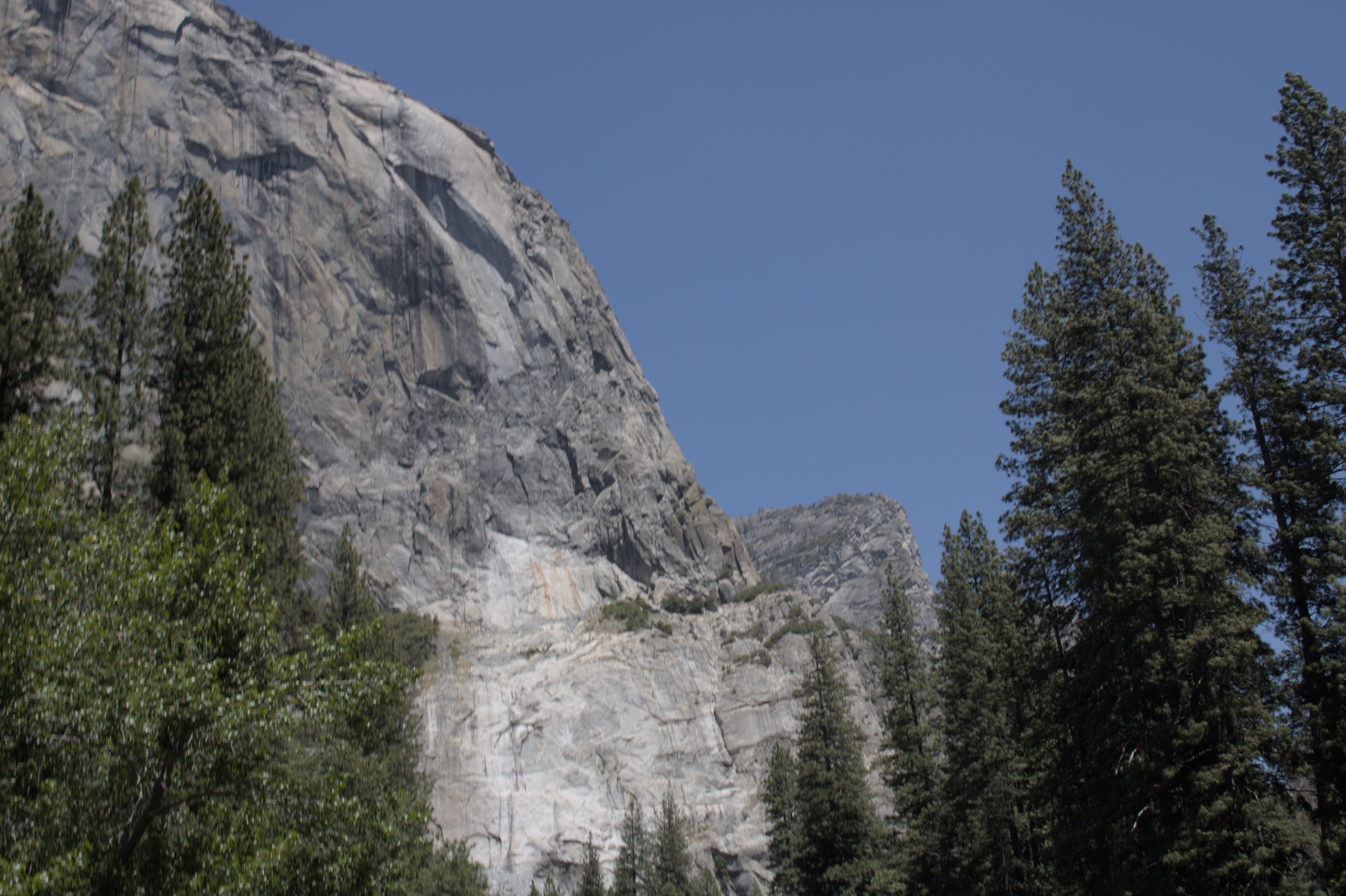
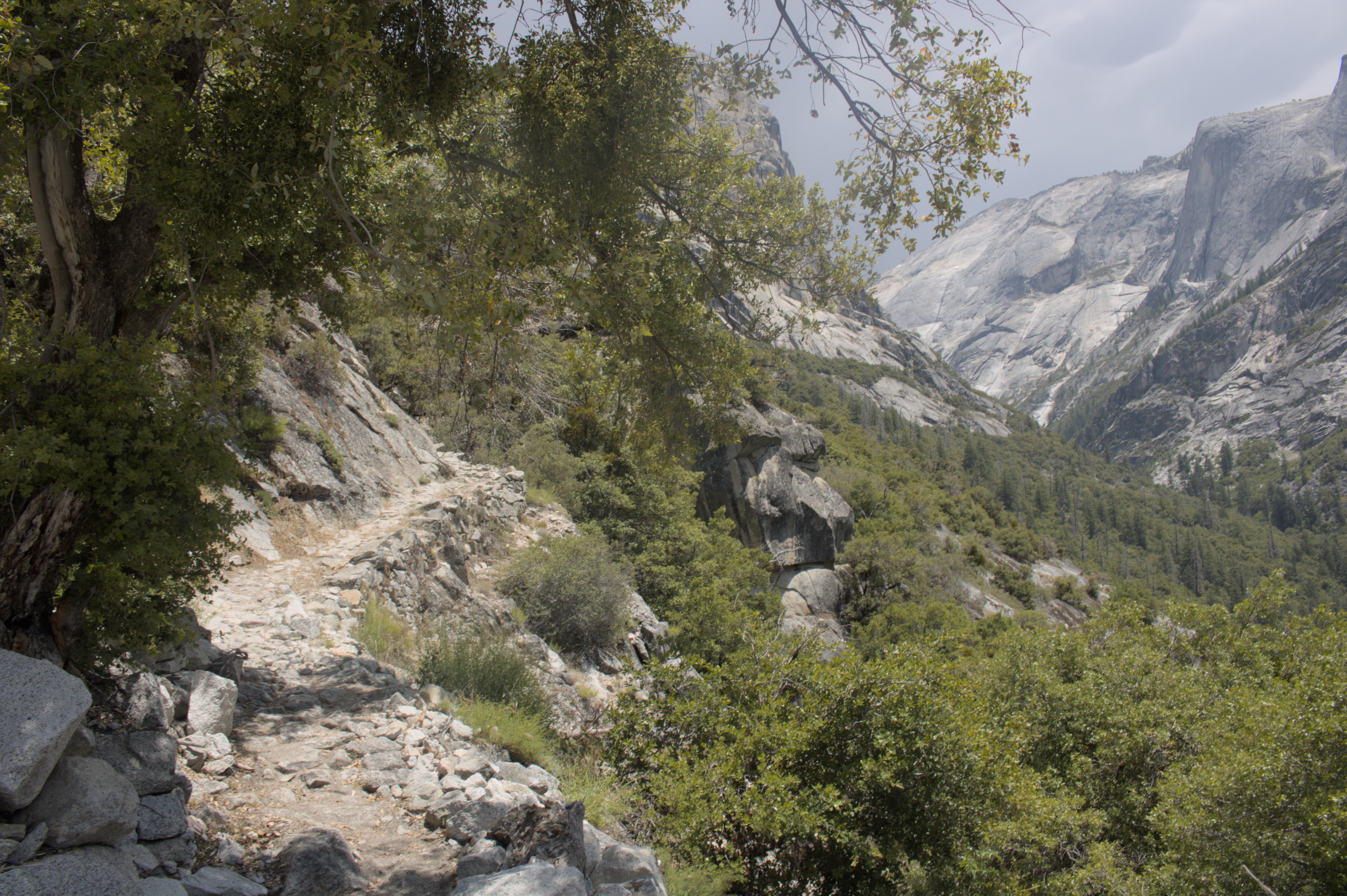
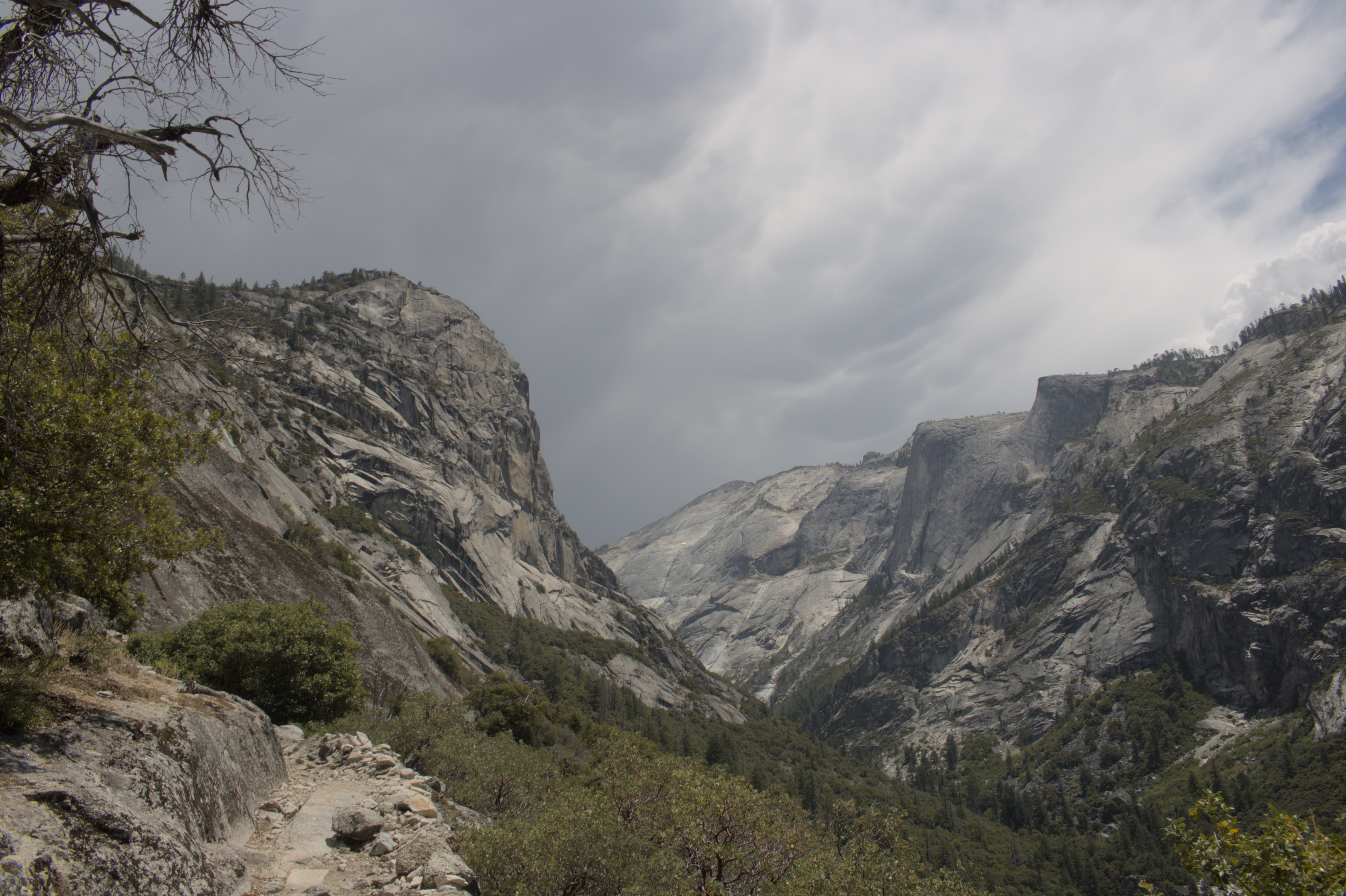
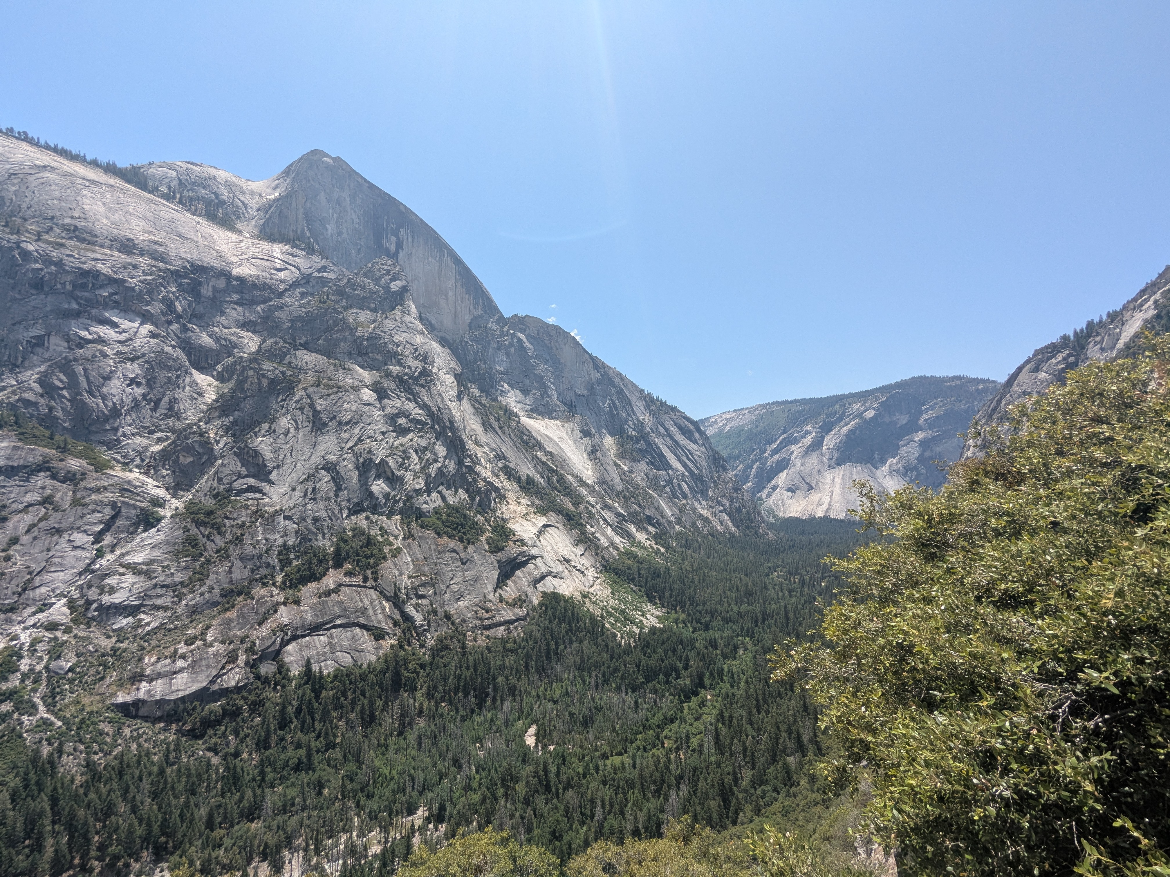
You enter Yosemite park on the valley floor, looking up to the towering granite cliffs that form the valley walls which stand two to four thousand feet above the valley floor.
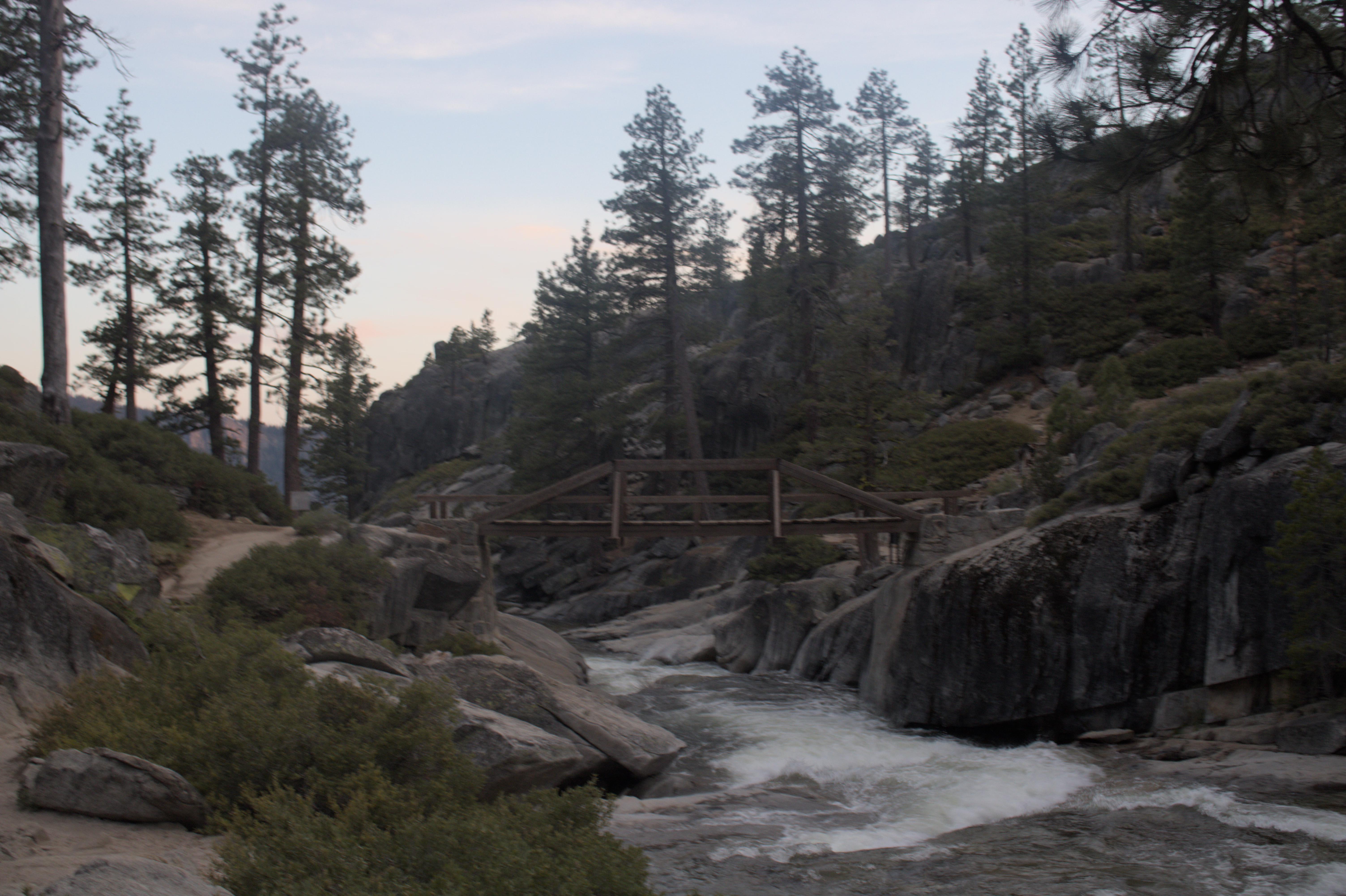
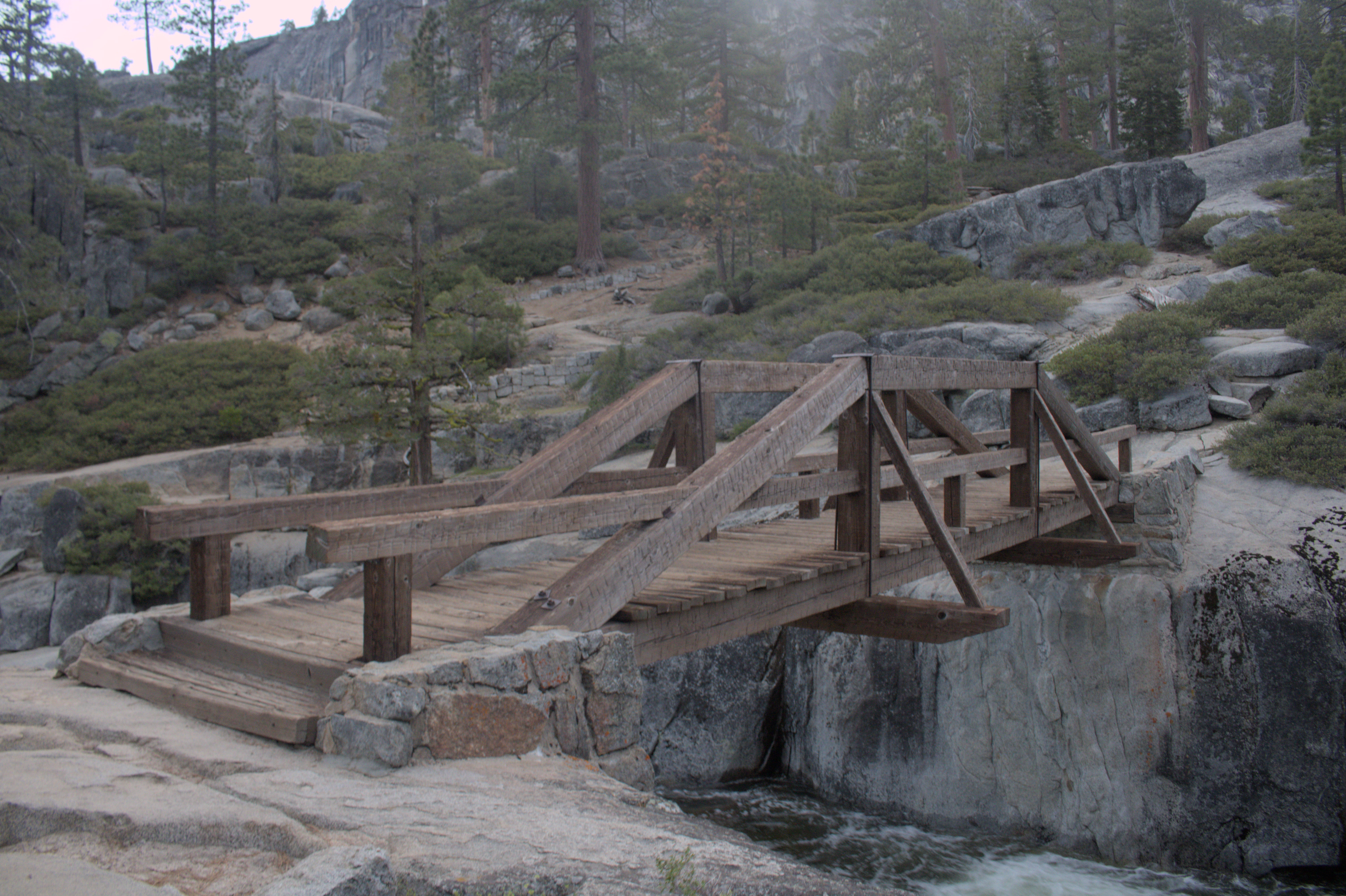
On my first day in Yosemite, I wanted to take it easy, and the park’s lower valley trails make it easy to wander and explore the most popular attractions. With parking being tight, it’s advised to use the park’s free bus system. Combined with the walking trails, it’s easy to park once and then spend a full day in Yosemite without having to worry about your car.
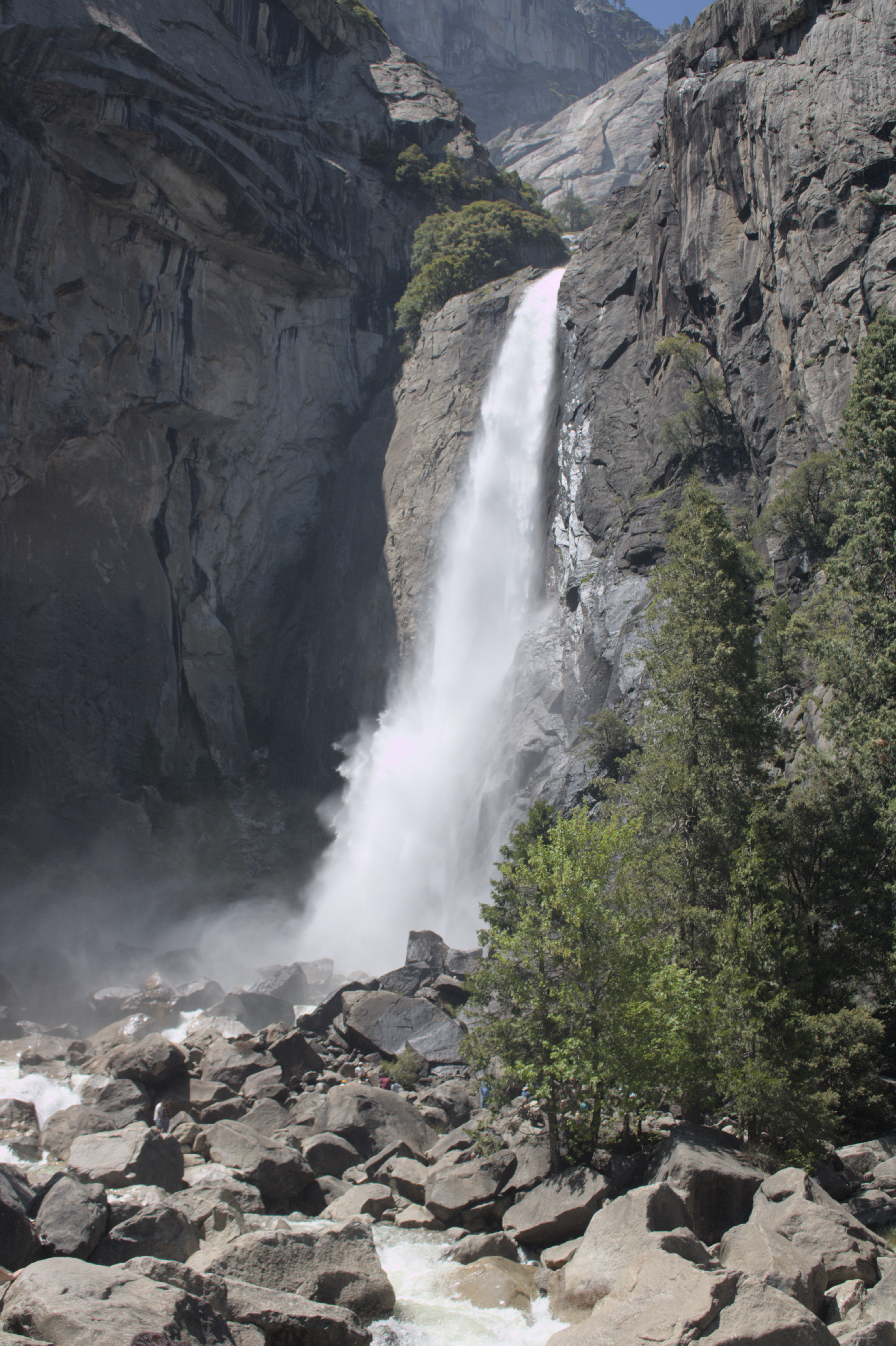
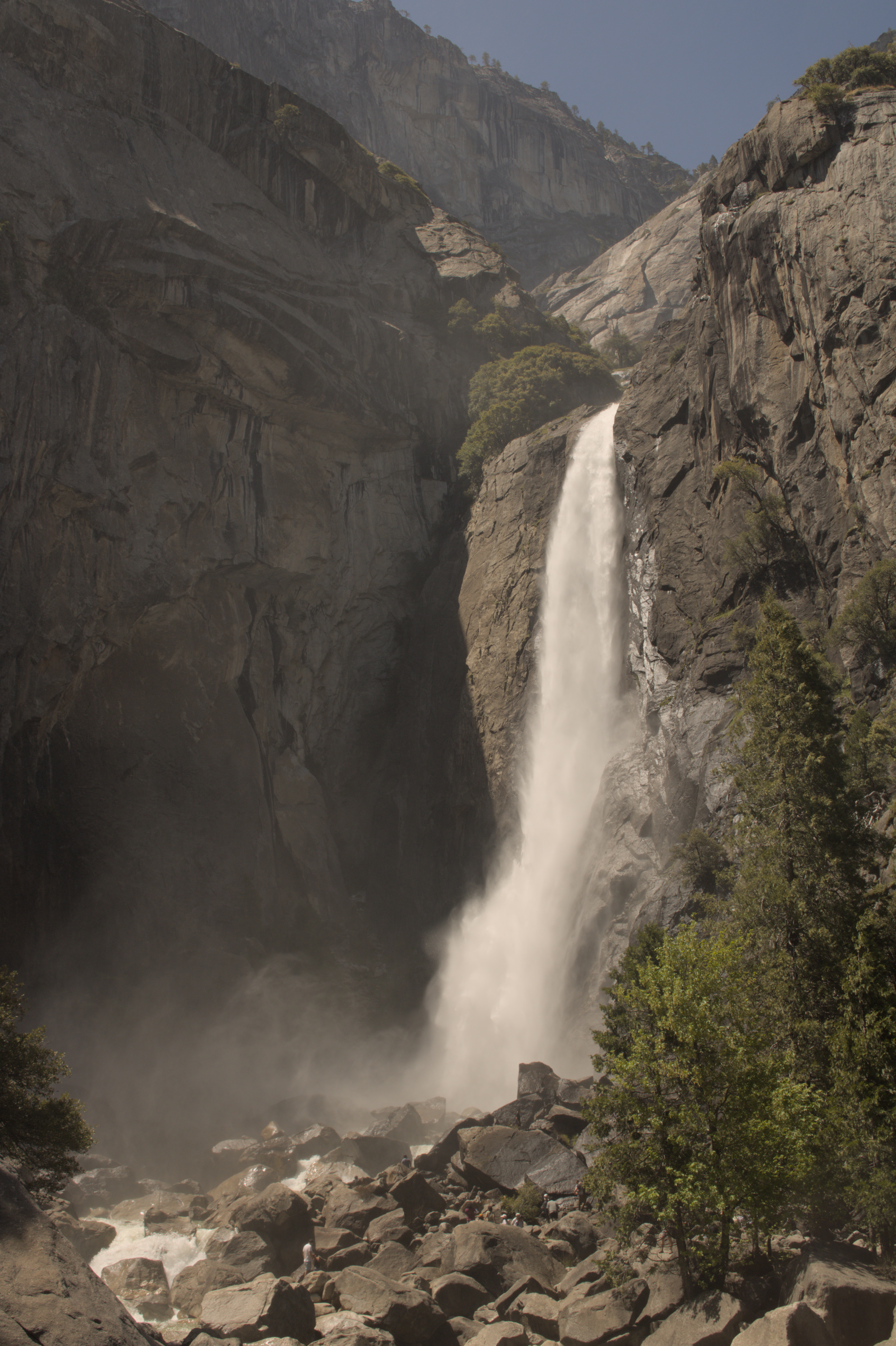
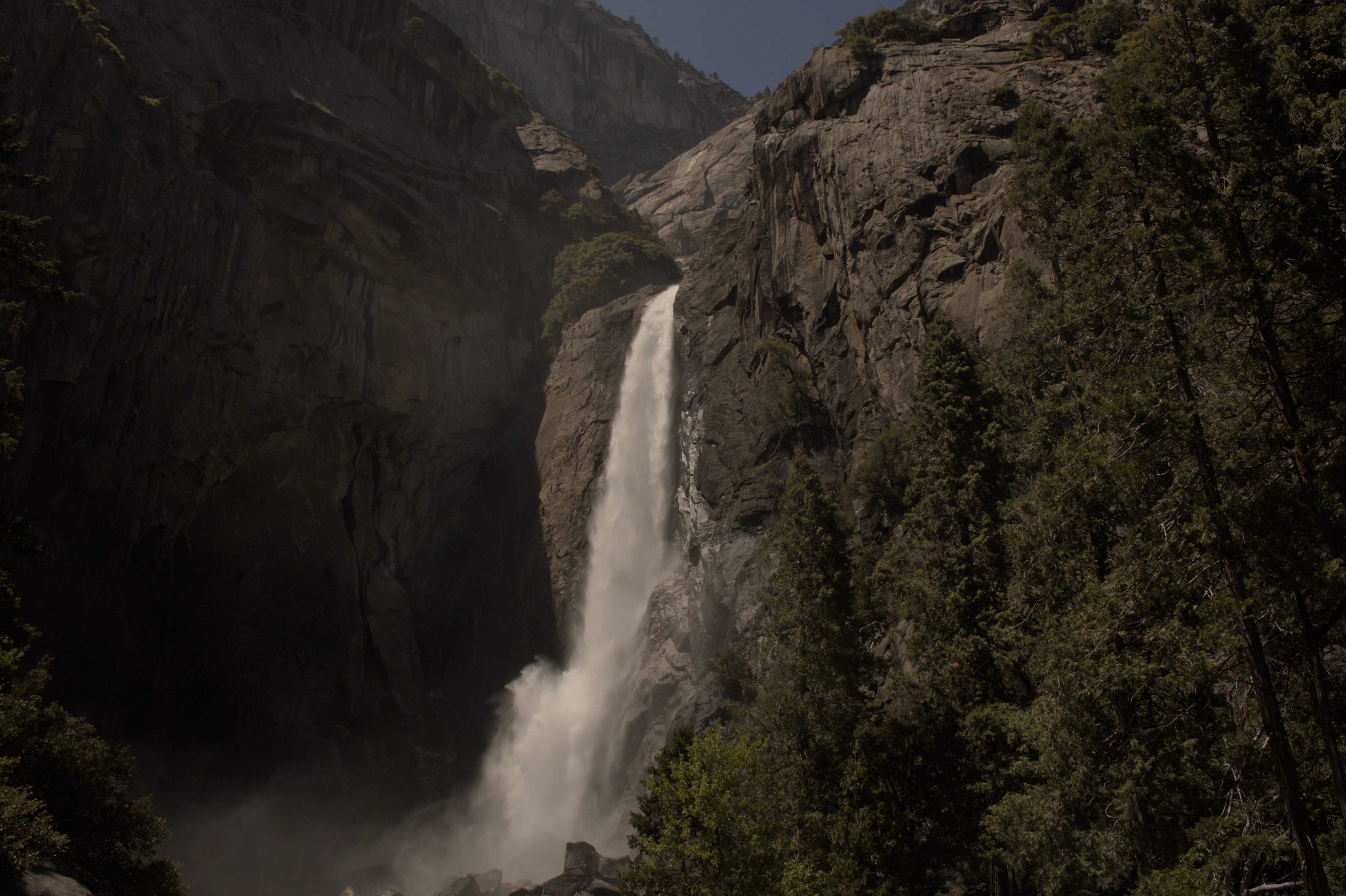
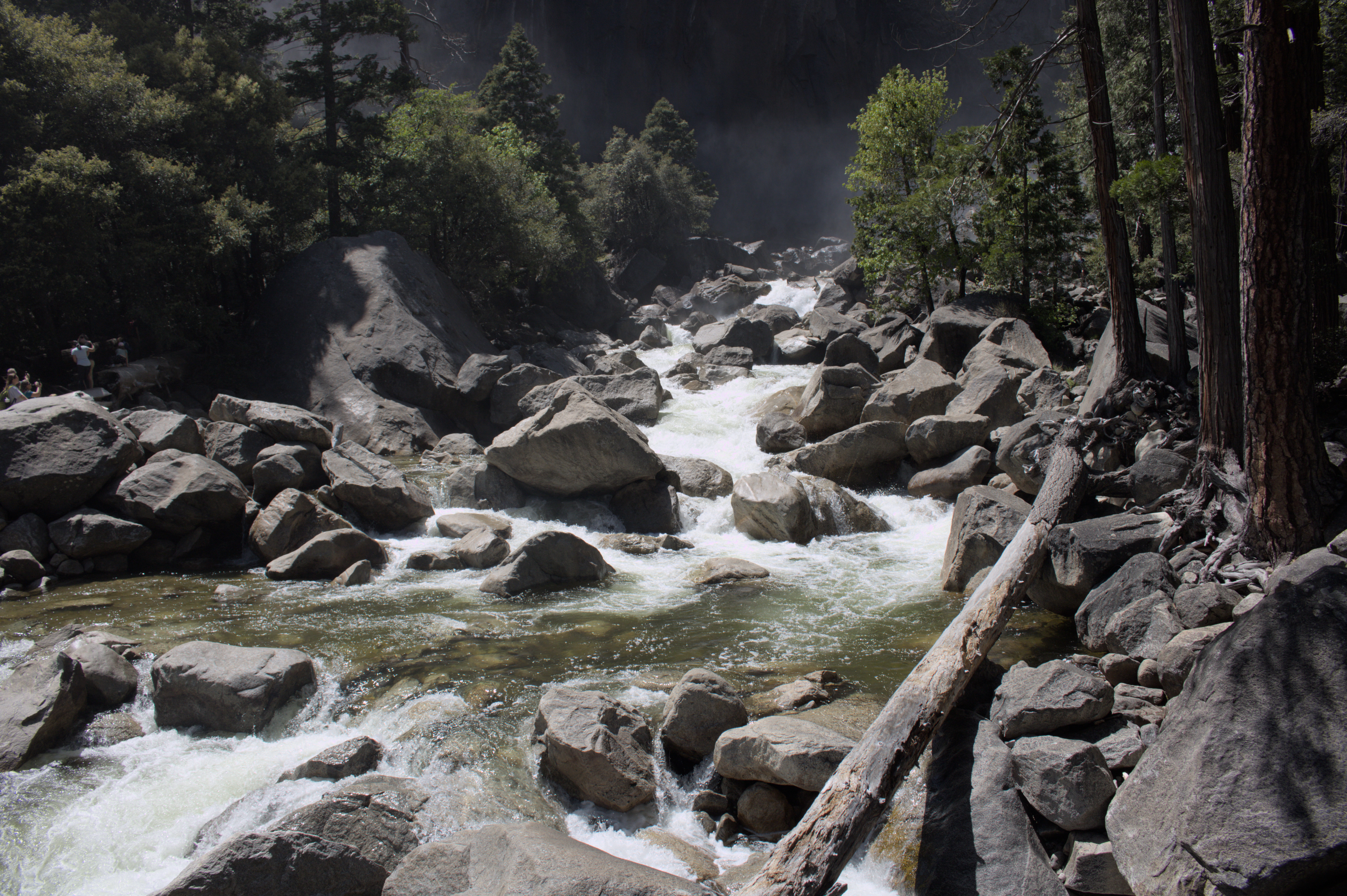
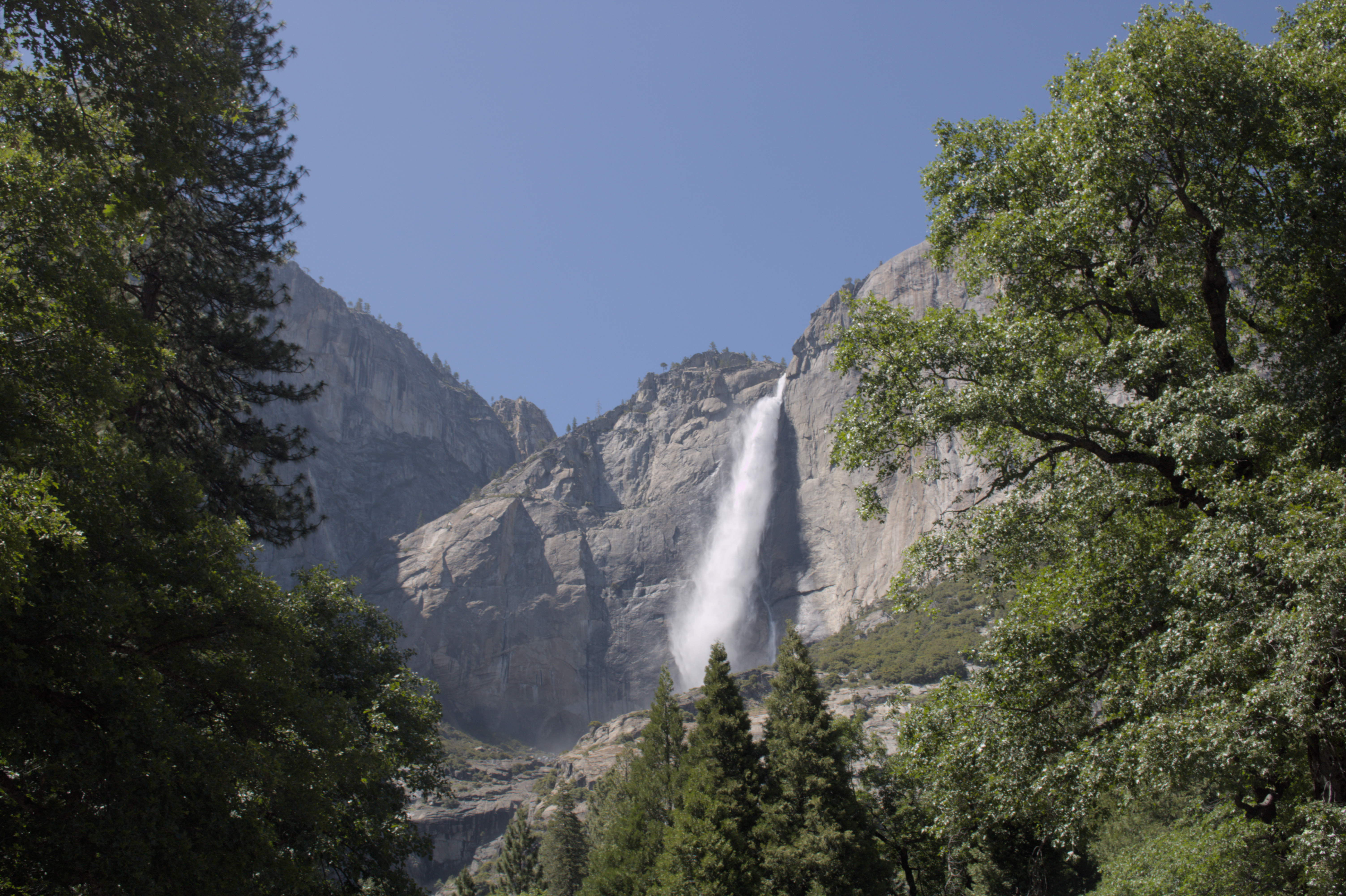
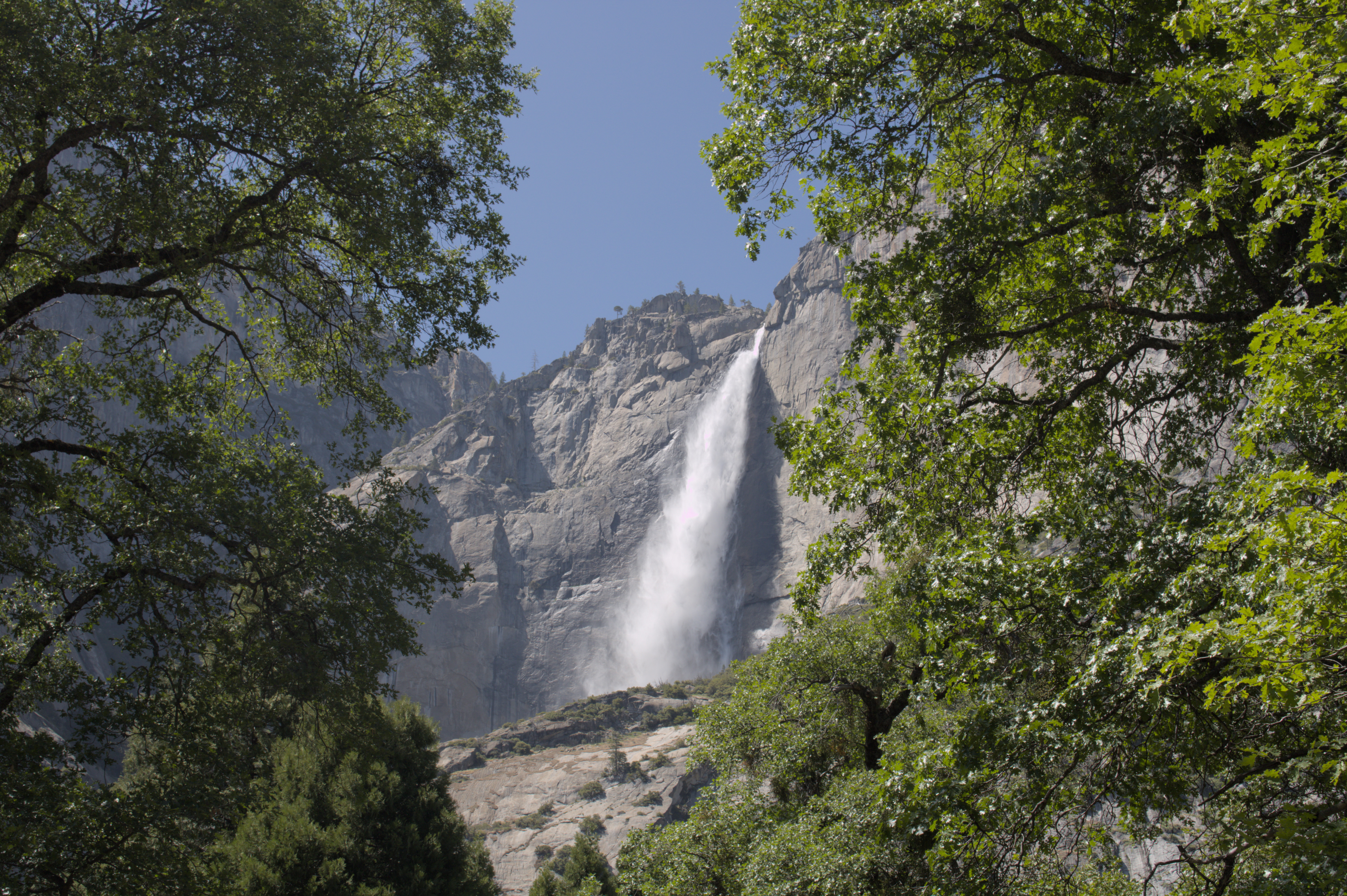
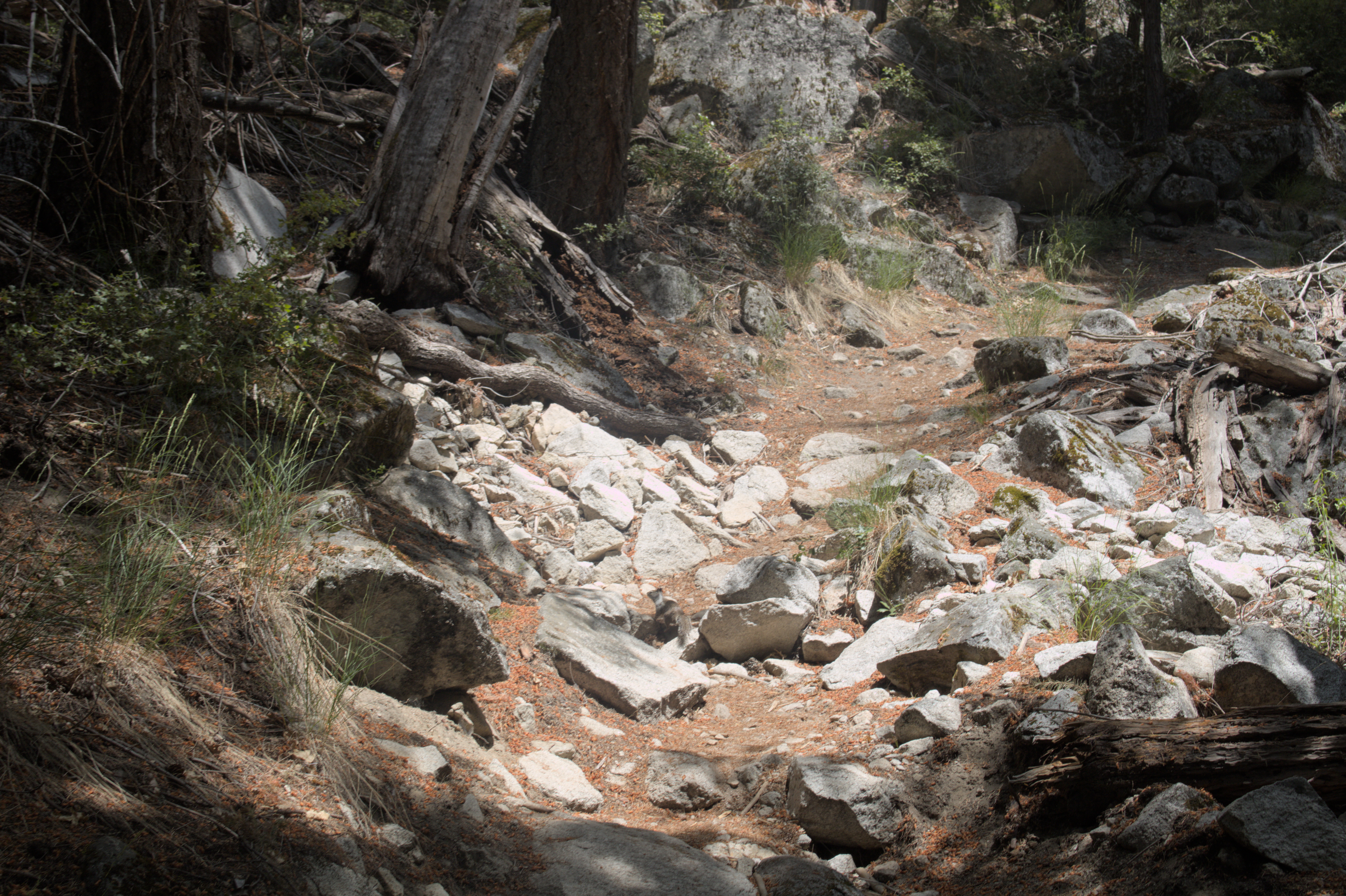
While some areas of Yosemite were very crowded, like the busses and the viewing area for the lower Yosemite falls, I found that tourist density decreased dramatically once I got on the trails. I enjoyed how easy it was to find peace and quiet in such a popular park.
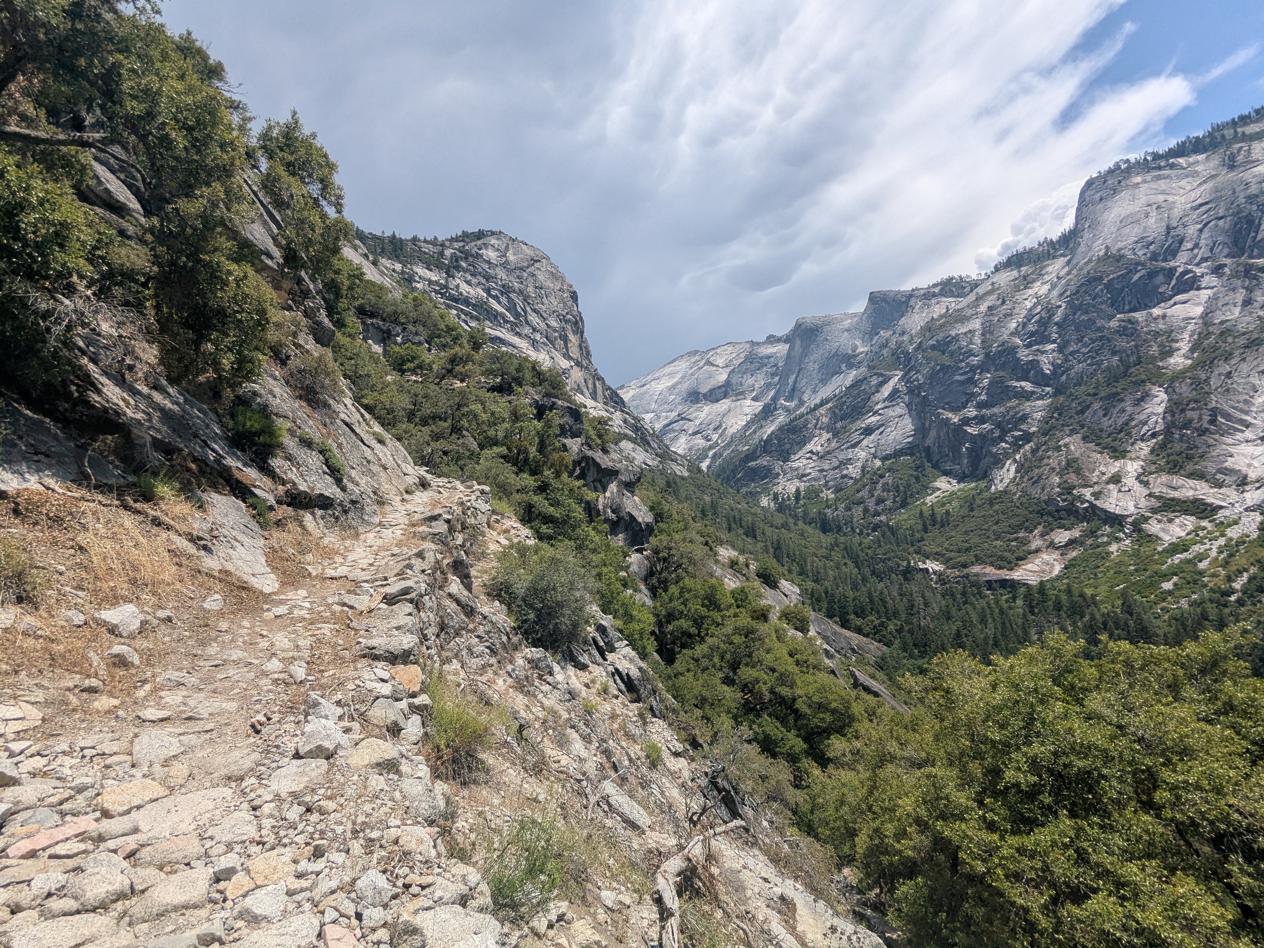
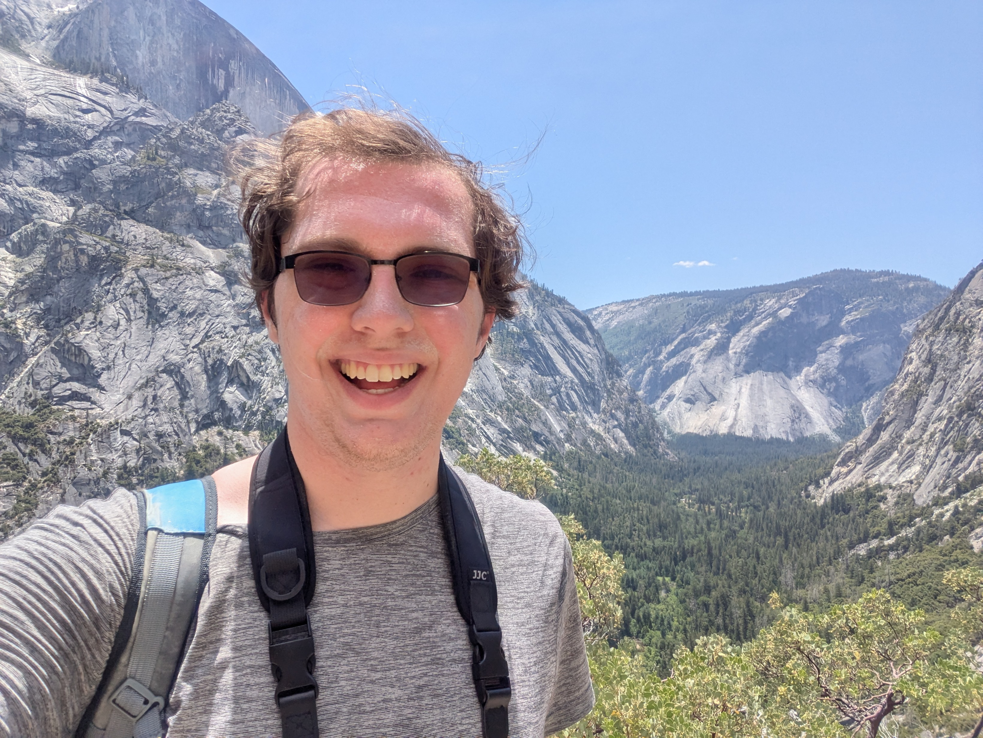
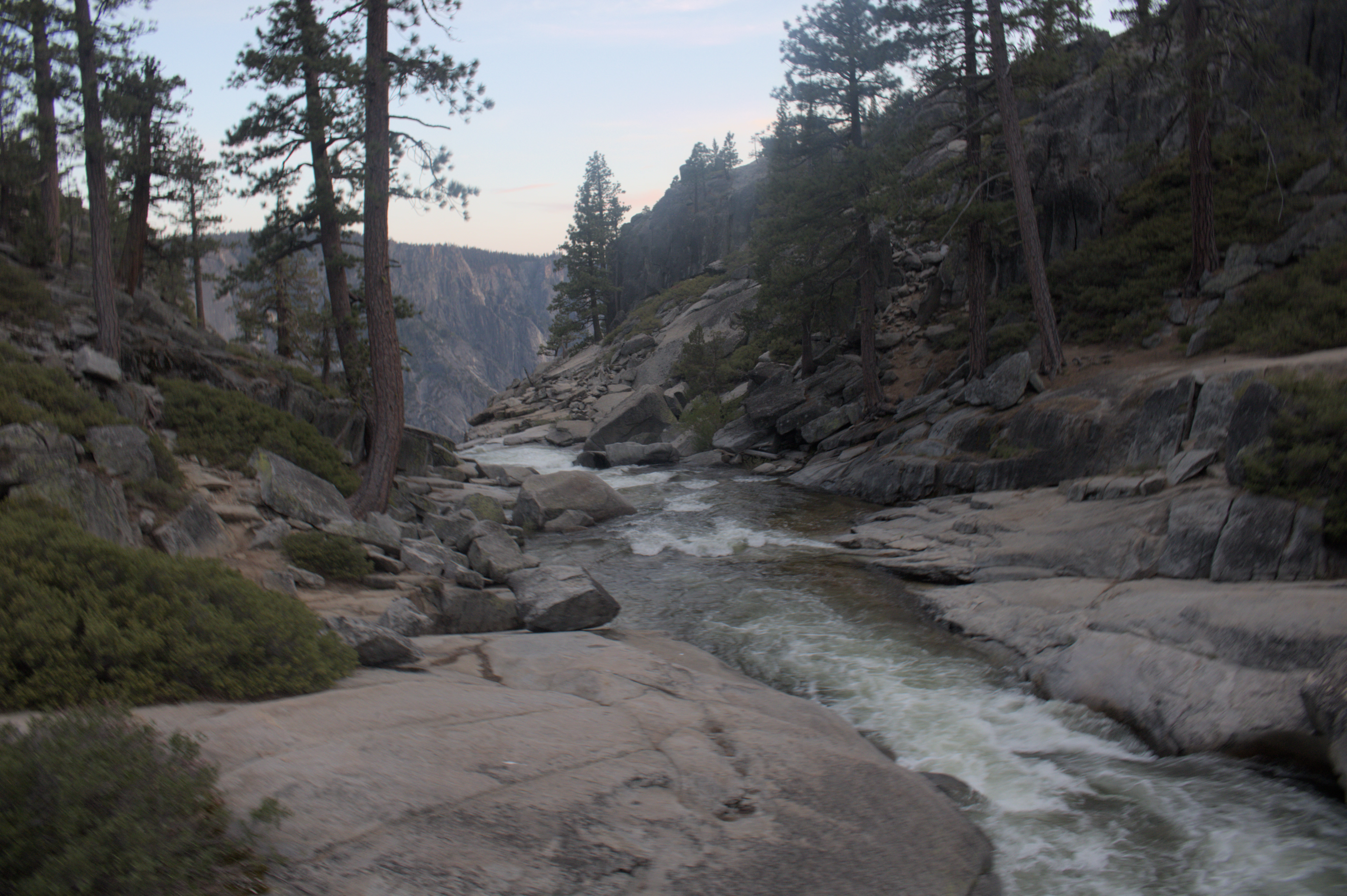
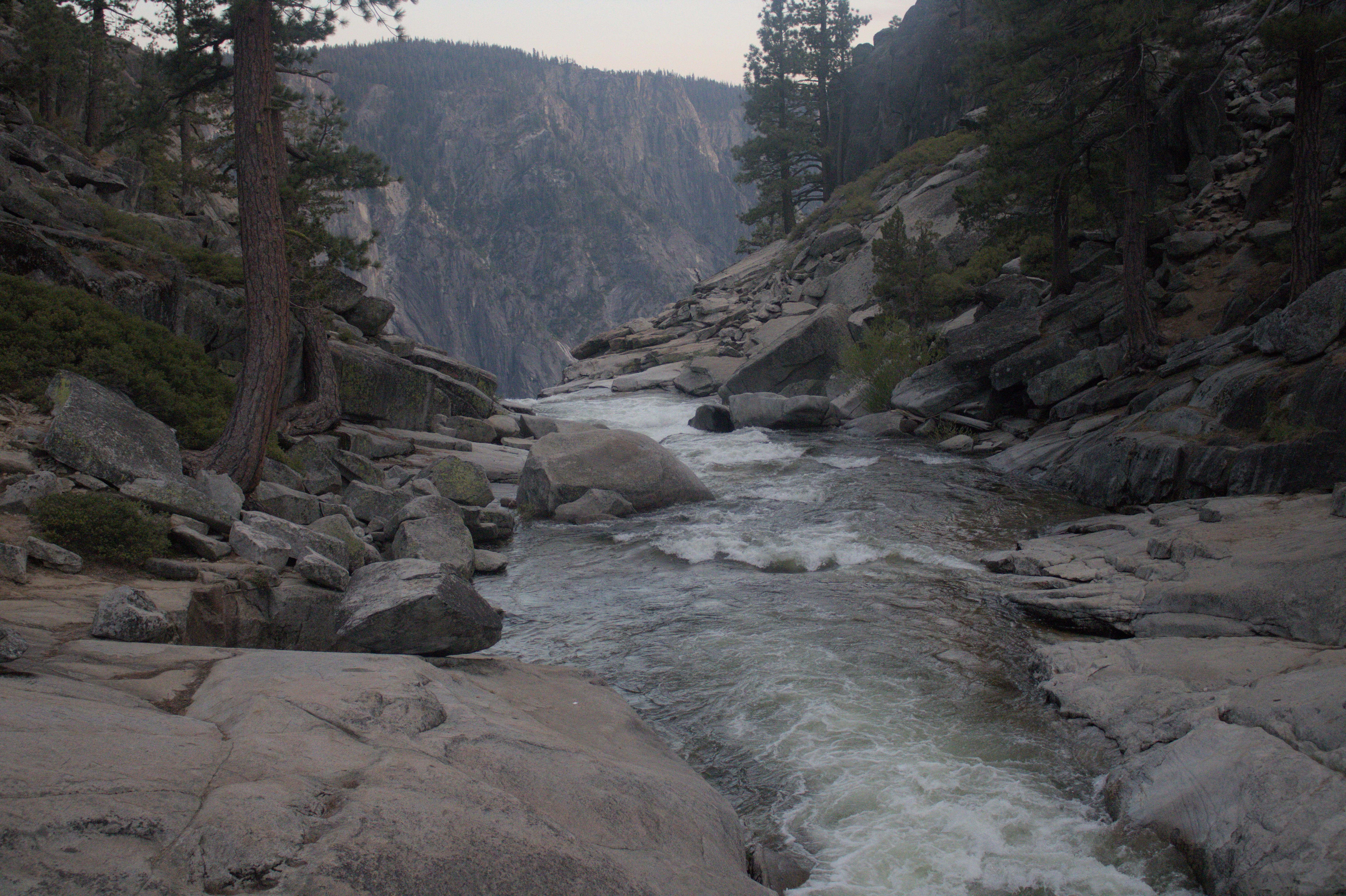
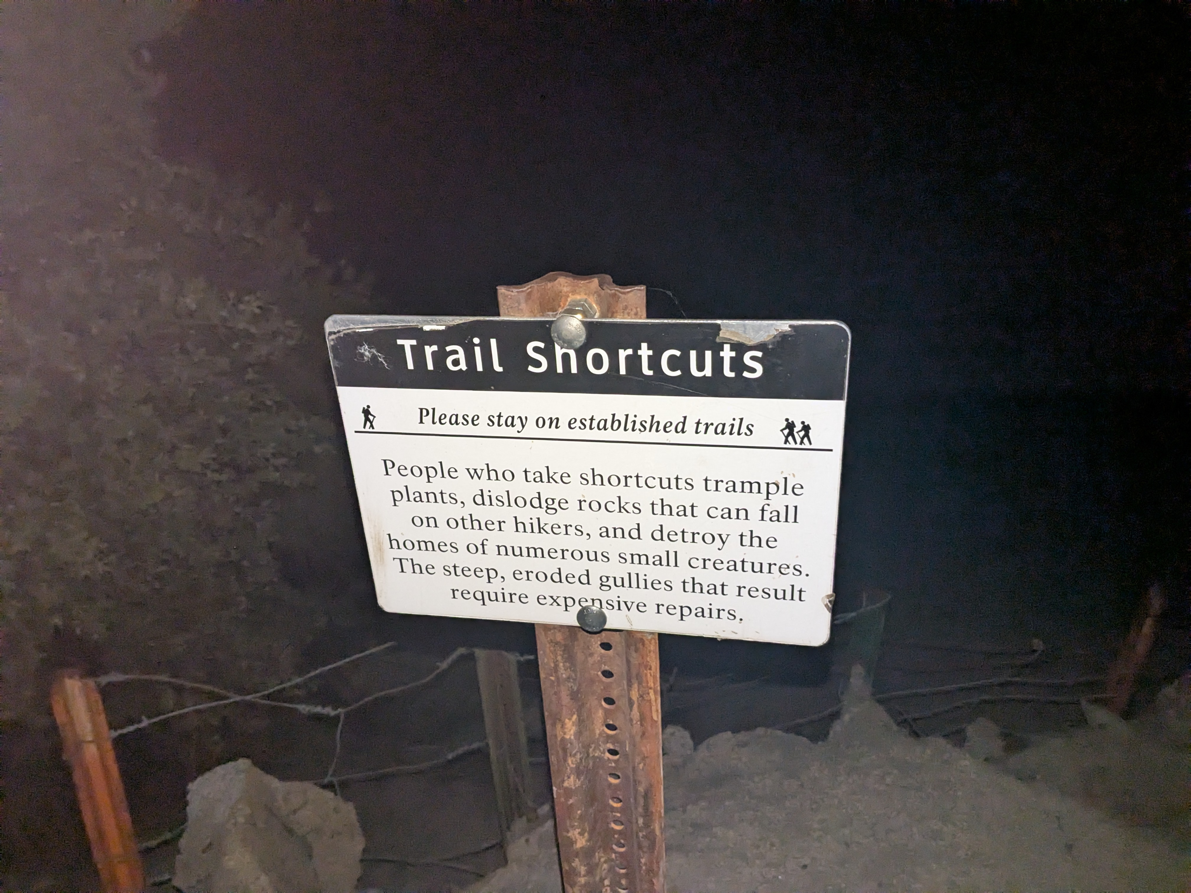
My 12 hour hike
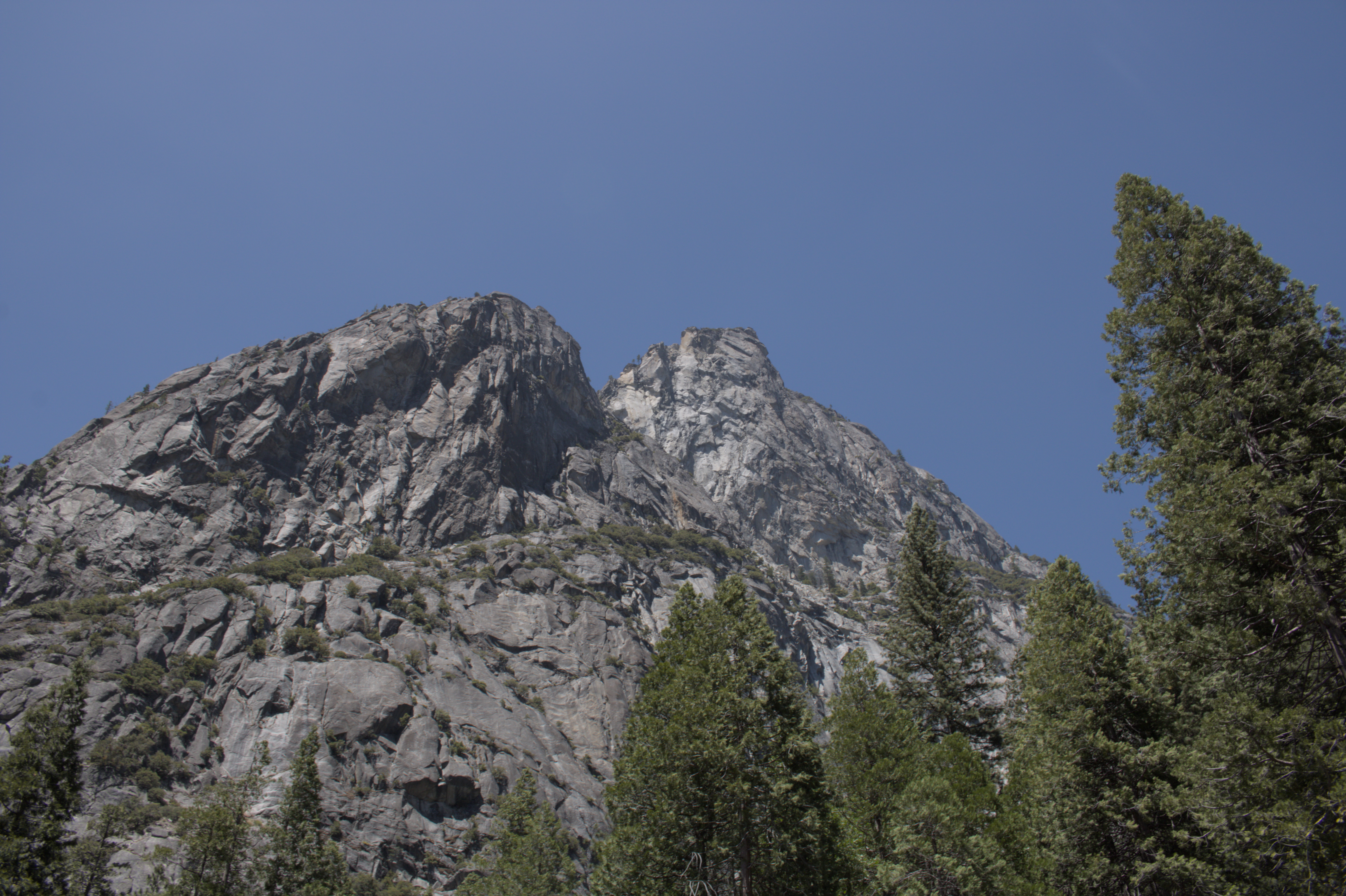
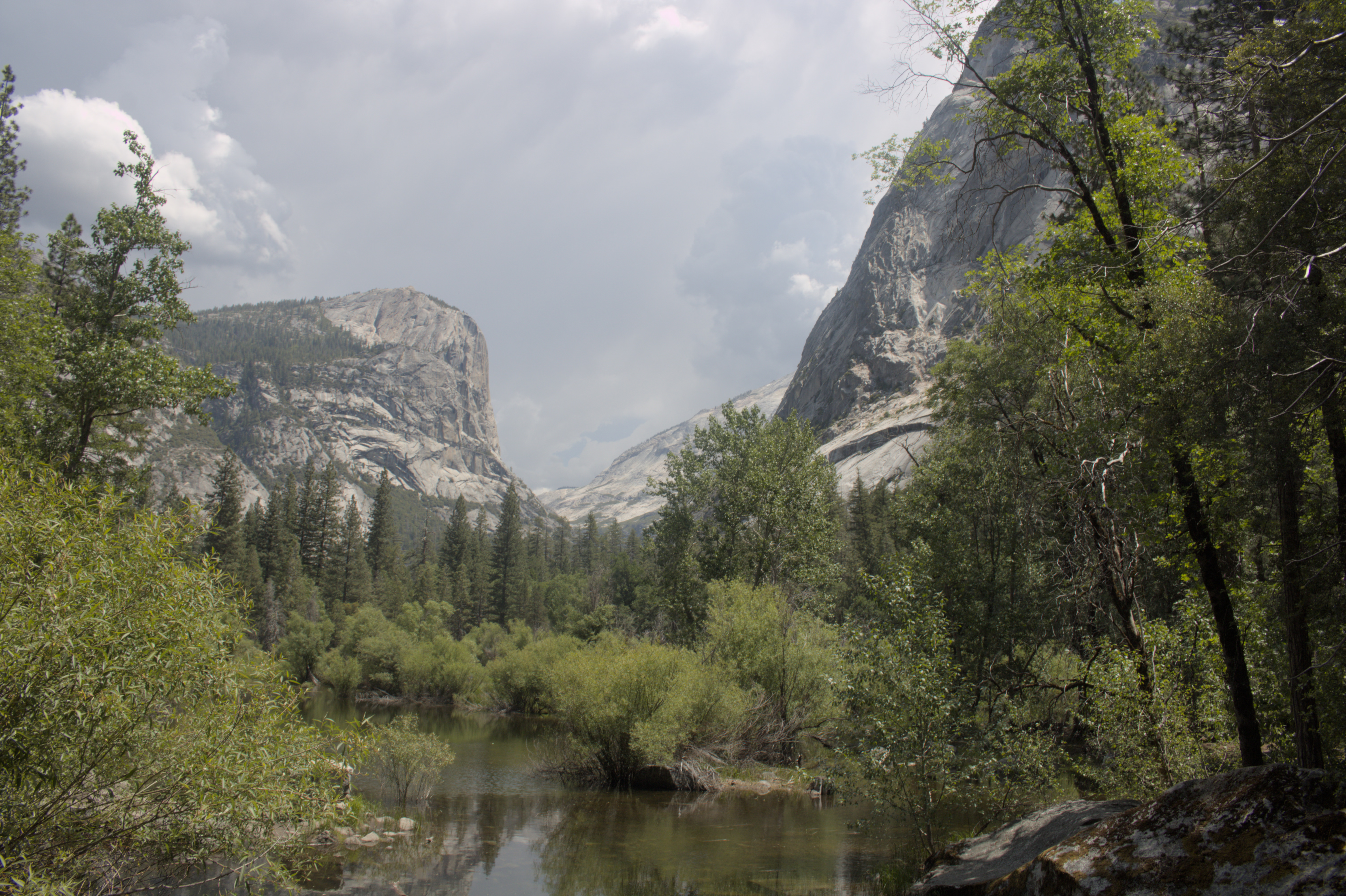
After covering the Lower Yosemite Falls, I figured it would be fun to take a day hike to enjoy the falls from above! So, I planned out the following hike, up around the North Dome and Indian Rock, finishing off with a view from Upper Yosemite Falls. I figured that the hike would be around 8 miles. I planned to keep a 2mph pace, and finish in 4 hours. Obviously that didn’t happen.
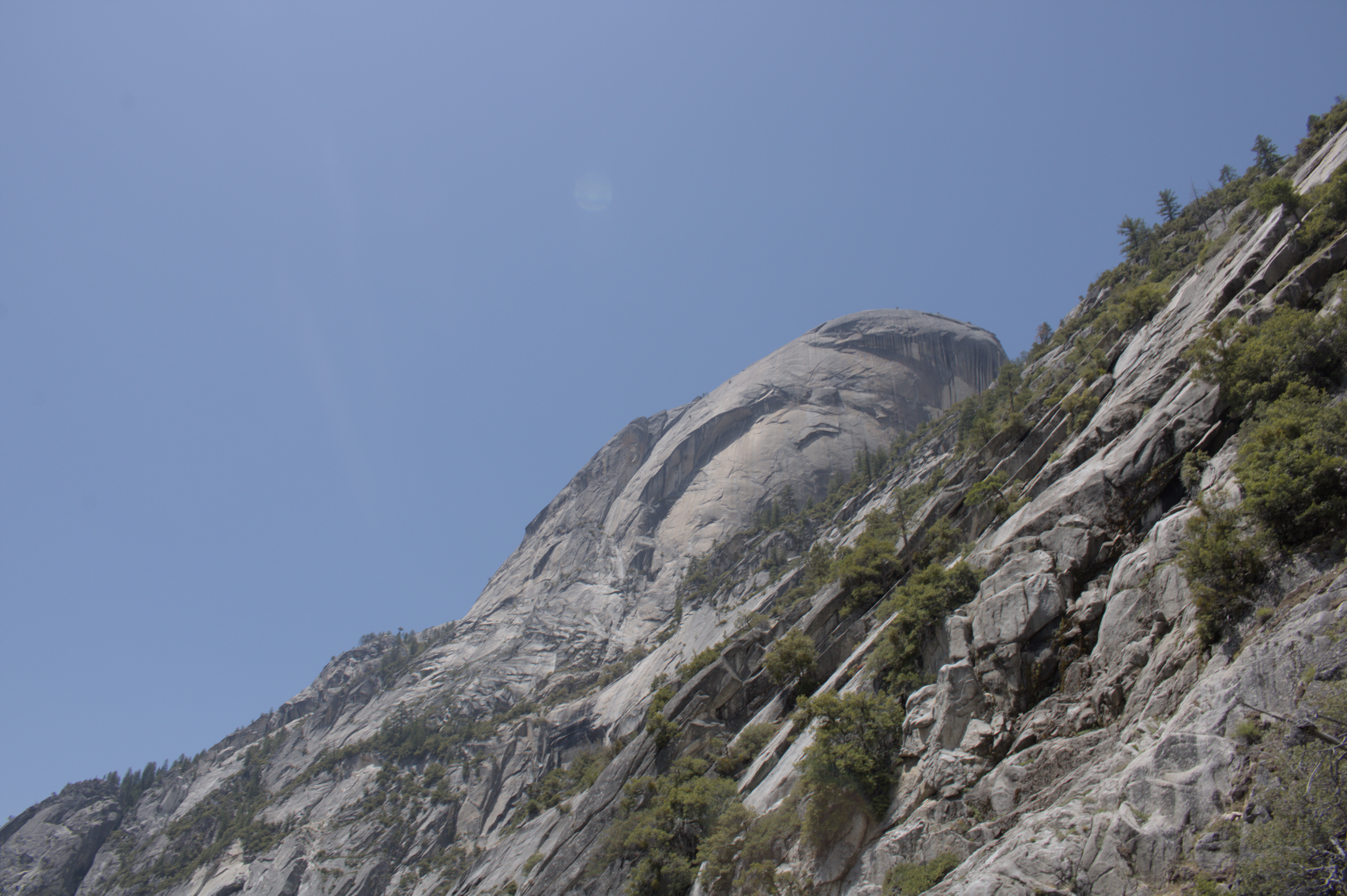
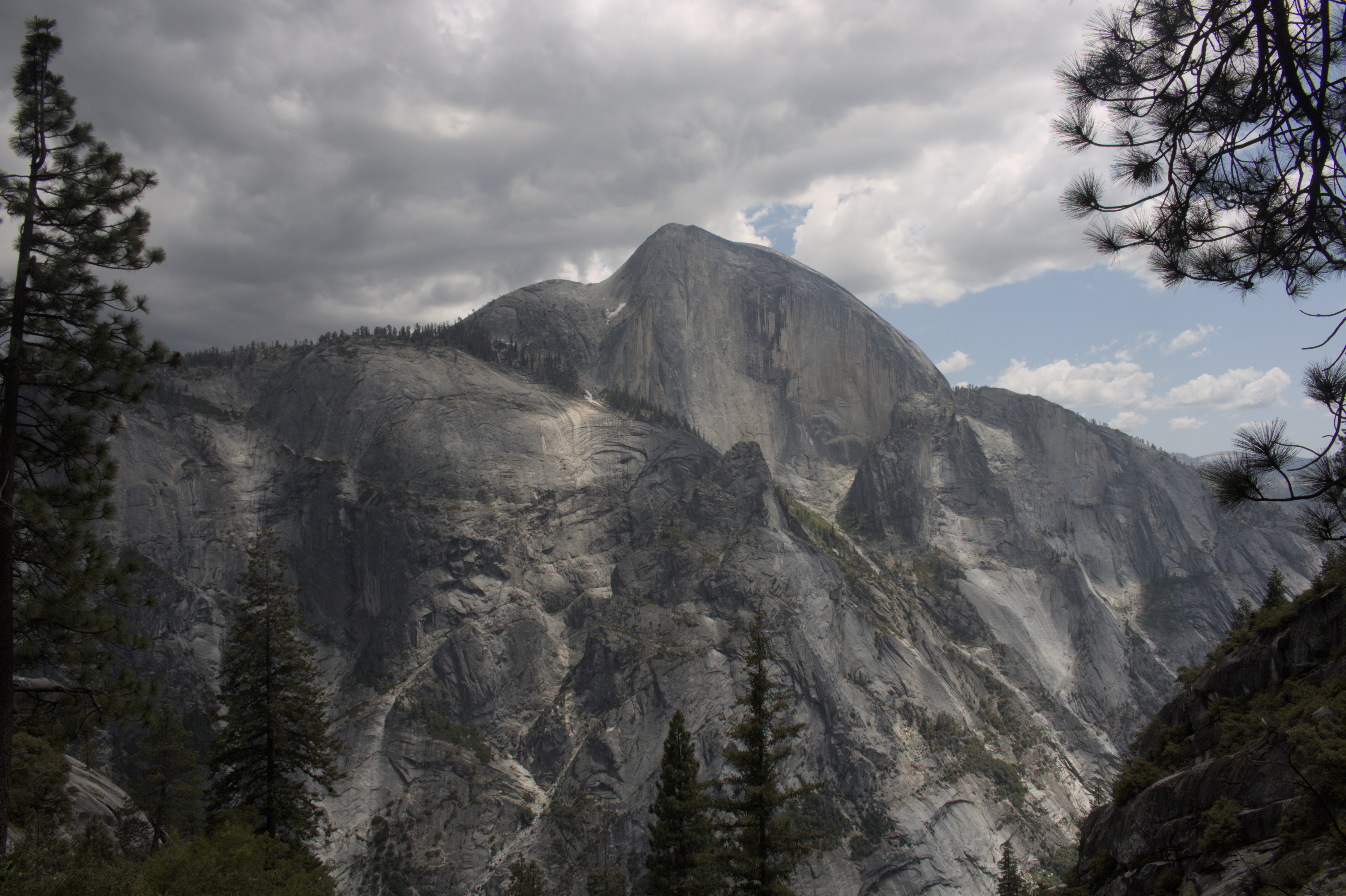
You see, my hike started with a climb up the Snow Creek Trail, which sounded relatively innocuous. The trail starts from the valley floor at 4,120 ft. of elevation. It then immediately climbs 2,390 ft.1, then gradually climbs to its peak at 7,800 ft. northwest of Indian Rock for a total elevation change of over 3,600 ft. The climb was difficult, yet it rewarded me with spectacular views.
After several hours, the trail leveled out and the beating heat of the sun was replaced by the booming thunder and comforting drops of rain.
The rain cleared up quickly. Yet, as I continued it became clear that I wasn’t making progress fast enough to finish before nightfall. As I approached the Upper Yosemite Falls, the sun began falling beyond the horizon.
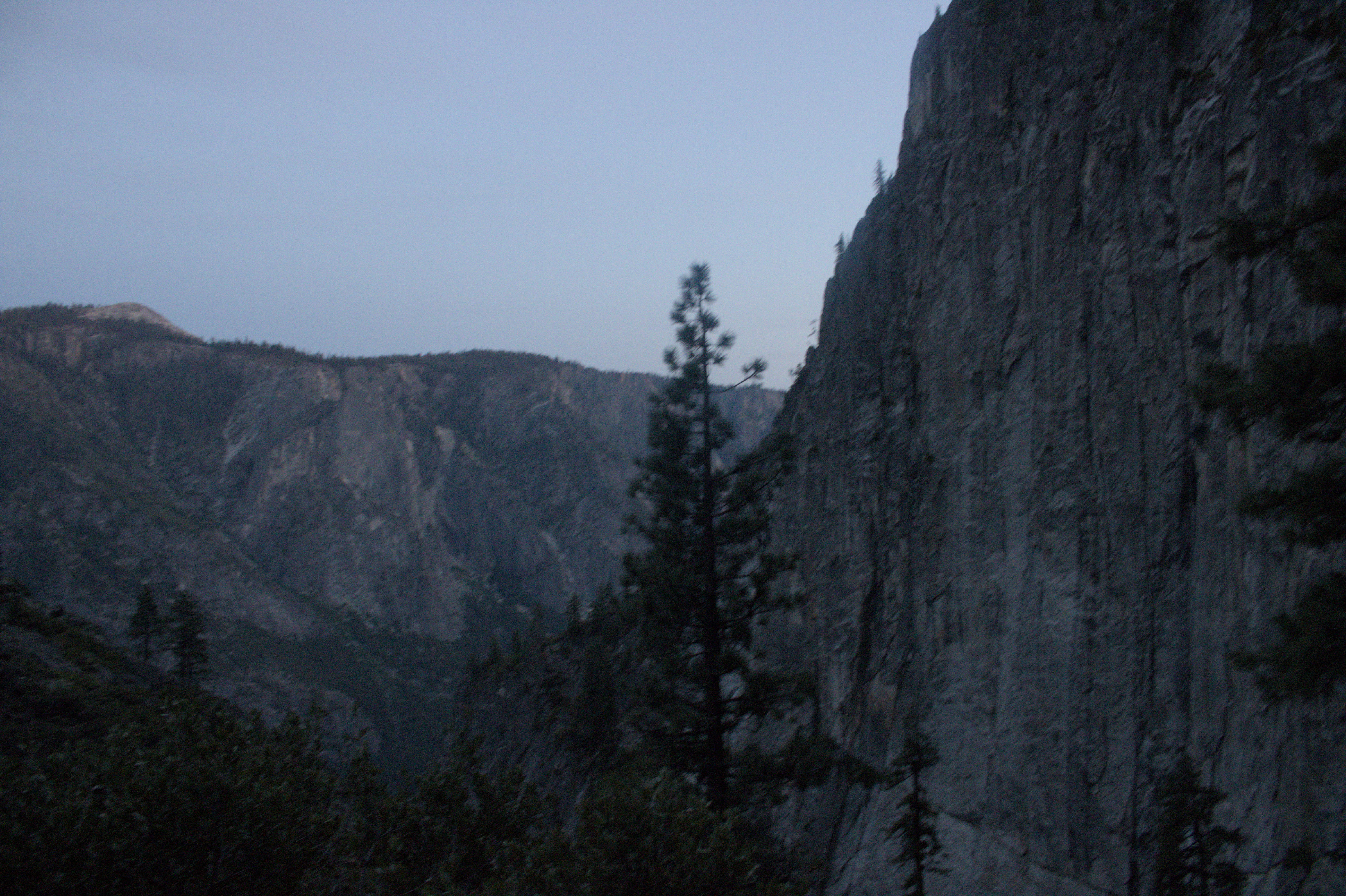
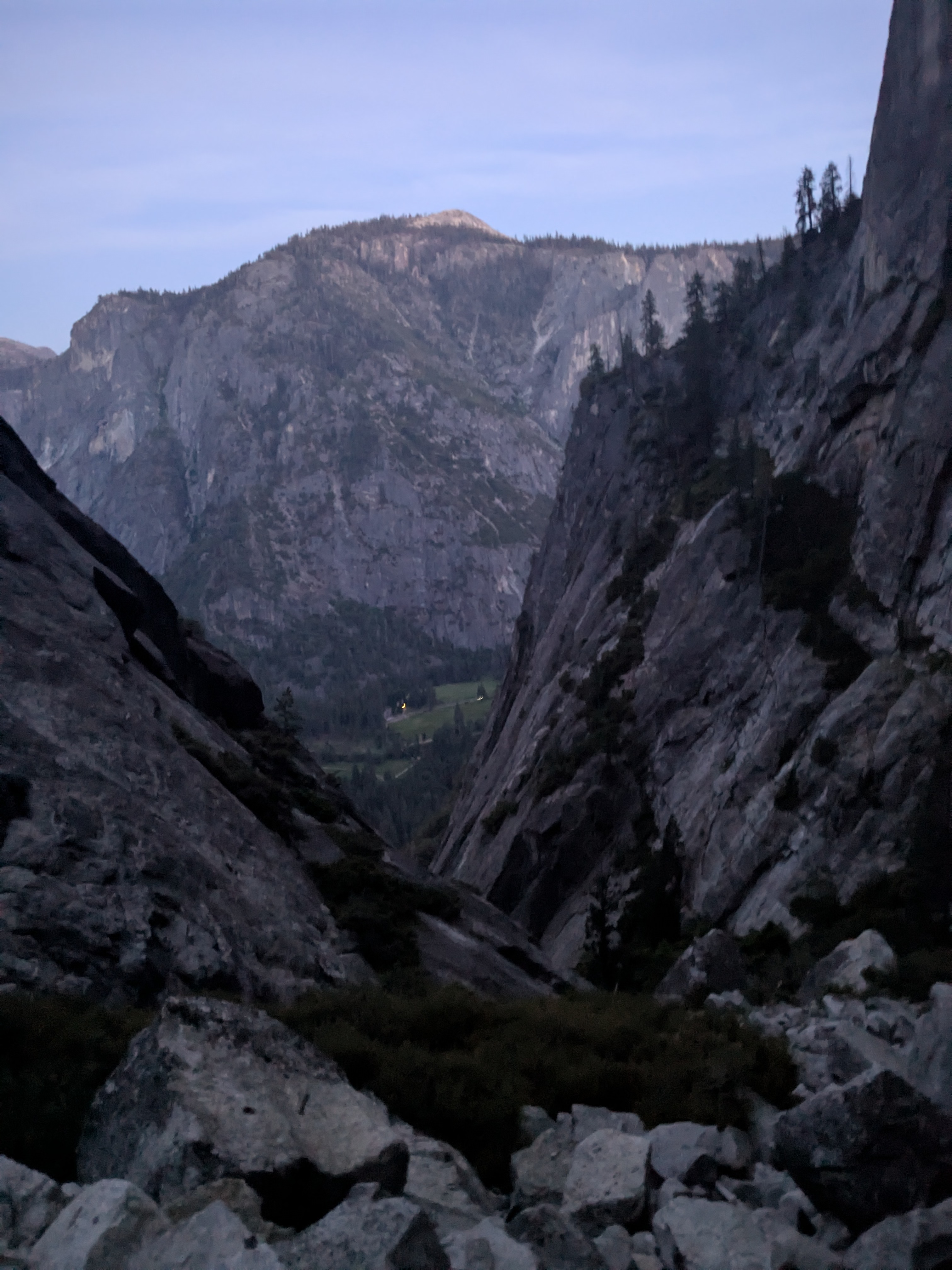
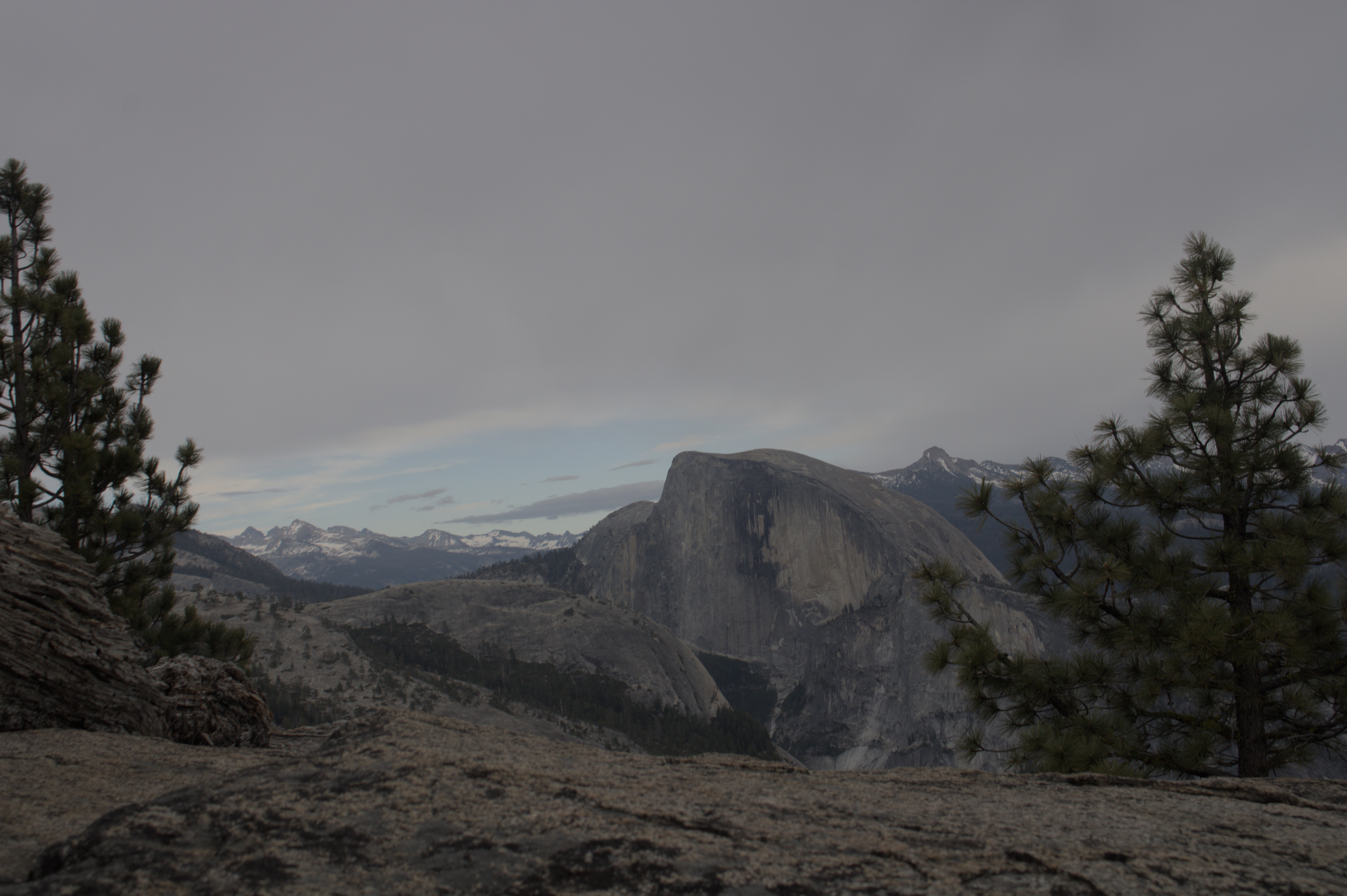
While it might be a bit grainy, this picture stands out to me for combining a beautiful view with an unfortunate implication:
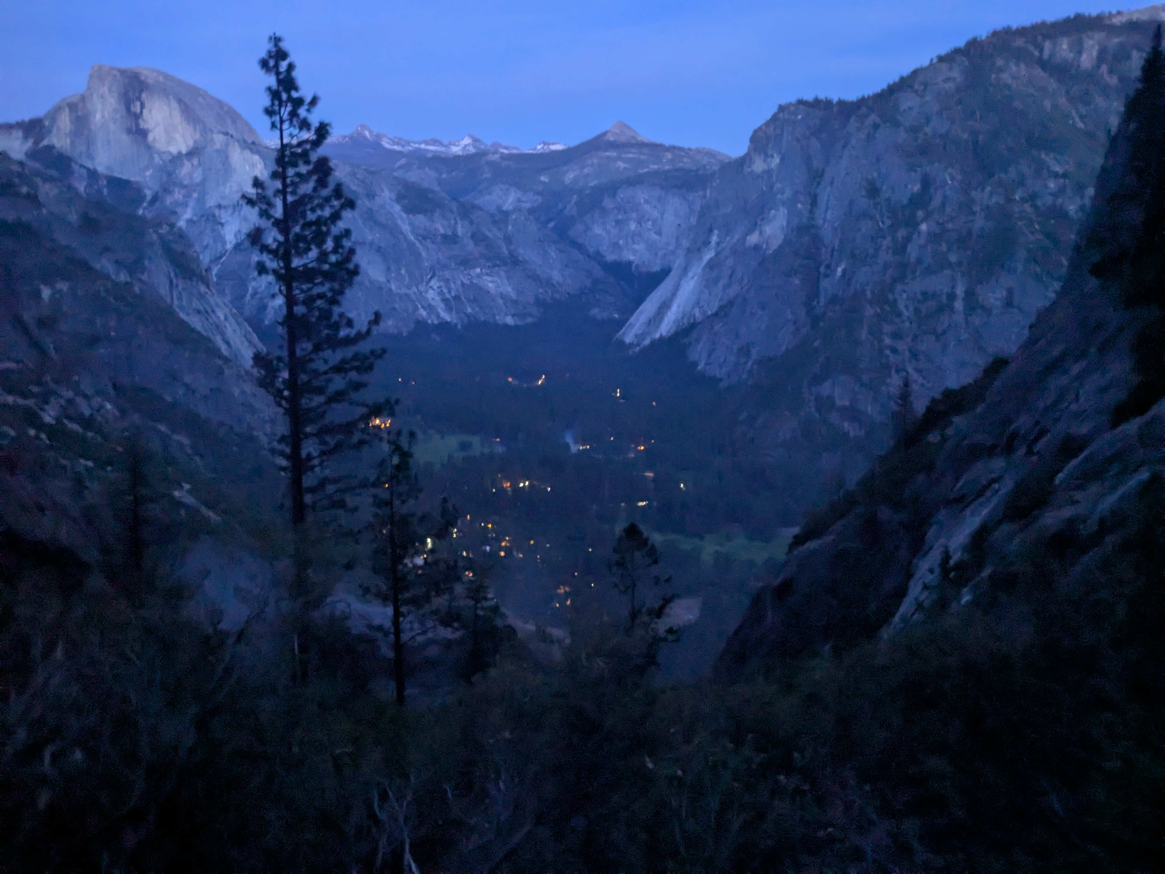
I took this picture at ~9pm. It was very pretty to look out over the Yosemite valley at night, from halfway down a mountain.
But the implication is clear: I’m only halfway down.
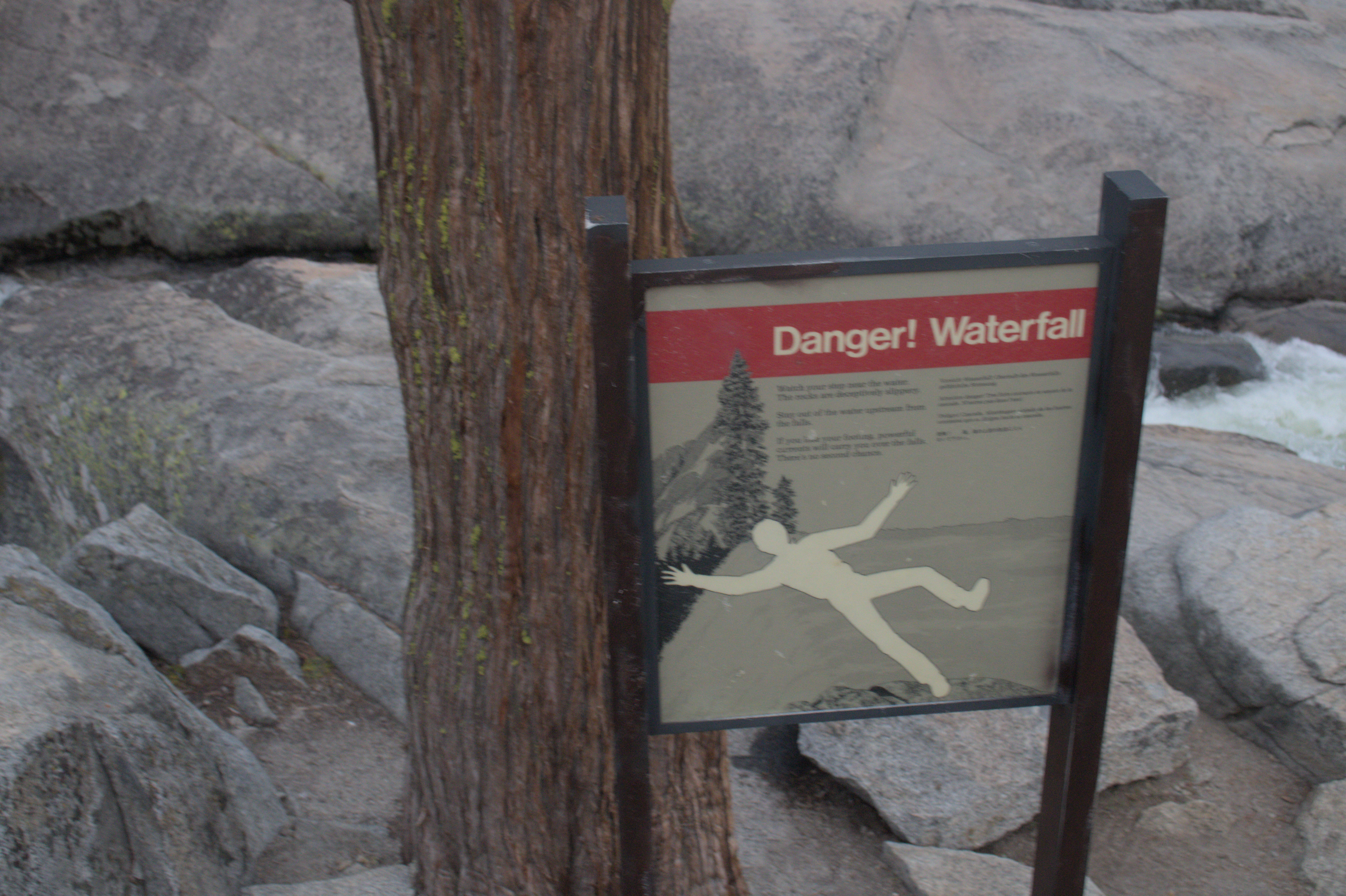
I wanted to scramble down the mountain as fast as I could, but the loose rock ensured each step needed to be placed with care and precision. After sundown, I encountered a stream of flowing water on the path that turned my hike into a slav squat slip-and-slide. As I slid several feet on wet gravel, I looked over the edge of the path and took the time to ponder the very real danger of falling off a mountain. The cliff face was incredibly steep and covered with thick foliage. I felt that if I fell, I wasn’t sure if anyone would find me.
As such, I was flooded with a sense of relief when the valley floor came into view. I had seen the trailhead when I explored the valley floor the day earlier, and knew it would soon be smooth sailing. I reflected on my journey so far. I felt that I had survived. I had set out to do something difficult, but I had not accounted for danger of the night, with its low visibility and hidden threats.
Apparently, while perilous from my perspective, nightime hiking is a popular-ish activity at Yosemite. Feeling the exhaustion of the past 10 hours of hiking, the thought of intentionally doing the hike entirely in the dark felt frankly insane. But, I can at least understand the desire for a challenge. So, I trudged ahead, forcing myself ahead one step at a time.
To add insult to injury, the bus I took to start the hike stopped running at 10pm, so I had the pleasure of walking an extra 2 miles back to where I originally parked my car. I got back to my car almost exactly at midnight, ensuring I got back to my campsite around 1am.
Overall, I set out to do something difficult, and I feel like I accomplished my goal. However, I also could’ve planned this hike better and reduced the risk of falling off a cliff at night. But, I saw some beautiful views nonetheless.
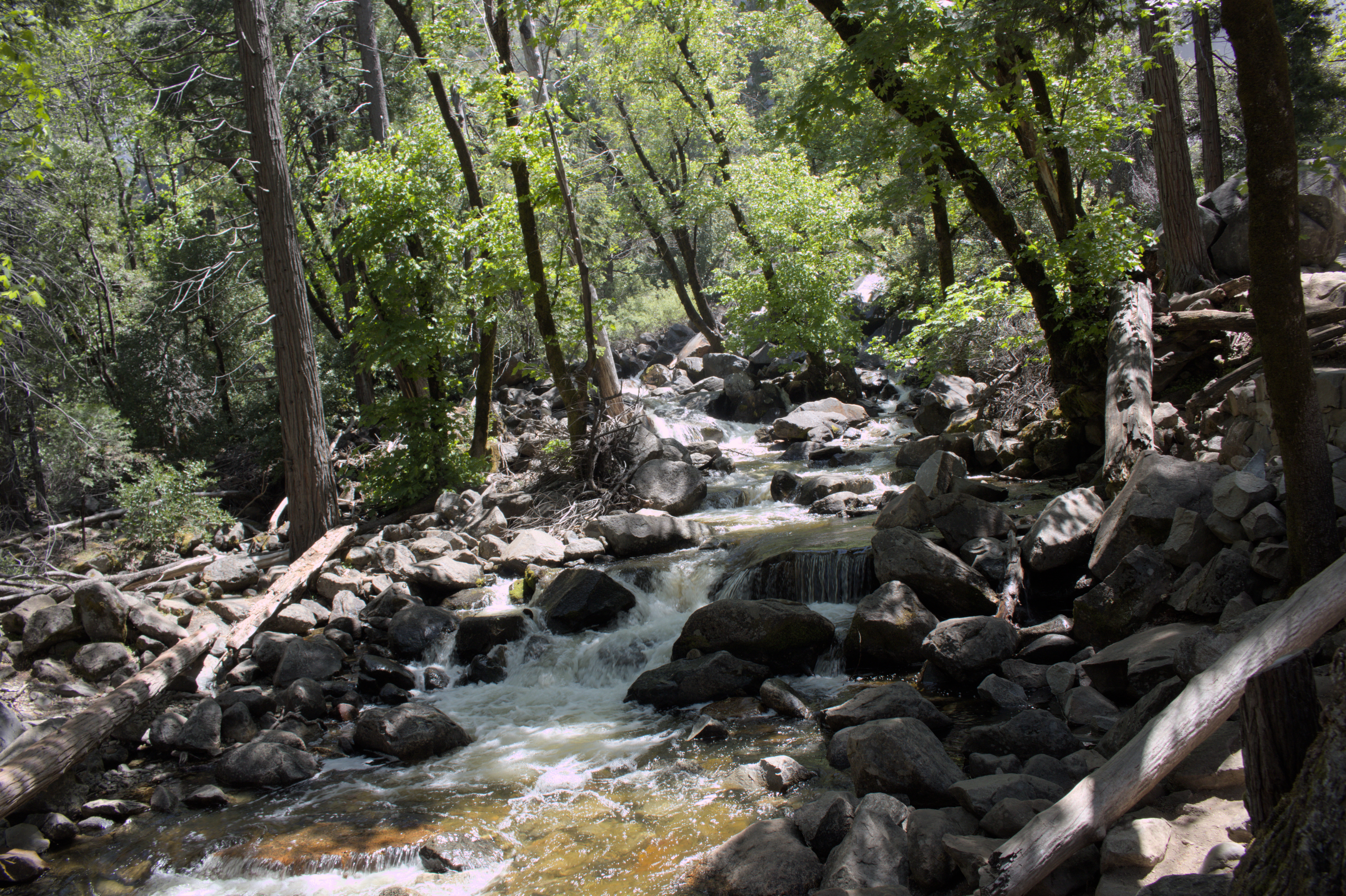
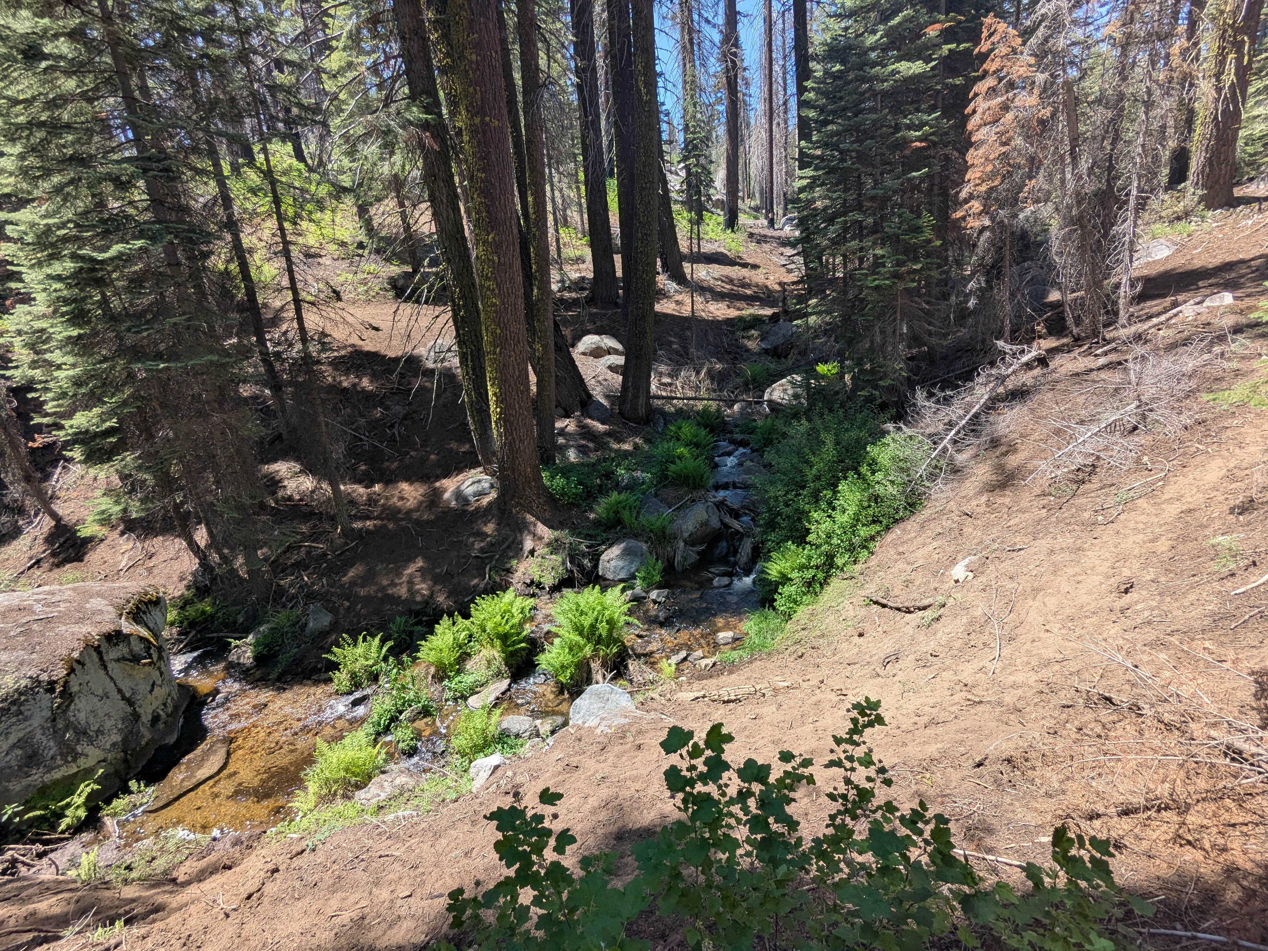
Sequoia National Forest
When planning my trip, I forewent a stop in the Sequoia National Park for one farther south, to be within a day’s drive of the Grand Canyon. I’m still not sure if this was the right call. It worked well for my schedule, but it also meant that the selection of trails were more limited.
Nonetheless, I thoroughly enjoyed sitting next to this stream. I hung out here for several hours and never saw anyone else.
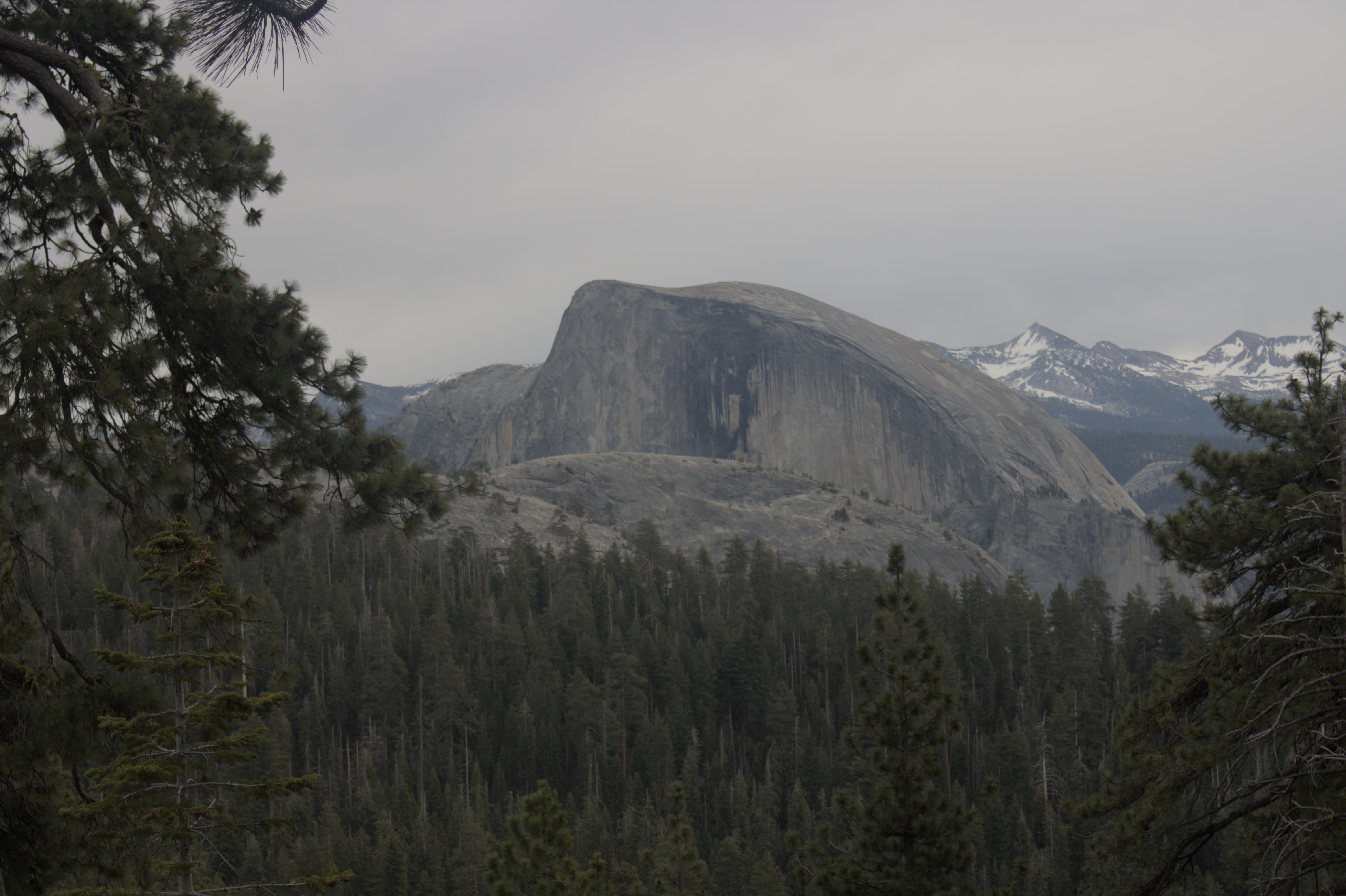
The next day, I took a day hike to Dome Rock, which was the only way to get cell signal. It was surprisingly busy there, and I’m not sure if it was because of the view or the signal.
Conclusion
And, that wraps up my time in California.
While I enjoy solo travel, the highlight of my trip so far was the people I got to meet up with. I enjoyed the multicultural urban landscape of San Francisco, and the stunning natural beauty of Yosemite. I could’ve spent a lifetime in California and not come close to seeing it all.
But, with that, I’m off to the Grand Canyon! See you in the next chapter!
Unless otherwise stated, all of the images and videos above are licensed as Creative Commons Attribution-ShareAlike 4.0.
Footnotes
-
The trail rose from ~4120 ft. to ~6400 ft., zigzagging across approximately 3,900 ft. as the crow flies. For this trail segment, we can find the effective grade: . ↩